
Improving the Usability of Geospatial Data
24th April 2017
Improving the Usability of Geospatial DataThe compilation, reproduction and dissemination of maps and charts by means of manual (analogue) or digital techniques, tools and workflows. This topic covers the compilation, reproduction, dissemination and use of both analogue (paper) and digital maps, charts and atlases. As well as the science of cartography, including georeferencing and geocoding, digital techniques for compiling and generating various types of raster and vector maps and charts are covered, as are the digital mapping tools and Geographic Information Systems available for this purpose. The application of cartography for aeronautical, terrestrial and marine purposes is also covered
24th April 2017
Improving the Usability of Geospatial Data
24th April 2017
Advanced Cybersecurity with Adaptive, Automated Capabilities
24th April 2017
COMIT annual conference – Mobilising Digital Assets24th April 2017
The Global Space Exploration Conference - GLEX2017


21st April 2017
FIG Working Week 2017 - register before the deadline 25 April
21st April 2017
Environmental Data Collection & the Need for Speed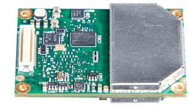
21st April 2017
New GNSS receiver boards with expanded constellation tracking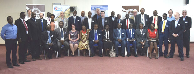
20th April 2017
Geodata access for African resource development
20th April 2017
HERE, MediaTek team up to deliver advanced global positioning solutions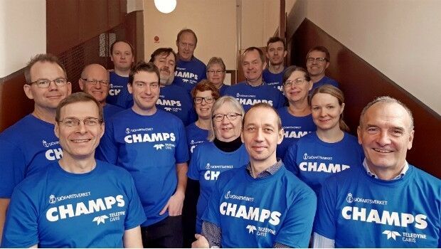
20th April 2017
CARIS Hydrographic Production Database for Swedish Maritime Admin.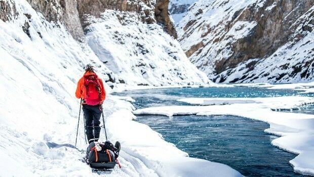
19th April 2017
Space Flight Laboratory (SFL) at IAA Berlin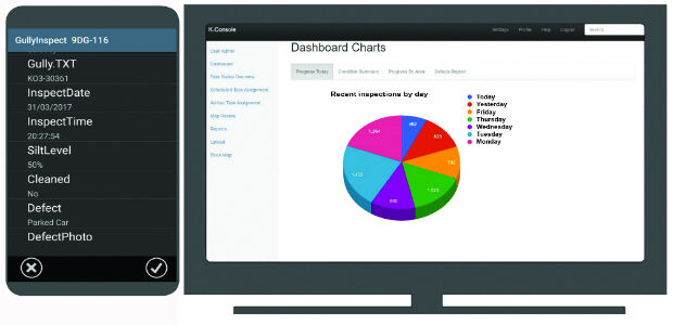
19th April 2017
K-Gully a hosted gully cleaning management system for contractors.
19th April 2017
GeoPlace annual conference – “Why I hate addresses” and all that19th April 2017
OGC seeks comment on proposed GeoScience Domain Working Group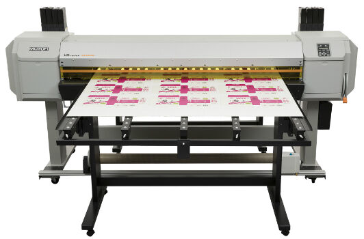
19th April 2017
Mutoh to Introduce A2-size Flatbed LED UV Printer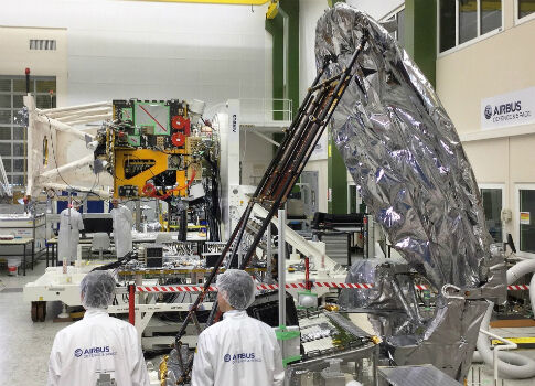
19th April 2017
EarthCARE: Japanese Cloud Radar meets its spacecraft for first time
19th April 2017
Autonomous Vehicles – have we reached the end of the road?
19th April 2017
MNSAT: IFGICT to work with KSF Space Mapping to protect environment19th April 2017
Blue Marble Releases Geographic Calculator 2017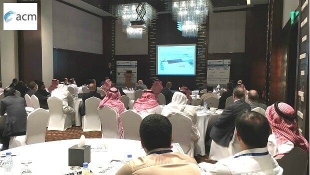

18th April 2017
Mike Osborne Wins AMSI Council Business Person of the Year 2017 Award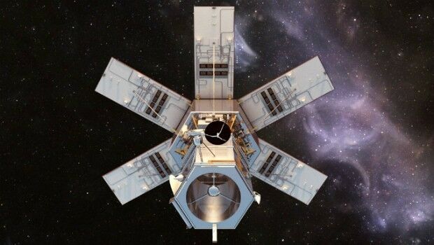
18th April 2017
Distribution of WorldView-4 satellite imagery in Europe begins
18th April 2017
3D Repo Cloud Platform adds Integrated Virtual Reality18th April 2017
Trumbull Unmanned Using SimActive for Emergency Response
18th April 2017
USGIF Confirms Keynotes for the GEOINT 2017 Symposium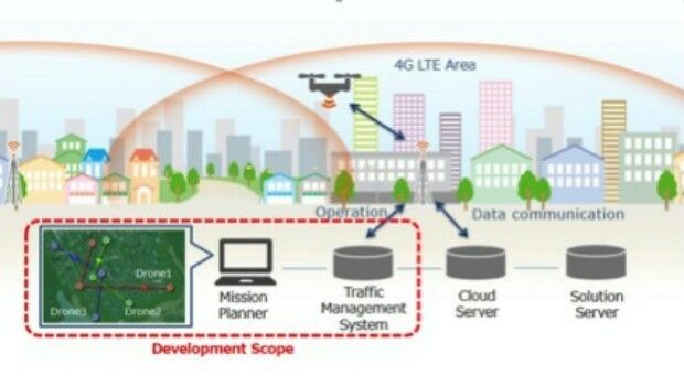
14th April 2017
KDDI and Terra Drone announce the invention of “4G LTE control system
13th April 2017
Global push for Earth observations continues13th April 2017
adsquare to enrich its advertisers platform with HERE location data13th April 2017
USGIF Launches Initiative to Grow GEOINT Workforce in St. Louis
13th April 2017
thinkWhere appoints Jumpstart's Brian Williamson as chair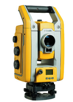
13th April 2017
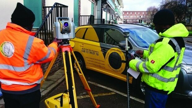
Millimeter Accuracy for Monitoring Applications13th April 2017
GeoSmart adds Ambiental data to enhance its Flood Risk Assessments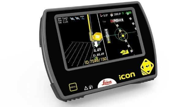
12th April 2017
Leica iCON now integrated in Liebherr LIPOS®
12th April 2017
Vertical Images: from film making to inspection12th April 2017
Ordnance Survey invites you to have a Wild Night Out
12th April 2017
Ecometrica lands on FT1000 list of Europe's fastest growing companies
12th April 2017
KPF Joined by HOK, OS and Unit9 for Third British Information Modelling Event10th April 2017
Terra Drone’s Innovations take off at Brisbane’s Myriad Festival10th April 2017
what3words Launches Addressing System in Arabic