
PCI Geomatics Signs MOU with AGH University, in Krakow, Poland
26th October 2017
PCI Geomatics Signs MOU with AGH University, in Krakow, PolandThe compilation, reproduction and dissemination of maps and charts by means of manual (analogue) or digital techniques, tools and workflows. This topic covers the compilation, reproduction, dissemination and use of both analogue (paper) and digital maps, charts and atlases. As well as the science of cartography, including georeferencing and geocoding, digital techniques for compiling and generating various types of raster and vector maps and charts are covered, as are the digital mapping tools and Geographic Information Systems available for this purpose. The application of cartography for aeronautical, terrestrial and marine purposes is also covered
26th October 2017
PCI Geomatics Signs MOU with AGH University, in Krakow, Poland26th October 2017
Tulloch Mapping Purchases the FIRST RIEGL VMX-2HA!26th October 2017
Okeanus Upgrades Nortek Signature55 System26th October 2017
New OGC standard improves the reference for Earth Information25th October 2017
Saudi Ministry of Interior Supports Hajj and Umrah Safety with Hexagon Solution
25th October 2017
New Supply-Chain Accessories for the NAUTIZ X2
24th October 2017
VSTEP provide CAE with bridge simulators for UAE Naval Training Centre
24th October 2017
Globalstar IoT Solution Protects Norway Reindeer from Train Collisions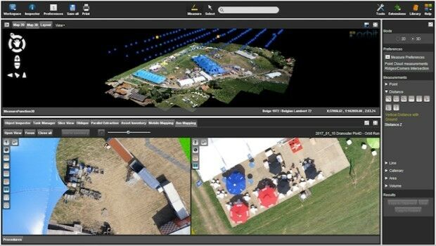
24th October 2017
Orbit GT launches new Feature Extraction product for Drones23rd October 2017
Septentrio launches the AsteRx-m2a and AsteRx-m2a UAS23rd October 2017
Fugro Secures New Contract For Marine Site Investigation In Mexico
23rd October 2017
Jack Dangermond to Discuss Earth Observations at GEO Week23rd October 2017
Why the new T-Charge scheme won't help make London greener23rd October 2017
Orbital Witness wins Airbus’ Global Earth Observation Challenge23rd October 2017
Commercial UAV Expo Announces Highlights of Upcoming 2017 Event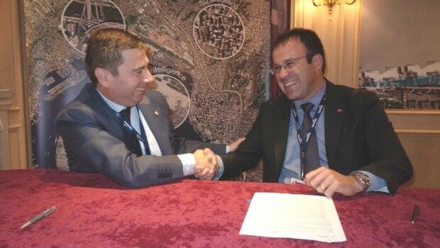
23rd October 2017
UrtheCast and e-GEOS together offer unique optical and SAR products23rd October 2017
Call for Proposals to develop NSDI Metadata Handbook in Namibia23rd October 2017
A new generation of disruptive property and location data businesses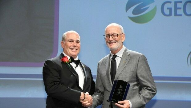
23rd October 2017
Ian MacLeod receives SEG Cecil Green Enterprise Award21st October 2017
Mapping Out the Surprises from WORLD ECDIS DAY
21st October 2017
Virtual Surveyor Unveils Productivity Tools at Commercial UAV Expo21st October 2017
NFSP Fire & Rescue Services helped to improve their service21st October 2017
Hexagon Supports Zurich’s Public Transportation Network21st October 2017
Interoute adds Edge SD WAN service to their arsenal
21st October 2017
OceanWise Marine Data Management and GIS Workshop
20th October 2017
Maintenance of the utility networks with Mobile Mapping technology18th October 2017
Enhanced and Improved Functionalities for New Release of Global Mapper17th October 2017
OceanWise Offers Continuity for Marine Mapping Users
17th October 2017
Earth-i’s satellite imagery chosen to monitor tree logging in Canada17th October 2017
Get Outside for National Map Reading Week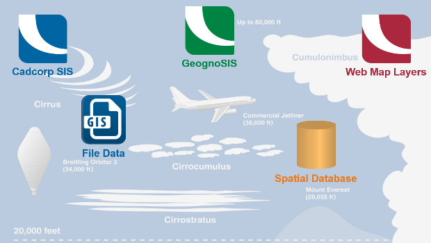
17th October 2017
Cloud migration path for Cadcorp web mapping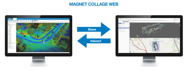
16th October 2017
Topcon launches three new technology updates for the built environment16th October 2017
PDF3D work with Forensics to Bring 3D PDF into the Court Room14th October 2017
NavVis partners with PrecisionPoint to bring American indoors online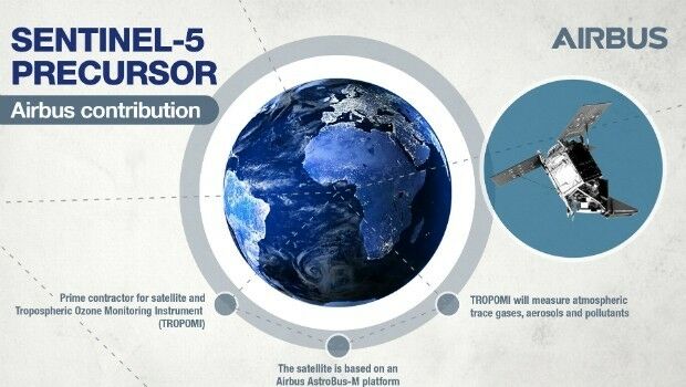
14th October 2017
Sentinel-5P successfully launched to monitor world’s pollution13th October 2017
International Conference on Cultural Heritage and New Technologies13th October 2017
GSDI Webinar on Open Geospatial Data on 16 November 2017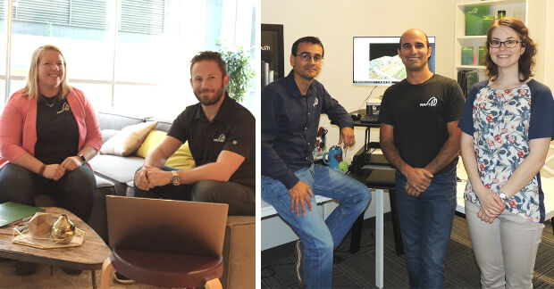
13th October 2017
Maptek Announces New Montréal and Vancouver Offices
13th October 2017
Airborne LiDAR production fully integrated with Leica HxMap workflow.jpg)
13th October 2017
Luciad Announces Winners of Geospatial Excellence Awards12th October 2017
EarthSense Partnership Maps City Clean Air Cycle Routes
11th October 2017
EUTELSAT 172B satellite reaches geostationary orbit in record time
11th October 2017
When shipping becomes a matter of life or death
11th October 2017
UAV exhibition opens doors to businesses across Europe11th October 2017
First Lockheed Martin GPS III Satellite “Available for Launch