
GeoCue adds Puerto Rico LIDAR data to Support Hurricane Recovery
16th November 2017
GeoCue adds Puerto Rico LIDAR data to Support Hurricane RecoveryThe compilation, reproduction and dissemination of maps and charts by means of manual (analogue) or digital techniques, tools and workflows. This topic covers the compilation, reproduction, dissemination and use of both analogue (paper) and digital maps, charts and atlases. As well as the science of cartography, including georeferencing and geocoding, digital techniques for compiling and generating various types of raster and vector maps and charts are covered, as are the digital mapping tools and Geographic Information Systems available for this purpose. The application of cartography for aeronautical, terrestrial and marine purposes is also covered
16th November 2017
GeoCue adds Puerto Rico LIDAR data to Support Hurricane Recovery
16th November 2017
Autodesk and Esri Team to Advance Infrastructure Planning and Design15th November 2017
Ocean Summit in Halifax, Canada – Only One Month to Go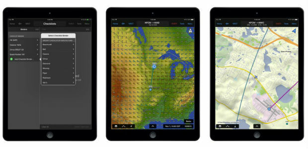
15th November 2017
Garmin Pilot grows feature set for iOS and Android mobile devices15th November 2017
Control Room Awards to celebrate heroes of the emergency services
15th November 2017
GSSI Showcases It’s Latest GPR Technology at World of Concrete 2018
15th November 2017
Centrik Helps Texo DSI Evidence UAV Excellence
15th November 2017
senseFly teams up with Esri to host free ‘Drone to GIS’ webinar15th November 2017
Solent project considers what to do with dredged sediment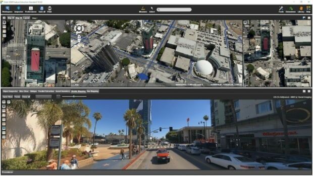
15th November 2017
Orbit GT releases 3D Mapping Feature Extraction Standard v18
15th November 2017
Hexagon's Public Safety App Featured in the Microsoft Patrol Car15th November 2017
SSTL to build UrtheCast’s UrtheDailyTM Constellation15th November 2017
Trimble Expands CenterPoint RTX FAST Correction Service14th November 2017
Luciad Launches Next Generation of Geospatial Situational Awareness14th November 2017
SeaRobotics Appoints 4D Ocean as a Reseller for Northern Europe14th November 2017
DotProduct partners with Assemble Systems14th November 2017
Esri and Mobileye to Bring Real-Time Sensor Data to Public Transit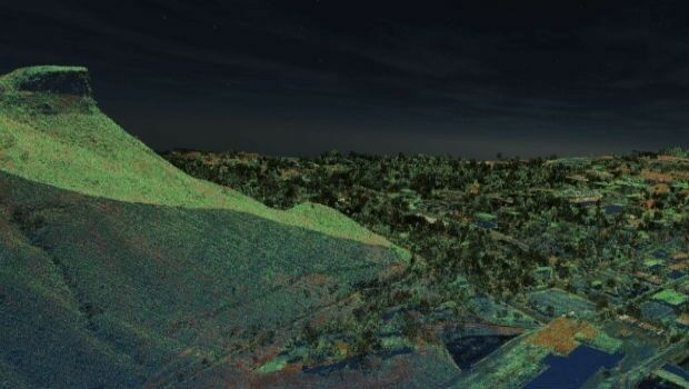
14th November 2017
Golden Software Releases Surfer® 2D and 3D14th November 2017
Avenza Releases MAPublisher 10 For Adobe Illustrator14th November 2017
Safe City Framework Unveiled at Smart City World Congress

14th November 2017
Hexagon Launches Framework for Safe Cities Today14th November 2017
CACI Boosts Location Planning Services with Mapmechanics Acquisition14th November 2017
Landmark's major relaunch of MAGIC interactive GB mapping service14th November 2017
Elbit Systems to Showcase Advanced Training & Simulation Solutions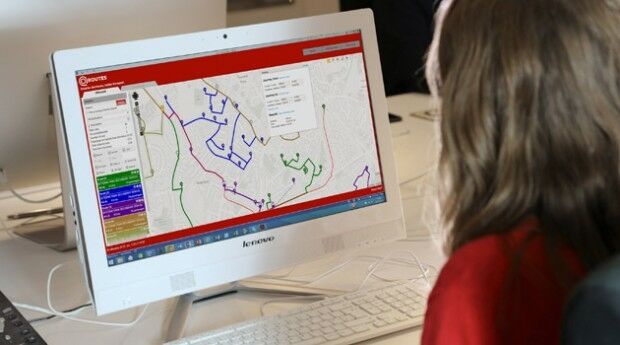
14th November 2017
QRoutes Launches Special Needs Transport Planning Software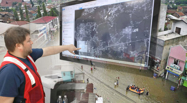
14th November 2017
thinkWhere Powers Humanitarian Disaster Response with OpenStreetMap Tool14th November 2017
SSTL confirms sale of SST-US assets to General Atomics
13th November 2017
European Space Imaging celebrates 15 years of success
13th November 2017
MV Kobi Ruegg Joins Fugro’s Survey Vessel Fleet13th November 2017
CDP wins secure Ecometrica's position for emissions reporting13th November 2017
Pitney Bowes Launches Global Collaboration Community
13th November 2017
JLT Mobile Computers Selected by Steketee for Smart Farming13th November 2017
Hemisphere GNSS Announces Major Enhancements to Its Atlas® GNSS13th November 2017
New Augmented Reality app to help local authorities13th November 2017
Inmarsat and Pessl Instruments to deliver IoT solutions
12th November 2017
Hemisphere GNSS Debuts A222 Scalable GNSS Smart Antenna12th November 2017
FIG Congress 2018, 6-11 May 2018 In Istanbul Turkey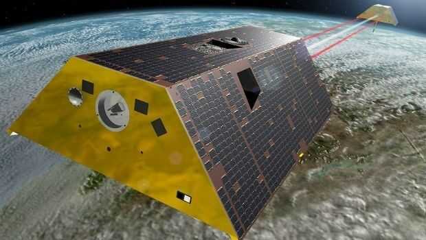
10th November 2017
Airbus receives go-ahead for twin GRACE-FO satellites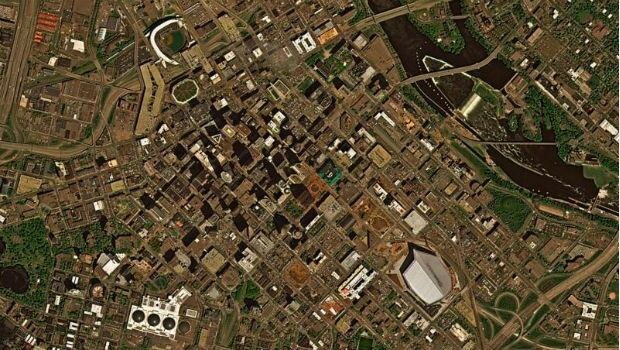
10th November 2017
East View Geospatial Signs Reseller Contract with UrtheCast
10th November 2017
Tersus Announces Precis Board Firmware V1.15 Release
9th November 2017
Airbus signs in orbit demonstration contract with ESA9th November 2017
DroneSAR Win European Satellite Navigation Competition
9th November 2017
Warrington Borough Council Optimise Highways Asset Management9th November 2017
Airbus to build Türksat 5A and 5B satellites