
UAV exhibition opens doors to businesses across Europe
10th October 2017
UAV exhibition opens doors to businesses across EuropeThe compilation, reproduction and dissemination of maps and charts by means of manual (analogue) or digital techniques, tools and workflows. This topic covers the compilation, reproduction, dissemination and use of both analogue (paper) and digital maps, charts and atlases. As well as the science of cartography, including georeferencing and geocoding, digital techniques for compiling and generating various types of raster and vector maps and charts are covered, as are the digital mapping tools and Geographic Information Systems available for this purpose. The application of cartography for aeronautical, terrestrial and marine purposes is also covered
10th October 2017
UAV exhibition opens doors to businesses across Europe10th October 2017
Topcon Leadership at Bentley Year in Infrastructure Conference10th October 2017
Garmin® Head-up Display (GHD) system for integrated flight decks
9th October 2017
Collaboration for Constructioneering Academy initiative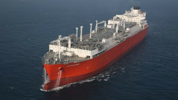
9th October 2017
Bureau Veritas releases new rules for FSRUs meeting industry needs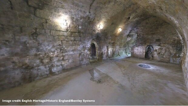
6th October 2017
European Consortium Demonstrates new Internet-of-Things Platform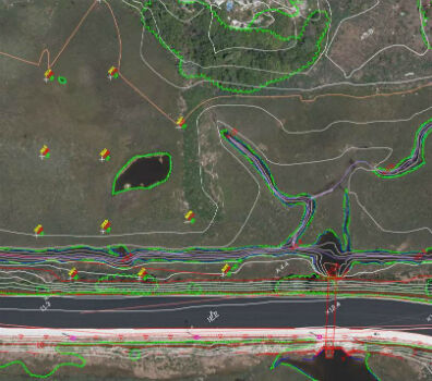
6th October 2017
Col-East Taps Extensive Image Archive to Create Multi-Function Maps
5th October 2017
Geosoft and AcornSI move UXO classification to the cloud
5th October 2017
Intelligent Telematics Makes Senior Management Appointment
5th October 2017
Martin Truex Jr.’s Beechjet 400A is equipped with Garmin® G50005th October 2017
OGC Announces New 3D Portrayal Service Standard5th October 2017
Turn your great idea into a great business4th October 2017
OS GetOutside Champions help the nation to get outside more often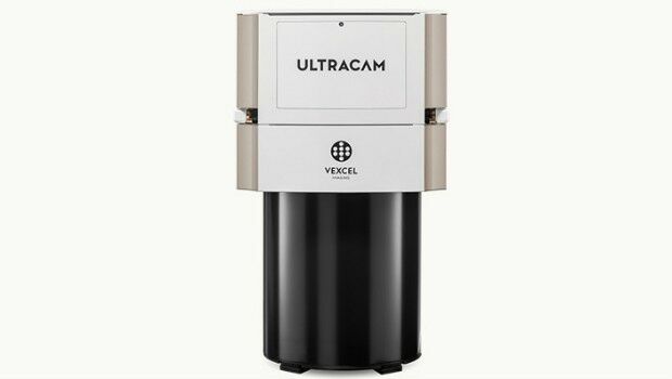
4th October 2017
Vexcel Imaging introduces the new UltraCam Eagle Mark 3
4th October 2017
Bureau Veritas joins the RECOMMS drones project

3rd October 2017
Satellite Images show Europe's diversity in new book
2nd October 2017
Frequentis and Hexagon for Nationwide Integrated Command Centers
2nd October 2017
Approaches and solutions for tomorrow’s transport
2nd October 2017
Drone Major Group - launches today to provide global connectivity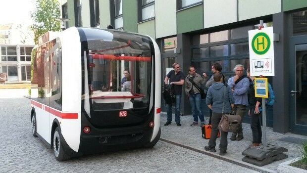

2nd October 2017
LAStools Win Big at INTERGEO Taking Home Two Innovation Awards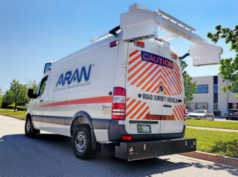
30th September 2017
Fugro Wins Highway Data Collection Contract for The State Of Alaska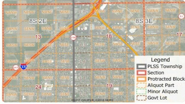
30th September 2017
Free Public Land Survey System (PLSS) Data for Use with Maptitude30th September 2017
Pitney Bowes selects HERE data to aid insurers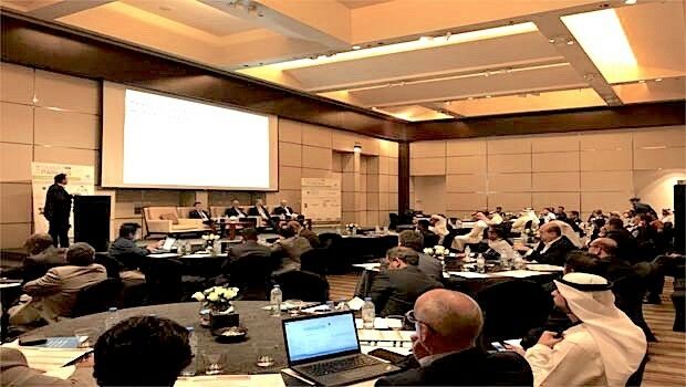
28th September 2017
Successfully launching the 3rd Annual Smart Parking UAE Conference28th September 2017
INTERGEO 2017 – “We are bringing worlds together”
28th September 2017
Astun Technology Supports Ordnance Survey
28th September 2017
RIEGL announces significant product news at INTERGEO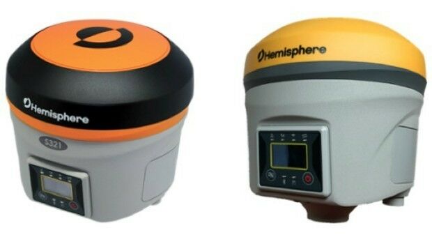
28th September 2017
Hemisphere GNSS Debuts Next-Generation S321+ and C321+ GNSS Smart Antennas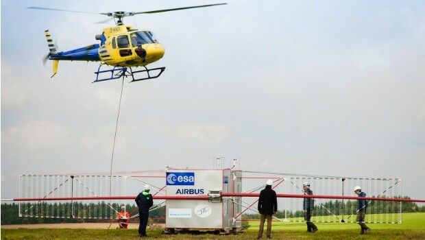
27th September 2017
JUICE radar antenna tested in helicopter flight campaign.jpg)
27th September 2017
First true tilt compensation GNSS is next Leica Captivate Experience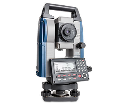
27th September 2017
Sokkia introduces new manual total station with sophisticated features27th September 2017
Brainnwave Brings Unique Data Portal to Scotland Showcase27th September 2017
INTERGEO 2017 Berlin: Geo-IT-event officially opened26th September 2017
Partnership Offers Analysis Software for Scholarship Winners26th September 2017
ArcGIS Pro Users 'Finding the Best Place for a Public Park'26th September 2017
Commercial UAV Expo Europe Moves to Amsterdam in April, 201826th September 2017
New extras added to Global Mapper V.19 - Now Availale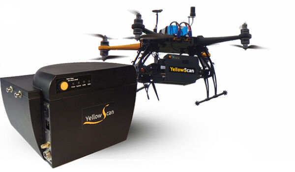
26th September 2017
YellowScan & Quantum Systems partnership