Cartography
The compilation, reproduction and dissemination of maps and charts by means of manual (analogue) or digital techniques, tools and workflows. This topic covers the compilation, reproduction, dissemination and use of both analogue (paper) and digital maps, charts and atlases. As well as the science of cartography, including georeferencing and geocoding, digital techniques for compiling and generating various types of raster and vector maps and charts are covered, as are the digital mapping tools and Geographic Information Systems available for this purpose. The application of cartography for aeronautical, terrestrial and marine purposes is also covered
.jpg)
First Purpose-built Rugged Tablet with Scientific-grade GNSS
10th April 2018
First Purpose-built Rugged Tablet with Scientific-grade GNSS

Digital Construction Week Call-for-Papers Deadline Approaches
9th April 2018
Digital Construction Week Call-for-Papers Deadline ApproachesMaptek showcases Sentry world-class monitoring system
9th April 2018
Maptek showcases Sentry world-class monitoring system
Orbit GT and Instrumental Y Optica, Ecuador, sign Reseller Agreement
9th April 2018
Orbit GT and Instrumental Y Optica, Ecuador, sign Reseller Agreement
Esri and UNOSAT Host GIS for a Sustainable World Conference
9th April 2018
Esri and UNOSAT Host GIS for a Sustainable World Conference
UK BIM Alliance Product Data Working Group Confirmed
9th April 2018
UK BIM Alliance Product Data Working Group Confirmed
International Scientific Expedition to Weddell Sea Announced
8th April 2018
International Scientific Expedition to Weddell Sea Announced
Updated Global Mapper Academic Labs Now Available
7th April 2018
Updated Global Mapper Academic Labs Now Available
GSSI Announces New Sales Restructuring to Better Serve Customers
6th April 2018
GSSI Announces New Sales Restructuring to Better Serve Customers
CGG Launches First Lien Senior Secured Notes Offering
6th April 2018
CGG Launches First Lien Senior Secured Notes Offering
CGG Launches First Lien Senior Secured Notes Offering
6th April 2018
CGG Launches First Lien Senior Secured Notes Offering
Inaugural European Drone Summit in Frankfurt
5th April 2018
Inaugural European Drone Summit in Frankfurt
1Spatial awarded contract by the European Union Satellite Centre
5th April 2018
1Spatial awarded contract by the European Union Satellite CentreTopcon Commitment To Closing The Skills Gap With Survey School
5th April 2018
Topcon Commitment To Closing The Skills Gap With Survey School
GeoSpock Bolsters C-suite Team as Part of Scale-up Plan
5th April 2018
GeoSpock Bolsters C-suite Team as Part of Scale-up Plan
USGIF Announces Keynotes for the GEOINT 2018 Symposium
5th April 2018
USGIF Announces Keynotes for the GEOINT 2018 SymposiumFugro Returns To Hollandse Kust Wind Farm Zone
4th April 2018
Fugro Returns To Hollandse Kust Wind Farm Zone
Bentley Systems’ Year in Infrastructure 2018 Conference and Awards Gala
4th April 2018
Bentley Systems’ Year in Infrastructure 2018 Conference and Awards Gala
senseFly and Trimble optimize workflow for geospatial drone operators
3rd April 2018
senseFly and Trimble optimize workflow for geospatial drone operators
Topcon and Bentley to hold collaborative Constructioneering Academy
3rd April 2018
Topcon and Bentley to hold collaborative Constructioneering Academy
East View Geospatial Launches On-Demand Milspec Geospatial Data
3rd April 2018
East View Geospatial Launches On-Demand Milspec Geospatial Data
Sensor and data fusion capabilities for the Navy & Marine Corps
3rd April 2018
Sensor and data fusion capabilities for the Navy & Marine CorpsHemisphere GNSS Appoints Jeffrey Farrar as Senior Sales Manager
30th March 2018
Hemisphere GNSS Appoints Jeffrey Farrar as Senior Sales ManagerSimple and Essential Telematics Device for Fleet Management
30th March 2018
Simple and Essential Telematics Device for Fleet ManagementTopcon introduces new laser series designed for distance and accuracy
30th March 2018
Topcon introduces new laser series designed for distance and accuracyFugro boosts efficiency of super sewer site characterisation
30th March 2018
Fugro boosts efficiency of super sewer site characterisation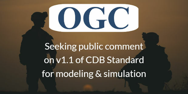
OGC seeks public comment on version 1.1 of CDB standard
30th March 2018
OGC seeks public comment on version 1.1 of CDB standard
Copernicus Data Warehouse Offers 40 cm Imagery
30th March 2018
Copernicus Data Warehouse Offers 40 cm Imagery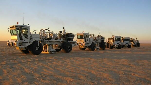
ERM Advanced Telematics helps automobile dealers retrieve vehicles
29th March 2018
ERM Advanced Telematics helps automobile dealers retrieve vehicles
Pix4D announces Pix4Dfields, dedicated product for agriculture
29th March 2018
Pix4D announces Pix4Dfields, dedicated product for agricultureCSA and HWCG Deliver Rapid Monitoring Solution for O&G Operators
29th March 2018
CSA and HWCG Deliver Rapid Monitoring Solution for O&G Operators
Tracking technology leads to Police arrests and recovery
28th March 2018
Tracking technology leads to Police arrests and recovery
Copernicus Masters 2018 Submissions Open 1 April
28th March 2018
Copernicus Masters 2018 Submissions Open 1 April
9th IGRSM International Conference and Exhibition
28th March 2018
9th IGRSM International Conference and ExhibitionPlanetObserver Announces Release of PlanetSAT Global Imagery Basemap
28th March 2018
PlanetObserver Announces Release of PlanetSAT Global Imagery Basemap
9th IGRSM International Conference and Exhibition
28th March 2018
9th IGRSM International Conference and Exhibition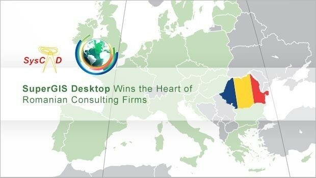
SuperGIS Desktop Wins the Heart of Romanian Consulting Firms
28th March 2018
SuperGIS Desktop Wins the Heart of Romanian Consulting Firms
Assystem Technologies and UWINLOC join forces
27th March 2018
Assystem Technologies and UWINLOC join forces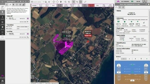
senseFly takes drone flight planning & management to next level
27th March 2018
senseFly takes drone flight planning & management to next level
INTERGEO 2018 - Exciting, Topical, Trendsetting
27th March 2018
INTERGEO 2018 - Exciting, Topical, Trendsetting