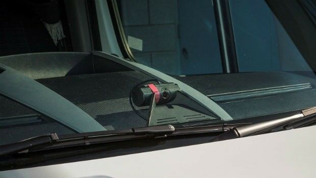
Insurance Savings Potential Of Connected Vehicle Cameras Revealed
27th March 2018
Insurance Savings Potential Of Connected Vehicle Cameras RevealedThe compilation, reproduction and dissemination of maps and charts by means of manual (analogue) or digital techniques, tools and workflows. This topic covers the compilation, reproduction, dissemination and use of both analogue (paper) and digital maps, charts and atlases. As well as the science of cartography, including georeferencing and geocoding, digital techniques for compiling and generating various types of raster and vector maps and charts are covered, as are the digital mapping tools and Geographic Information Systems available for this purpose. The application of cartography for aeronautical, terrestrial and marine purposes is also covered
27th March 2018
Insurance Savings Potential Of Connected Vehicle Cameras Revealed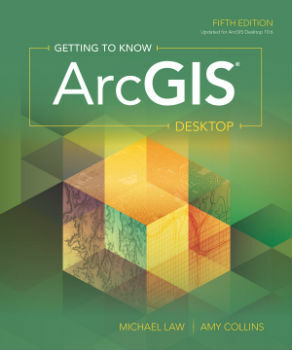
27th March 2018
New Esri Textbook Teaches the Fundamentals of ArcGIS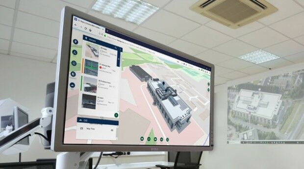
27th March 2018
New 3D Repo version adds BCF support and GIS integration
26th March 2018
Maptitude 2018 Adds Enhanced MapPoint and Streets & Trips Features26th March 2018
GRSG Chairman is Coming Up Trumps for the Geological Society
26th March 2018
First high capacity space-to-ground laser communications system26th March 2018
CGG announces the appointment of Sophie Zurquiyah as CEO
26th March 2018
thinkWhere Moves to Tech Scaleup Incubator CodeBase Stirling
26th March 2018
Topotrade first worldwide marketplace for Land Surveying Instruments24th March 2018
Esri Location Intelligence Empowers Innovation at FirstNet Hackathon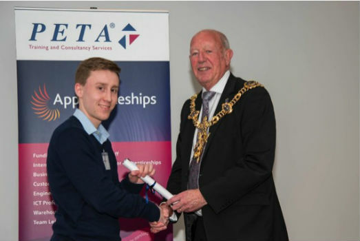
23rd March 2018
OceanWise’s Will Girard wins at the 2018 Apprentice of the Year Awards!23rd March 2018
Fugro Collects Hydrographic Data For Nautical Chart Updates23rd March 2018
Phase One Industrial and Aerialtronics Sign Partnership Agreement23rd March 2018
Discover more with new Ordnance Survey GPS Devices23rd March 2018
OGC announces Part 3 of the WaterML 2 suite of standards
23rd March 2018
Working to improve the resilience of Caribbean water supply22nd March 2018
GfK releases new digital maps for Germany, Austria and Switzerland
22nd March 2018
World’s First Wide-Area Security with Multiple Autonomous Flying Drones
22nd March 2018
Elbit to Acquire Universal Avionics Systems Corporation
22nd March 2018
Join the International IoT Week 2018 in Bilbao!21st March 2018
Open Geospatial Standards track at ISPRS Technical Commission
21st March 2018
3Dtracking platform fully compatible with ATrack GPS trackers_GEO.jpg)
21st March 2018
Lincolnshire County Council Implements thinkWhere’s Cloud GIS21st March 2018
Global Mapper and LiDAR Module SDK v19.1 Now Available21st March 2018
Launching INTERGEO 2018 Geoinformation – the DNA of digitalisation21st March 2018
Hexagon Joins British APCO as Platinum Member21st March 2018
Esri Partners Honored at Esri FedGIS Conference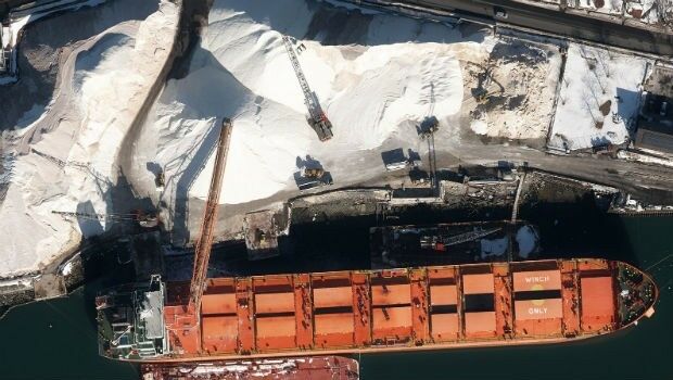
21st March 2018
Col-East Inventories Salt Piles from the Air Each Winter
20th March 2018
Leeds Teaching Hospitals Enhancing Logistics And Transport Management
20th March 2018
How to Get High-Accuracy GNSS Using Your Phone20th March 2018
Mapmaker AND provides MapFusion to Dutch government
20th March 2018
New SR3 underground laser scanner from Maptek20th March 2018
Government gives go ahead for Geospatial Apprenticeships
20th March 2018
Electric Vehicles Won’t Run Out of Charge Mid-Delivery with Stream20th March 2018
SimActive Launches Free Data Processing Service
19th March 2018
SCTX 2018: technology for greater security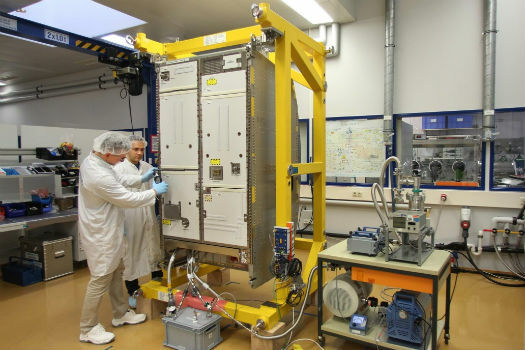
19th March 2018
Airbus delivers new life support system for the ISS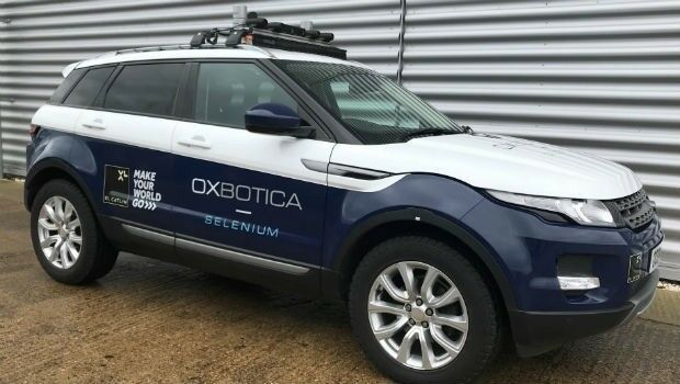
19th March 2018
Gatwick to be first airport in the world to trial autonomous vehicles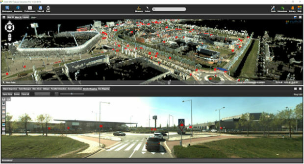
19th March 2018
Orbit GT releases 3D Mapping Feature Extraction Pro v18
19th March 2018
Wärtsilä acquires Transas to accelerate its Smart Marine Ecosystem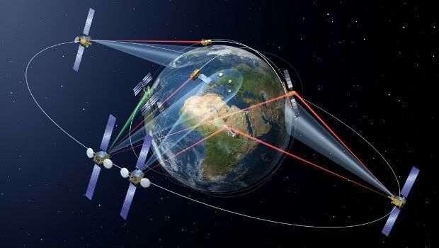
19th March 2018
SpaceDataHighway starts full Copernicus service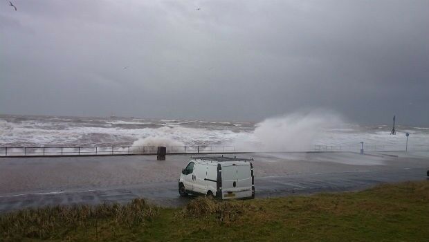
16th March 2018
Developing a new tool to optimise sea wall design16th March 2018
Safe & The City Launches App To Combat Sexual Harassment In Public
16th March 2018
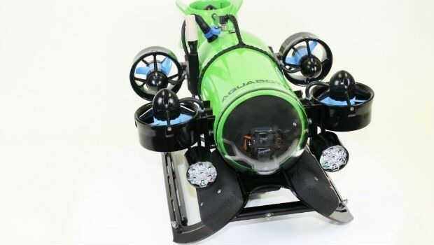
Aquabotix Announces Sale of Hybrid Vehicle to KIGAM