
GeoSpock launches unique location intelligence platform
1st May 2018
GeoSpock launches unique location intelligence platformThe compilation, reproduction and dissemination of maps and charts by means of manual (analogue) or digital techniques, tools and workflows. This topic covers the compilation, reproduction, dissemination and use of both analogue (paper) and digital maps, charts and atlases. As well as the science of cartography, including georeferencing and geocoding, digital techniques for compiling and generating various types of raster and vector maps and charts are covered, as are the digital mapping tools and Geographic Information Systems available for this purpose. The application of cartography for aeronautical, terrestrial and marine purposes is also covered
1st May 2018
GeoSpock launches unique location intelligence platform
1st May 2018
Space Forum 2018: From Space Application To Space Exploration1st May 2018
Esri Joins Smart Cities New York 2018 Conference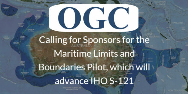
30th April 2018
OGC Calls for Sponsors for Maritime Limits and Boundaries Pilot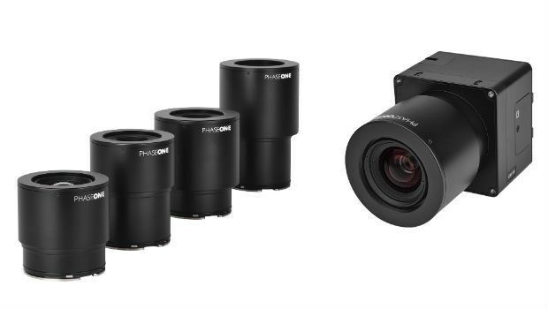
30th April 2018
Phase One Industrial Innovates UAV-based Aerial Imagery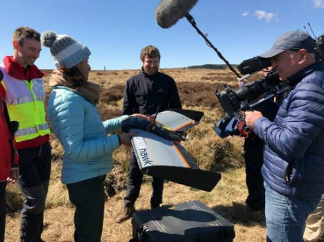
27th April 2018
QuestUAV showcasing on BBC One’s Countryfile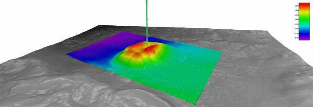
27th April 2018
Fugro Provides Seep Hunting Expertise Offshore Brazil27th April 2018
First International Satellite-Derived Bathymetry Conference Announced26th April 2018
Wet Infrastructure Summit and Future Drainage Conference26th April 2018
Autotalks Joins the Connected Motorcycle Consortium26th April 2018
Fugro’s Award-Winning Expertise at OTC 2018
26th April 2018
Submit Your Work for Display in the Esri UC Map Gallery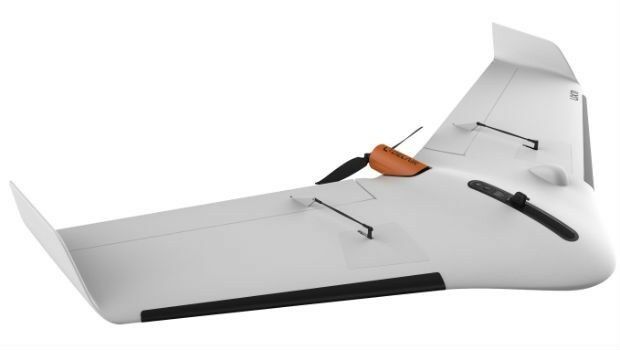
26th April 2018
Delair Announces Availability of UAV for Geospatial Professionals26th April 2018
Bentley Systems Acquires Plaxis, and Complementary SoilVision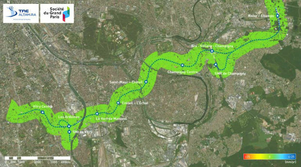
26th April 2018
Grand Paris Express: first results of satellite monitoring26th April 2018
Captains of industry accept position in Unifly advisory board26th April 2018
Esri's Developer Technology Supports Situational Awareness Workflows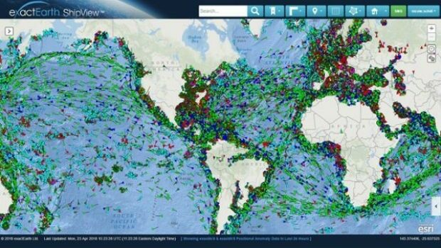
25th April 2018
Major Upgrades to exactEarth's Vessel Tracking Platform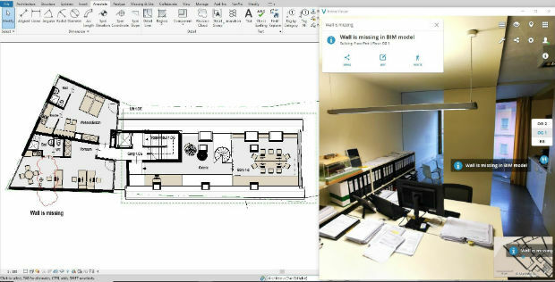
25th April 2018
Place & Location Technologies at heart of GEO Business Conference25th April 2018
GEO Business conference welcomes geospatial experts in May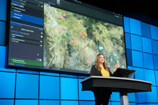
24th April 2018
ArcGIS Pro Workstation Customized for the Intelligence Community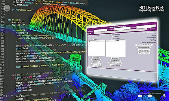
24th April 2018
3DUserNet announced today the release of their first generation API.24th April 2018
Geovation reveals next wave of GeoTech and PropTech businesses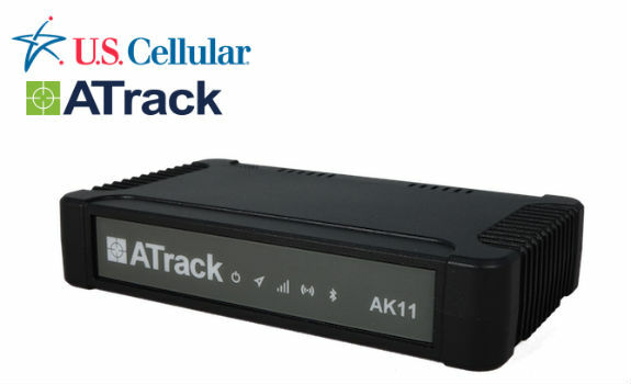
24th April 2018
ATrack AK11 LTE Fleet Hub Certified on U.S. Cellular Network
24th April 2018
Wingtra launches a drone that sets a new benchmark in photogrammetry
24th April 2018
Hemisphere GNSS Announces Family of Rugged Handheld Devices
24th April 2018
Creaform and Metrologic Group announce Worldwide Partnership Agreement
23rd April 2018
East View Geospatial Now Offering PlanetSAT 10-meter Global Mosaic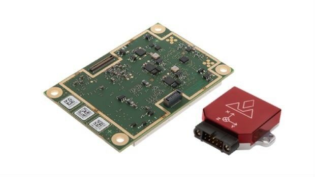
23rd April 2018
Introducing the new AsteRx-i for IMU-enhanced GNSS positioning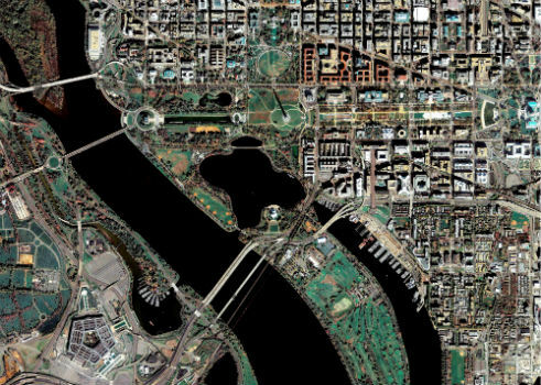
23rd April 2018
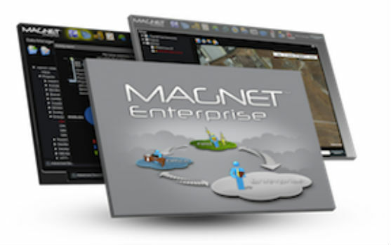
Topcon announces upcoming MAGNET Enterprise release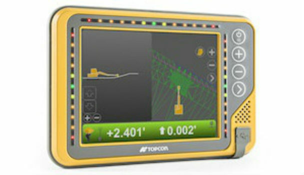
23rd April 2018
Topcon announces new modular 3D machine control excavation system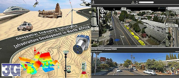
23rd April 2018
Orbit GT and 3G-Consult, Tunisia, sign Reseller Agreement23rd April 2018
Hemisphere GNSS' Flexible & Scalable GradeMetrix™ Toolkit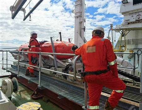
21st April 2018
Fugro’s Ultra-Deepwater Surveys Support Seabed Mining Exploration20th April 2018
Five Reasons to Attend the 2018 Esri User Conference20th April 2018
The UAV sector is becoming more professional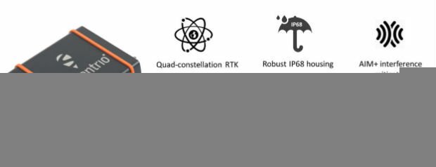
20th April 2018
Septentrio launches the AsteRx SB GNSS receiver20th April 2018
OGC Seeks Public Comment on update to Abstract Specification Topic 2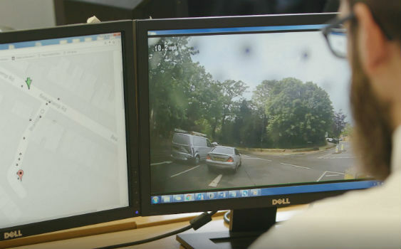
19th April 2018
Intelligent Telematics Launches Camera Monitoring Solution
19th April 2018
Jason Goodwin appointed as Group Sales and Marketing Director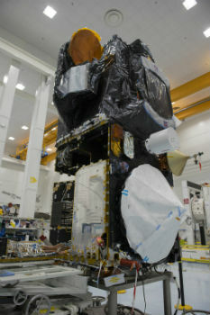
19th April 2018
Airbus adds extra precision to Sentinel-3 satellite altimetry
19th April 2018
New Field Solutions for Land and Construction Surveying