Cartography
The compilation, reproduction and dissemination of maps and charts by means of manual (analogue) or digital techniques, tools and workflows. This topic covers the compilation, reproduction, dissemination and use of both analogue (paper) and digital maps, charts and atlases. As well as the science of cartography, including georeferencing and geocoding, digital techniques for compiling and generating various types of raster and vector maps and charts are covered, as are the digital mapping tools and Geographic Information Systems available for this purpose. The application of cartography for aeronautical, terrestrial and marine purposes is also covered

Users Can Now Access ArcGIS Data in Microsoft Power BI
10th May 2018
Users Can Now Access ArcGIS Data in Microsoft Power BI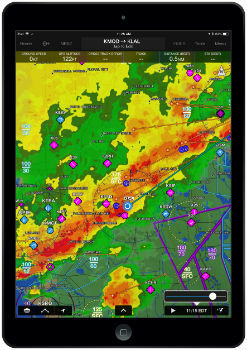
Garmin Pilot iOS incorporates new weather features
9th May 2018
Garmin Pilot iOS incorporates new weather features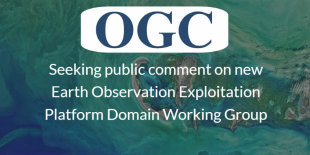
Earth Observation Exploitation Platform Domain Working Group
9th May 2018
Earth Observation Exploitation Platform Domain Working Group
From liability to asset - why your data matters
9th May 2018
From liability to asset - why your data matters
Landmark appoints new Head of Artificial Intelligence
9th May 2018
Landmark appoints new Head of Artificial Intelligence
Fleetcheck Teams Up With Ctrack To Support Connected Fleet Management
9th May 2018
Fleetcheck Teams Up With Ctrack To Support Connected Fleet Management
Geospatial Insight build visual intelligence solutions
9th May 2018
Geospatial Insight build visual intelligence solutions
Sentinel-3B starts delivering on its promise
9th May 2018
Sentinel-3B starts delivering on its promise.jpg)
Geo-data experts pinpoint Birmingham for GeoPlace’s annual conference
9th May 2018
Geo-data experts pinpoint Birmingham for GeoPlace’s annual conference
Data Gateway brings powerful data validation and processing via a self-serve, training-free experien
9th May 2018
Data Gateway brings powerful data validation and processing via a self-serve, training-free experien
Maptitude Team Provides Sponsorship for Applied Geography Conferences
8th May 2018
Maptitude Team Provides Sponsorship for Applied Geography ConferencesExciting toolkit of technologies on display at GEO Business 2018
8th May 2018
Exciting toolkit of technologies on display at GEO Business 2018
CCW celebrates 20 years of advancing mission critical communications
8th May 2018
CCW celebrates 20 years of advancing mission critical communications
Big Data, 5G, automation and artificial intelligence
8th May 2018
Big Data, 5G, automation and artificial intelligence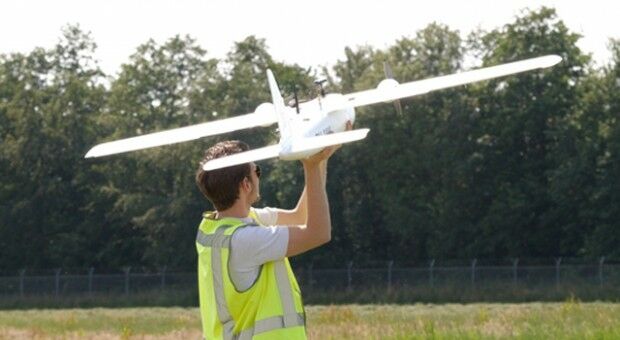
Unifly supports UNICEF's humanitarian drone corridor
8th May 2018
Unifly supports UNICEF's humanitarian drone corridor
GEO|Design+BIM 2018 Opens Call for Speakers
8th May 2018
GEO|Design+BIM 2018 Opens Call for Speakers
MilSatCom USA Conference Agenda has been Updated
8th May 2018
MilSatCom USA Conference Agenda has been Updated
Boundless Continues its Commitment to the Open Source Community
7th May 2018
Boundless Continues its Commitment to the Open Source Community
GPI Geospatial Purchases RIEGL VQ-1560i Airborne LiDAR System!
7th May 2018
GPI Geospatial Purchases RIEGL VQ-1560i Airborne LiDAR System!
OGC seeks public comment on new Interoperable Simulation
7th May 2018
OGC seeks public comment on new Interoperable Simulation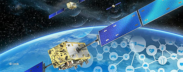


MapAction GIS volunteers to join Royal Wedding celebrations
4th May 2018
MapAction GIS volunteers to join Royal Wedding celebrations
Wet Infrastructure Summit and Future Drainage Abu Dhabi Conference
4th May 2018
Wet Infrastructure Summit and Future Drainage Abu Dhabi Conference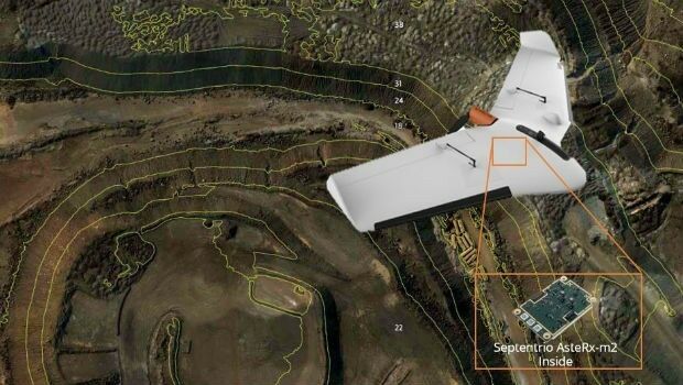
Septentrio supplies AsteRx-m2 for Delair UX11 large-area mapping UAV
4th May 2018
Septentrio supplies AsteRx-m2 for Delair UX11 large-area mapping UAV
Sponsorship for MGGG Geometry of Redistricting Workshops
4th May 2018
Sponsorship for MGGG Geometry of Redistricting Workshops
OGC announced as official partner of Earth Challenge 2020
4th May 2018
OGC announced as official partner of Earth Challenge 2020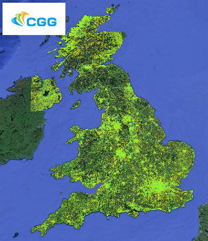
CGG Launches New MotionMap UK National Ground Stability Database
4th May 2018
CGG Launches New MotionMap UK National Ground Stability Database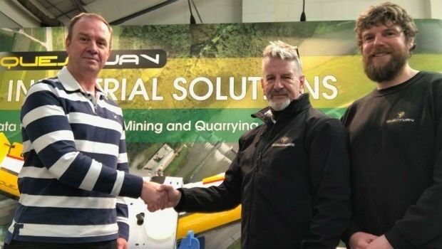
QuestUAV Closes deal to Map World’s Largest Construction Project
4th May 2018
QuestUAV Closes deal to Map World’s Largest Construction Project

ISPS Code Fails To Contemplate Aerial Threats From Drones
4th May 2018
ISPS Code Fails To Contemplate Aerial Threats From Drones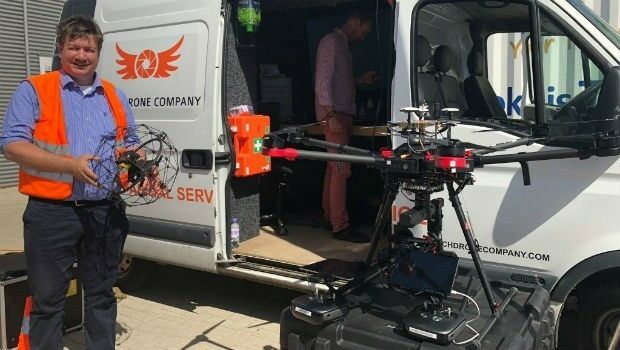
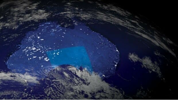
Australian states line up for slice of national space agency
3rd May 2018
Australian states line up for slice of national space agency
ELWAG Project announced to advance autonomous vehicle positioning
3rd May 2018
ELWAG Project announced to advance autonomous vehicle positioningFugro and KAUST To Train Saudi Students In Marine Technology
3rd May 2018
Fugro and KAUST To Train Saudi Students In Marine Technology
Maptitude Mapping Software Team Provides Awards & Prizes
3rd May 2018
Maptitude Mapping Software Team Provides Awards & Prizes
Aptiv Launches Fleet of Autonomous Vehicles on the Lyft Network
3rd May 2018
Aptiv Launches Fleet of Autonomous Vehicles on the Lyft Network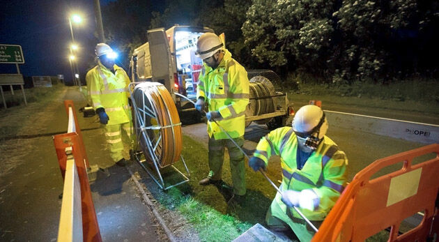
thinkWhere helps Scotland's Superfast Broadband achieve 95% coverage
2nd May 2018
thinkWhere helps Scotland's Superfast Broadband achieve 95% coverage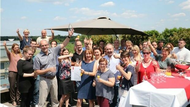
PTV Transport Consult GmbH counts among Germany's top consultants
2nd May 2018
PTV Transport Consult GmbH counts among Germany's top consultantsSphereVision Introduces Smoke Layer and VR Viewing
2nd May 2018
SphereVision Introduces Smoke Layer and VR Viewing
Boundless Exchange Now Available as Managed Offering in the Cloud
2nd May 2018
Boundless Exchange Now Available as Managed Offering in the Cloud
New Rugged Atlas®-Capable UAV GNSS Antenna from Hemispere GNSS
2nd May 2018
New Rugged Atlas®-Capable UAV GNSS Antenna from Hemispere GNSS
Free Drone Strategy Sessions Available to UK Surveying Businesses
2nd May 2018
Free Drone Strategy Sessions Available to UK Surveying Businesses
OGC calls for Sponsors of a major Innovation Initiative, Testbed 15
2nd May 2018
OGC calls for Sponsors of a major Innovation Initiative, Testbed 15
Bentley Systems Invites Members of the Press and Industry Analysts
1st May 2018
Bentley Systems Invites Members of the Press and Industry Analysts