QuestUAV - Survey Mapping of Port of Sunderland
22nd May 2018
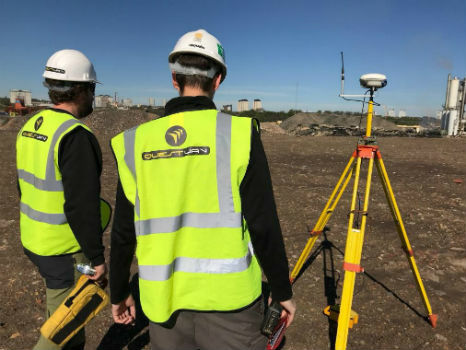
QuestUAV - Survey Mapping of Port of SunderlandThe compilation, reproduction and dissemination of maps and charts by means of manual (analogue) or digital techniques, tools and workflows. This topic covers the compilation, reproduction, dissemination and use of both analogue (paper) and digital maps, charts and atlases. As well as the science of cartography, including georeferencing and geocoding, digital techniques for compiling and generating various types of raster and vector maps and charts are covered, as are the digital mapping tools and Geographic Information Systems available for this purpose. The application of cartography for aeronautical, terrestrial and marine purposes is also covered
22nd May 2018
QuestUAV - Survey Mapping of Port of Sunderland22nd May 2018
Leading location data providers rally around HD Live Map
22nd May 2018
Stationary retail in Europe to grow by 2.1 percent in 201822nd May 2018
Skyline Software Systems Releases Photomesh™ 7.4
22nd May 2018
Bluesky Esri UK Partnership Helps Roll-Out of 5G and Full Fibre Networks

22nd May 2018
Expanded Enterprise Focus at Largest Commercial Drone Show in USA22nd May 2018
Jean-Paul Roux was appointed as new Chairman and CEO
21st May 2018
KOREC invests in ‘New Generation’ Trimble MX9 Mobile Mapping System
21st May 2018
CGG GeoConsulting Launches Robertson New Ventures Suite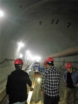
19th May 2018
Focus 35 Total Station with Auto Scan Helping Build China’s Expressway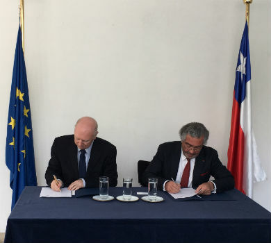
18th May 2018
EARSC and Eurochile join forces to promote Earth observation
18th May 2018
Gatwick’s new passenger app wins two awards at separate ceremonies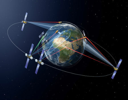
18th May 2018
SpaceDataHighway: 10,000 successful laser connections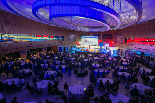

17th May 2018
10-year GSA partnership with European Satellite Navigation Competition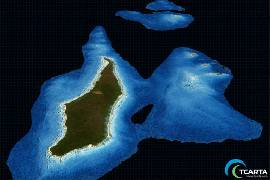
17th May 2018
TCarta Delivers Satellite Derived Bathymetry Data
17th May 2018
GeoSLAM To Showcase The Future Of Construction At GEO Business 201817th May 2018
Nokia enables better decision-making by emergency services

16th May 2018
Ecometrica Wins US Environmental Leader Product of the Year Award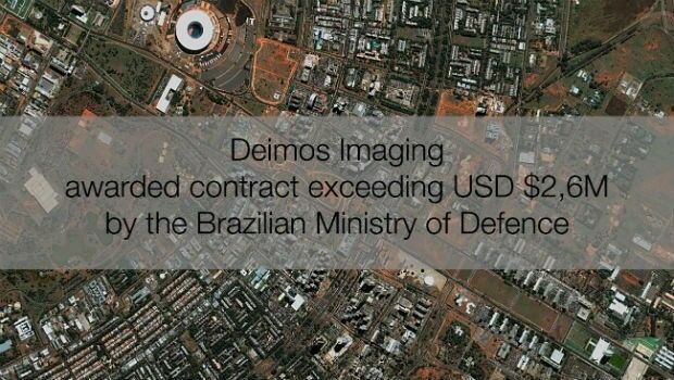
16th May 2018
Deimos Imaging awarded contract exceeding USD $2,6M by Brazilian MoD
16th May 2018
Augmented Reality Meets Europe’s GNSS Galileo
16th May 2018
Mapping, Charts, Aerial Imagery Available from East View Geospatial
16th May 2018
Carlson PhotoCapture to be presented at GEO Business 201816th May 2018
Swift Navigation Announces SBAS Support for Piksi Multi
16th May 2018
FREQUENTIS’ voice communication solution at airport control centre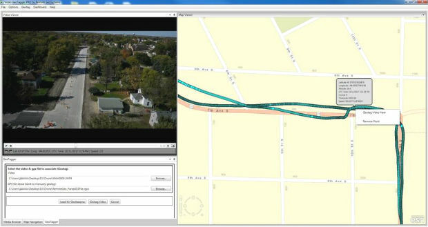
16th May 2018
Remote GeoSystems Releases All-New Video GeoTagger15th May 2018
Maptitude Mapping Software Donated to UTDallas GIS Workshop
15th May 2018
Comprehensive Education Featured at GIS-Pro & CalGIS 201815th May 2018
Bentley Systems, Inc. to Present at GEO Business Event in London
15th May 2018
Marex Spectron Announces Joint-Venture with Earth-i
15th May 2018
TWO German control centres select FREQUENTIS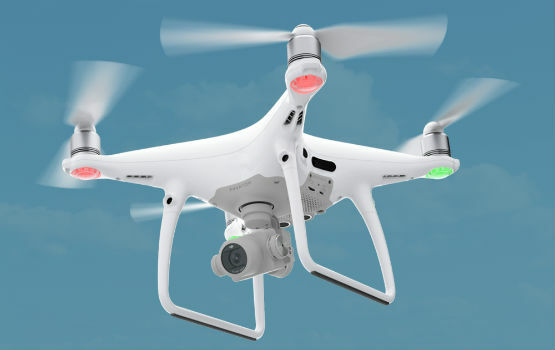
15th May 2018
SimActive Software Saving Hours for DJI Drone Surveys
14th May 2018
senseFly user conference aims to optimize drone operations14th May 2018
Airbus CyberSecurity brings its expertise to EU funded Brain-IoT Project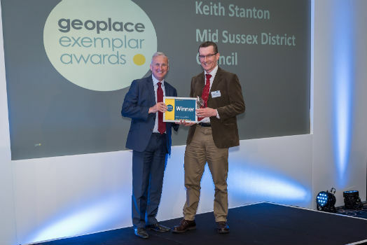
14th May 2018
GeoPlace announces winners of the 2018 Exemplar Awards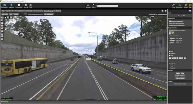
14th May 2018
Orbit GT 18.1.2 upgrade 3D Mapping Feature Extraction portfolio
14th May 2018
SphereVision Shows New 360 Imaging Tech at GEO Business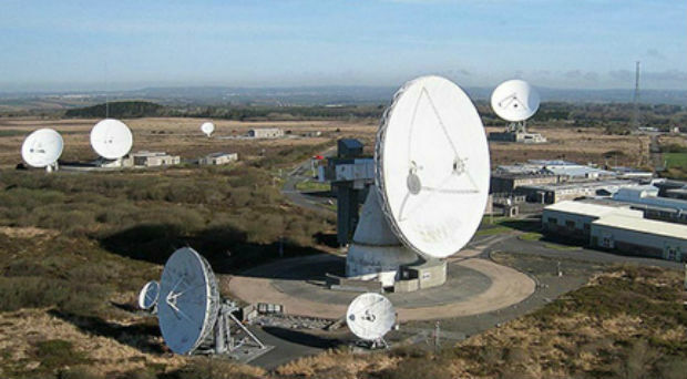
14th May 2018
Goonhilly lands £24m investment enabling global expansion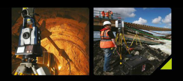
11th May 2018
Instrumentation at the Heart of Monitoring Solutions at GEO Business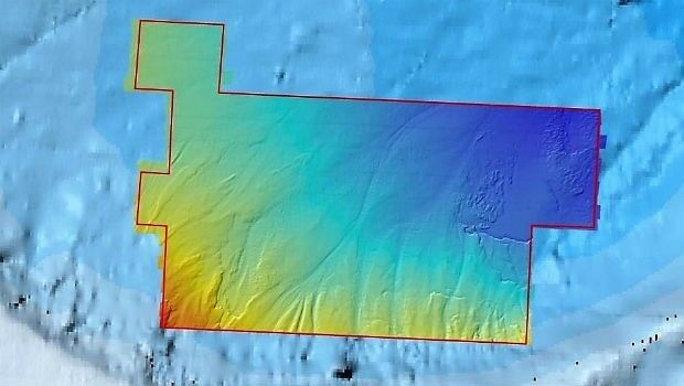
11th May 2018
Fugro Reports Successful Licensing Of Seep And Geochemical Data
11th May 2018
GEO Business set to break records in just over a week
11th May 2018
GEO Business set to break records in just over a week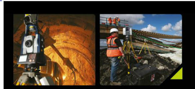
10th May 2018
Laser Scanning: the 21st Century Tool of Choice at GEO Business 201810th May 2018
Pitney Bowes Re-engineers Desktop Mapping & Location Intelligence
10th May 2018
CSA Implements Innovative Technology for Tracing Sewage Outfalls