
SSTL awards Launch Services Agreement to Firefly Aerospace
5th June 2018
SSTL awards Launch Services Agreement to Firefly AerospaceThe compilation, reproduction and dissemination of maps and charts by means of manual (analogue) or digital techniques, tools and workflows. This topic covers the compilation, reproduction, dissemination and use of both analogue (paper) and digital maps, charts and atlases. As well as the science of cartography, including georeferencing and geocoding, digital techniques for compiling and generating various types of raster and vector maps and charts are covered, as are the digital mapping tools and Geographic Information Systems available for this purpose. The application of cartography for aeronautical, terrestrial and marine purposes is also covered
5th June 2018
SSTL awards Launch Services Agreement to Firefly Aerospace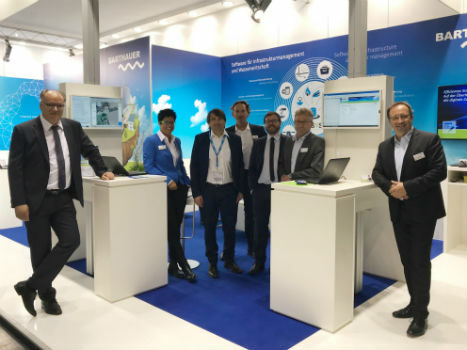
4th June 2018
BARTHAUER at IFAT: a successful event with effective know-how transfer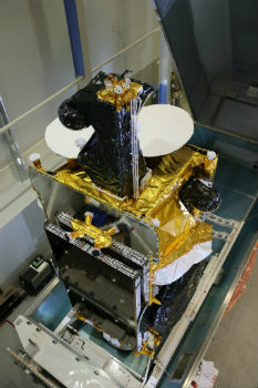
4th June 2018
Airbus-built SES-12 dual-mission satellite successfully launched
4th June 2018
Cyberbit, Raises $30 Million from Claridge Israel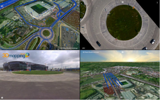
4th June 2018
Orbit GT releases upgrade of 3D Mapping Cloud SaaS platform1st June 2018
Piloting the world’s largest short sea RoRo vessel into Dublin Port1st June 2018
Fugro’s leadership in advancing global ocean mapping1st June 2018
UK BIM Alliance Publish Constructing Plain Language Charter
31st May 2018
OGC announce creation of regional Canada Forum on Geospatial Standards31st May 2018
Record breaking numbers for the largest geospatial event in the UK
31st May 2018
Stericycle Selects Surecam Connected Vehicle Cameras31st May 2018
Merrick Releases Version 2018 MARS® Software Suite
_.jpg)
31st May 2018
Elbit Systems Subsidiary in Canada Awarded a Contract in South Korea31st May 2018
Pointfuse Unlocks ‘As Built’ Data with Autodesk Integration
31st May 2018
Business Geografic creates a subsidiary in Montreal, Canada31st May 2018
The smart city at INTERGEO – discover the urban future
31st May 2018
ATrack 4G LTE AK11 and AX11 Wins COMPUTEX TAIPEI Best Choice Award 2018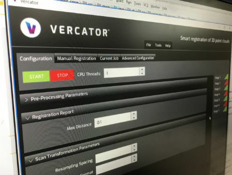
30th May 2018
Autodesk to showcase its BIM leadership at GEO|Design+BIM 2018
30th May 2018
Esri Announces Release of Sentinel-2 Image Services30th May 2018
RIEGL to Exhibit and Present at SPAR 3D Expo & Conference 2018!
29th May 2018
NavVis to present M6 indoor mobile mapping system at SPAR 3D
29th May 2018
GeoSLAM to Demo Fast, Easy and Versatile 3D Mobile Laser Scanning
29th May 2018
ABPmer welcomes Paul Clement as Oceanographic Survey Business Manager29th May 2018
Major GNSS project to boost potential for ‘satellite’ farming in Brazil
29th May 2018
JLT Mobile Computers Presents New Rugged Tablet and IT Solutions29th May 2018
Airbus wins major NATO communications system contract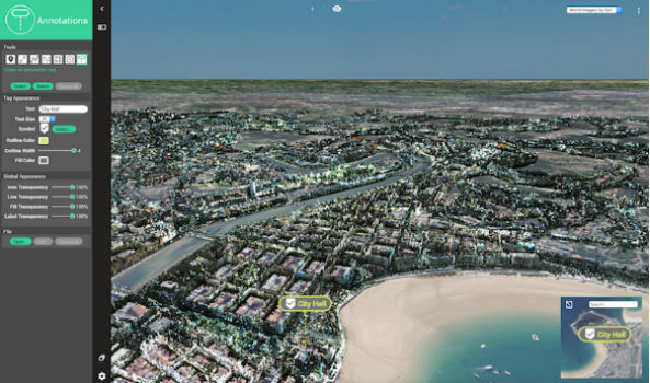
29th May 2018
Orbit GT exhibits and showcases newest 3D Mapping Portfolio29th May 2018
VSTEP introduces new Fishing module for its NAUTIS maritime simulators25th May 2018
Ordnance Survey announce rise in sales for both paper and digital OS Maps
25th May 2018
BARTHAUER and bluemetric agree on cooperation25th May 2018
Airbus teams up to develop Space CARBon Observatory (SCARBO)25th May 2018
Airbus-led FUSE-IT project awarded ITEA Award of Excellence25th May 2018
Take a leap into the exciting world of Hyperspectral Imaging24th May 2018
UK Hydrographic Office appoints Chief Technology Officer
24th May 2018
Elbit Systems to Display Advanced Solutions at CANSEC 201824th May 2018
Topcon system integrates with Volvo CE Dig Assist24th May 2018
Garmin® introduces the G3000H integrated flight deck
24th May 2018
SUN-AIR of Scandinavia A/S selects the G5000 integrated flight deck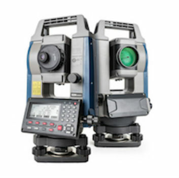
23rd May 2018
Sokkia introduces new high-performance manual total station23rd May 2018
Boundless Introduces New Lightweight, Portable, Offline Basemap Server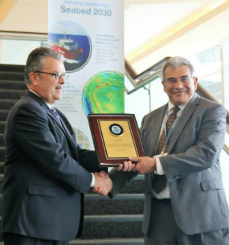
23rd May 2018
Fugro's Contribution To Global Ocean Mapping Earns NOAA Commendation23rd May 2018
Global Mapper Helps Aerial Filmworks, Win Pulitzer Prize
23rd May 2018
Workshop and Presentation Proposals Invited for 2019 GIS/CAMA
22nd May 2018
Satellite Image Shows Massive Royal Wedding Crowds