Cartography
The compilation, reproduction and dissemination of maps and charts by means of manual (analogue) or digital techniques, tools and workflows. This topic covers the compilation, reproduction, dissemination and use of both analogue (paper) and digital maps, charts and atlases. As well as the science of cartography, including georeferencing and geocoding, digital techniques for compiling and generating various types of raster and vector maps and charts are covered, as are the digital mapping tools and Geographic Information Systems available for this purpose. The application of cartography for aeronautical, terrestrial and marine purposes is also covered
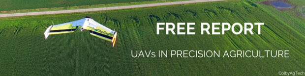
Free Report: UAVs in Precision Agriculture
30th March 2016
Free Report: UAVs in Precision Agriculture
Trimble Launches FieldPoint RTX Correction Service
30th March 2016
Trimble Launches FieldPoint RTX Correction Service
Commercial UAV Expo Issues Free Report: Surveying and Mapping with UAVs
29th March 2016
Commercial UAV Expo Issues Free Report: Surveying and Mapping with UAVs
what3words hires Steve Coast, founder of OpenStreetMap
29th March 2016
what3words hires Steve Coast, founder of OpenStreetMap
DMT successfully completes exploration seismic project in Munich
29th March 2016
DMT successfully completes exploration seismic project in Munich
Participate in the giCASES survey on collaboration in GIS&T education!
29th March 2016
Participate in the giCASES survey on collaboration in GIS&T education!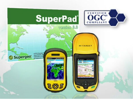
SuperPad Supports Environmental Management in the Philippines
29th March 2016
SuperPad Supports Environmental Management in the Philippines
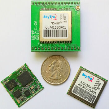
SkyTraq Launches Low-Cost Feature-Rich RTK Receiver
29th March 2016
SkyTraq Launches Low-Cost Feature-Rich RTK Receiver
Arrival of warships in Doha heralds start of DIMDEX 2016
29th March 2016
Arrival of warships in Doha heralds start of DIMDEX 2016
Autostrade Italy and Fugro Celebrate a 30-year Partnership
28th March 2016
Autostrade Italy and Fugro Celebrate a 30-year Partnership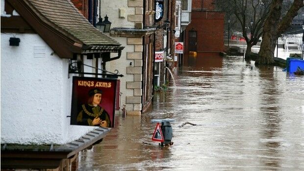
GeoSmart Trials a Pilot Groundwater Data Service
25th March 2016
GeoSmart Trials a Pilot Groundwater Data Service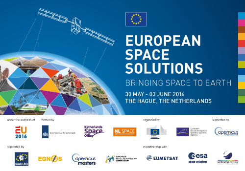
Space solutions for smarter mobility – 1-day workshop
25th March 2016
Space solutions for smarter mobility – 1-day workshop
Esri and USDA Forest Service Introduce Interactive Trove of Maps
24th March 2016
Esri and USDA Forest Service Introduce Interactive Trove of Maps

Greg Bentley, CEO of Bentley Systems, Inc to deliver keynote on 3D
24th March 2016
Greg Bentley, CEO of Bentley Systems, Inc to deliver keynote on 3D
ULA Atlas V Rocket lifts off with 3D Printed Parts
24th March 2016
ULA Atlas V Rocket lifts off with 3D Printed Parts
Trimble Seismic Navigation Systems for Geophysical Exploration
24th March 2016
Trimble Seismic Navigation Systems for Geophysical Exploration
Esri Events, Activities Meet Eligibility for AICP Certification
23rd March 2016
Esri Events, Activities Meet Eligibility for AICP Certification
Strong Support for Commercial UAV Expo 2016
23rd March 2016
Strong Support for Commercial UAV Expo 2016
World Aviation Safety Summit to take place in Dubai this April
23rd March 2016
World Aviation Safety Summit to take place in Dubai this April
Geotab announces the expansion of fleet management capabilities
23rd March 2016
Geotab announces the expansion of fleet management capabilities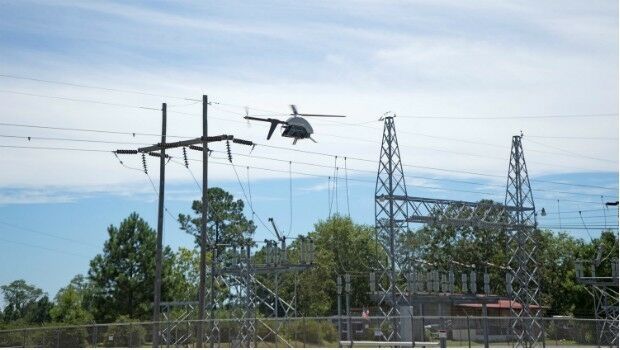
Launch Of Utility Training Academy For Unmanned Aerial Systems
23rd March 2016
Launch Of Utility Training Academy For Unmanned Aerial Systems
Learn to Use the Esri Collector for ArcGIS App
23rd March 2016
Learn to Use the Esri Collector for ArcGIS App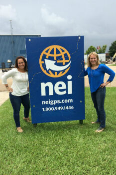
EBTM awarded Social Media Contract with Navigation Electronics Inc
23rd March 2016
EBTM awarded Social Media Contract with Navigation Electronics Inc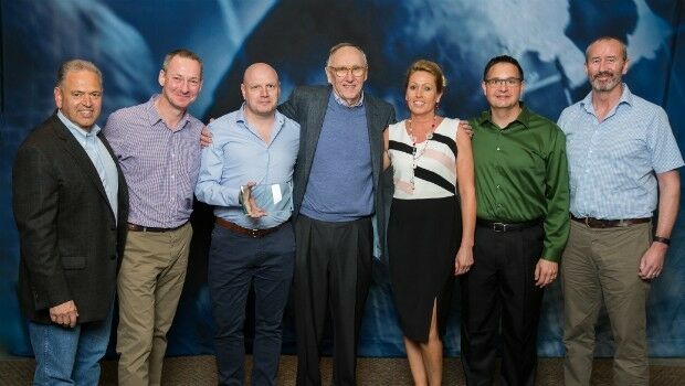
Exprodat Wins Esri Award at Business Partner Conference 2016
23rd March 2016
Exprodat Wins Esri Award at Business Partner Conference 2016
Ben Nevis gains a metre thanks to GPS height measurement
23rd March 2016
Ben Nevis gains a metre thanks to GPS height measurement
1Spatial’s FME Team Wins Two Awards at Safe Software Event
23rd March 2016
1Spatial’s FME Team Wins Two Awards at Safe Software Event
Topcon GNSS receivers chosen for large-scale Finland national network
23rd March 2016
Topcon GNSS receivers chosen for large-scale Finland national network
Fincantieri announced as the Diamond Sponsor of DIMDEX 2016
23rd March 2016
Fincantieri announced as the Diamond Sponsor of DIMDEX 2016
Learn to Use Multidimensional Scientific Data with ArcGIS Technology
22nd March 2016
Learn to Use Multidimensional Scientific Data with ArcGIS Technology
Airbus Defence and Space to take part in 2016 Defnet exercise
22nd March 2016
Airbus Defence and Space to take part in 2016 Defnet exercise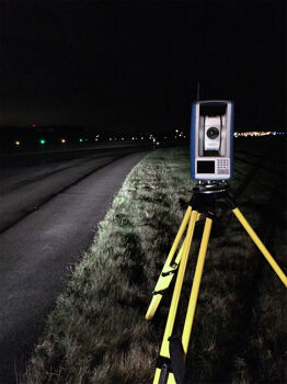
FOCUS 35 Shines in Nighttime Topographic Survey
22nd March 2016
FOCUS 35 Shines in Nighttime Topographic Survey
Australian Motoring Clubs Select Hexagon Safety & Infrastructure
22nd March 2016
Australian Motoring Clubs Select Hexagon Safety & Infrastructure
Esri Showcases Smart Decision Making through GIS
22nd March 2016
Esri Showcases Smart Decision Making through GIS
UK Traffic Congestion 14% Worse Than Five Years Ago
22nd March 2016
UK Traffic Congestion 14% Worse Than Five Years Ago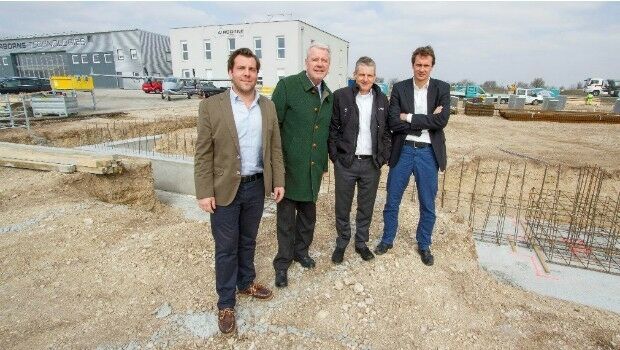
Ground-breaking ceremony at Airborne Technologies
22nd March 2016
Ground-breaking ceremony at Airborne Technologies
Airbus D&S instruments for James Webb Space Telescope get thumbs-up
22nd March 2016
Airbus D&S instruments for James Webb Space Telescope get thumbs-up
GeoFIT Americas Adopts SimActive’s Correlator3D™ for UAVs
22nd March 2016
GeoFIT Americas Adopts SimActive’s Correlator3D™ for UAVs
EARSC is now a GEO Participating Organization!
22nd March 2016
EARSC is now a GEO Participating Organization!
Advanced Wave Processing for OceanWise’s Port-Log
22nd March 2016
Advanced Wave Processing for OceanWise’s Port-Log
GeoSmart wins Geovation Challenge for Sustainable Catchments
22nd March 2016
GeoSmart wins Geovation Challenge for Sustainable Catchments
Dassault Systèmes to Develop Smart Facility Solution
22nd March 2016
Dassault Systèmes to Develop Smart Facility Solution