
PCI Geomatics Releases Geomatica Software Update
8th February 2018
PCI Geomatics Releases Geomatica Software UpdateAerial imaging is revolutionizing the way we capture, analyze, and utilize geospatial data. Using high-resolution aerial photography and remote sensing technologies, it provides accurate and detailed visual information essential for mapping, environmental monitoring, infrastructure planning, and disaster response.
Modern aerial imaging solutions include manned aircraft, UAVs (drones), and satellite-based systems equipped with advanced sensors such as LiDAR, multispectral, and hyperspectral cameras. These technologies enable high-precision mapping, 3D terrain modeling, change detection, and real-time geospatial analysis, supporting industries such as urban planning, agriculture, forestry, defense, and construction.
With cloud-based processing, AI-powered image analysis, and real-time data streaming, aerial imaging continues to advance, offering faster, more accurate, and scalable solutions for GIS professionals and decision-makers.
GeoConnexion provides the latest insights on aerial imaging trends, innovations, and applications, helping professionals leverage aerial data for better spatial intelligence and operational efficiency.
8th February 2018
PCI Geomatics Releases Geomatica Software Update
8th February 2018
CyArk and Phase One Partner to Preserve the World’s Cultural Heritage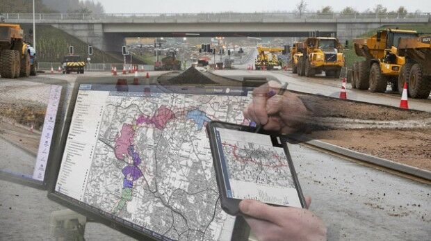
8th February 2018
thinkWhere Online Mapper Connects Aberdeen Bypass Project2nd February 2018
PCI Geomatics Releases GXL 2017, Service Pack 12nd February 2018
SSTL and 21AT announce new Earth Observation Capacity Contract2nd February 2018
Blue Marble to Showcase Global Mapper's Pixels-to-Points™ Tool
1st February 2018
Reach for the stars with Drone Major Group
1st February 2018
EarthSense Systems Appoints Thomas Hall as Managing Director31st January 2018
Space Flight Laboratory Highlights 20 Years of Microspace Achievements31st January 2018
Bluesky Aerial Photomaps Help Monitor Coastal Erosion25th January 2018
SSE Chooses Martek Aviation to Inspect 683 Wind Turbines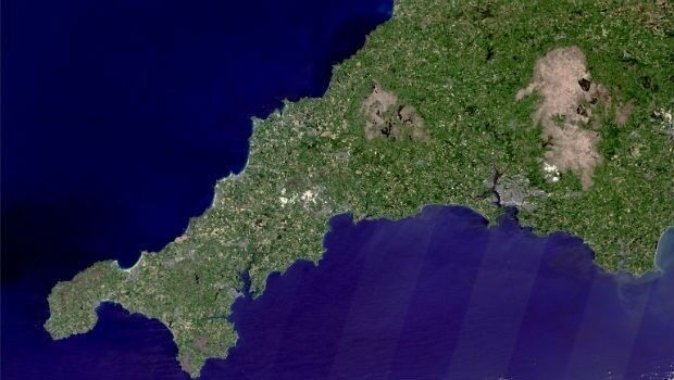
25th January 2018
Prospecting for Lithium in Cornwall from Space24th January 2018
Belgocontrol selects Unifly to develop digital platforms for drone users
23rd January 2018
Commercial UAV Expo Europe is moving to Amsterdam this year.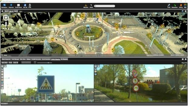
23rd January 2018
Orbit GT exhibits and showcases Feature Extraction Pro at ILMF, Denver23rd January 2018
Bluesky Remote Sensing Data Improves Efficiency for WSP17th January 2018
EARSC and AGI sign memorandum of understanding16th January 2018
New Dealer in Australia and New Zealand Announcement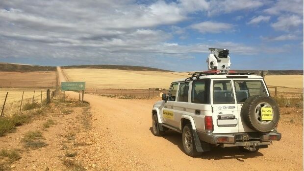
16th January 2018
Getmapping launches Mobile Mapping Survey Solutions to southern Africa16th January 2018
South Korea Agency for Defense Development Selects SimActive
11th January 2018
Bluesky LiDAR Helps Wiltshire Council Tackle Flooding Risk
11th January 2018
RIMS receiving class approval from Lloyd’s Register10th January 2018
EarthSense Sensors Evidence Clean Air Initiatives for BBC
9th January 2018
Developing Data Ecosystems with the 1Spatial FME World Tour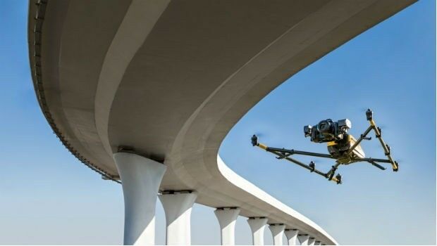
9th January 2018
Texo DSI First To Use Topcon Falcon 8+ UAV System In The UK5th January 2018
9th IGRSM International Conference and Exhibition
22nd December 2017
Unlock Information from Imagery for Use in Maps and Analysis
20th December 2017
Airbus delivered GOCI-II instrument to the Korean space agency
18th December 2017
A year of progress for commercial drone industry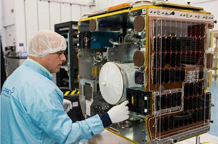
18th December 2017
SSTL ships RemoveDEBRIS mission for ISS launch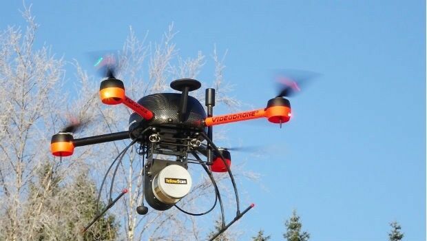
16th December 2017
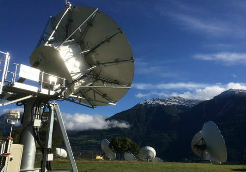
EUMETSAT takes ownership of two MTG ground stations13th December 2017
Bluesky Aerial Photos Help Darlington Council Map out Economic Growth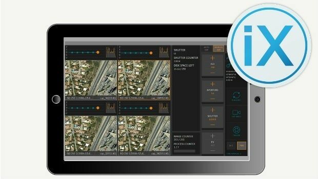
13th December 2017
Phase One Releases iX Capture 3.0 Software for Aerial Photography
6th December 2017
GeoPlace Recognised As An Investor In People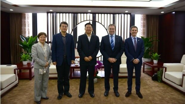
4th December 2017
UrtheCast and Beijing Space View Technology sign Strategic Agreement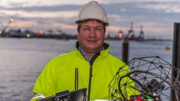
30th November 2017
RIMS BV: external specialist for use of drones during surveys30th November 2017
EarthSense Releases New Nationwide Map of Air Pollution30th November 2017
Cityworks Announces Release of Performance Budgeting 1.0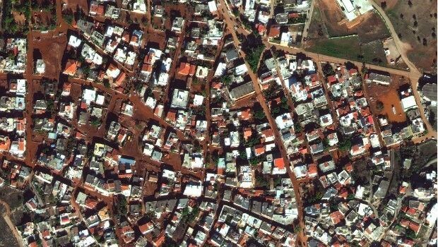
28th November 2017
Satellite Images of West Attica Flood Help Government Response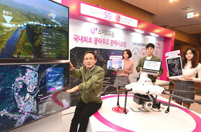
27th November 2017
Terra Drone And LG U+ Put UTM System Into South Korea
27th November 2017
SSTL confirms Sarah Parker’s appointment as MD