Orbit GT and Nordic GeoCenter, Finland, sign Reseller Agreement
4th September 2017
Orbit GT and Nordic GeoCenter, Finland, sign Reseller AgreementAerial imaging is revolutionizing the way we capture, analyze, and utilize geospatial data. Using high-resolution aerial photography and remote sensing technologies, it provides accurate and detailed visual information essential for mapping, environmental monitoring, infrastructure planning, and disaster response.
Modern aerial imaging solutions include manned aircraft, UAVs (drones), and satellite-based systems equipped with advanced sensors such as LiDAR, multispectral, and hyperspectral cameras. These technologies enable high-precision mapping, 3D terrain modeling, change detection, and real-time geospatial analysis, supporting industries such as urban planning, agriculture, forestry, defense, and construction.
With cloud-based processing, AI-powered image analysis, and real-time data streaming, aerial imaging continues to advance, offering faster, more accurate, and scalable solutions for GIS professionals and decision-makers.
GeoConnexion provides the latest insights on aerial imaging trends, innovations, and applications, helping professionals leverage aerial data for better spatial intelligence and operational efficiency.
4th September 2017
Orbit GT and Nordic GeoCenter, Finland, sign Reseller Agreement
2nd September 2017
Qelzal Starts Flight Safety Testing of Autonomous Vision Sensor System
1st September 2017
National agency will double Australia's space industry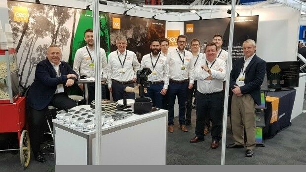
31st August 2017
Record six months for GeoSLAM thanks to boom in "Digital Engineering"
31st August 2017
Yotta Releases its Alloy Connected Asset Management Platform
31st August 2017
Bureau Veritas releases new rules for offshore service vessels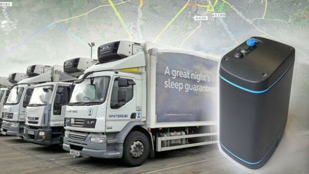
31st August 2017
EarthSense to Provide Real Time Air Quality Monitoring for Low Emission Lorry Trial
30th August 2017
Hydracos Selects SuperPad for Water Utility Inspection29th August 2017
Integrated Drone Multispectral Mapping Solution for Agriculture28th August 2017
SPOT 6/7 imagery for improved efficiency of US agriculture26th August 2017
Terra Drone is to release Terra Mapper a new image processing software

23rd August 2017
Multiple senseFly drones added to the list of compliant systems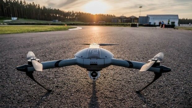
22nd August 2017
Atlas Dynamics to Launch Autonomous Professional Drone System
22nd August 2017
1Spatial grows its team of Safe Software FME Certified Trainers11th August 2017
Drone based LiDAR for Aberystwyth University global research

10th August 2017
3D Repo’s VR Simulator Helps TRL Shape Autonomous Vehicles Services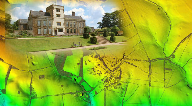
9th August 2017
Bluesky LiDAR Helps ArcHeritage Reveal Hidden Treasures
4th August 2017
3DR Site Scan processing now powered by Pix4D
28th July 2017
UAS Mapping Certification Program at Commercial UAV Expo 2017
27th July 2017
Bluesky Aerial Photography Helps Yorkshire Water Keep an Eye on Assets
27th July 2017
Icaros and TeAx Announce an Integrated Drone Mapping Solution26th July 2017
DroneMapper Chooses Global Mapper for UAV Imagery Processing
25th July 2017
1Spatial Awarded Safe Software’s Top Partner Award 2016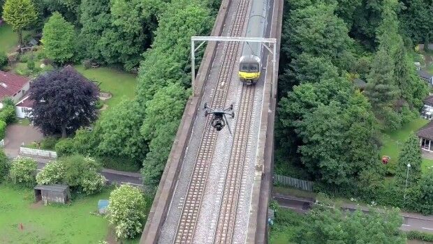
24th July 2017
Plowman Craven Launches Vogel R3D Rail Survey System
24th July 2017
FLIR Releases FLIR Blackfly S GigE Machine Vision Camera Family20th July 2017
Minister backs continued UK role in Europe’s Copernicus programme
13th July 2017
Bluesky Launches Nationwide Map of Building Heights
12th July 2017
8th BaSYS User Conference with record number of participants
12th July 2017
Martek UAS announce ‘Gareth Knowles’ as the first UAS Strategist
7th July 2017
Carbomap Ready to Map the World with Advanced LiDAR on Fixed-Wing UAV5th July 2017
LafargeHolcim Cements Relationship with Maxoptra Route Planning5th July 2017
Sentinel-3 OLCI and SLSTR Level 2 Products now fully operational
5th July 2017
Understanding large-scale plant health with Satellite Data4th July 2017
Copernicus App Lab is open for registration30th June 2017
Commonplace and Waltham Forest win best stakeholder engagement Award29th June 2017
Dairy farmers to benefit from satellite data29th June 2017
CompassDrone™ to Demo Integration of DJI Video with ArcGIS29th June 2017
Scientists investigate link between air pollution and type 2 diabetes28th June 2017
senseFly brings drone education to Esri User Conference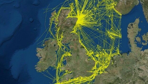
28th June 2017
View the new UK 2015 national dataset of marine vessel traffic28th June 2017
Remote sensing technologies key to the future of the oil palm industry23rd June 2017
Precision Capture and QuestUAV Form Strategic Partnership