
MWH Treatment uses 3D Building Models from Bluesky to Drive Innovation in Water Sector
19th September 2023
MWH Treatment uses 3D Building Models from Bluesky to Drive Innovation in Water SectorNews as it happens! Keep in touch with the latest developments in business and technology in the regions or worldwide.
19th September 2023
MWH Treatment uses 3D Building Models from Bluesky to Drive Innovation in Water Sector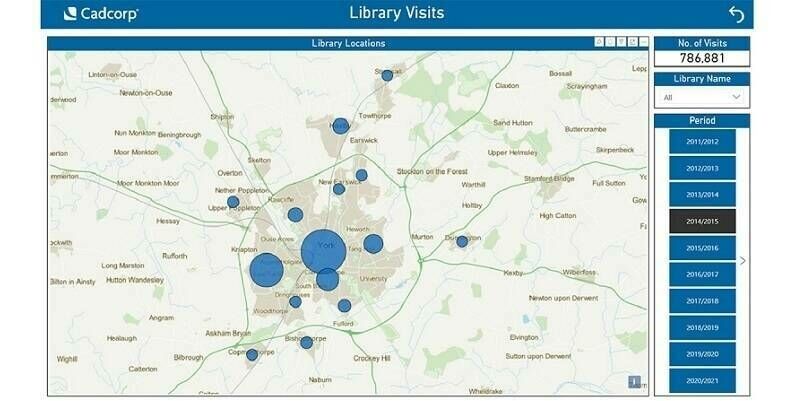
18th September 2023
Cadcorp supports customers in gaining deeper insight from data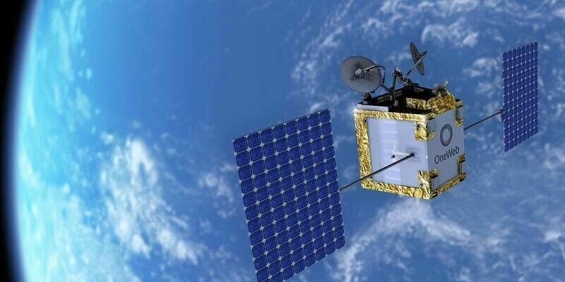
18th September 2023
New Person-Portable Terminal To Provide Satellite Connectivity To Tactical Edge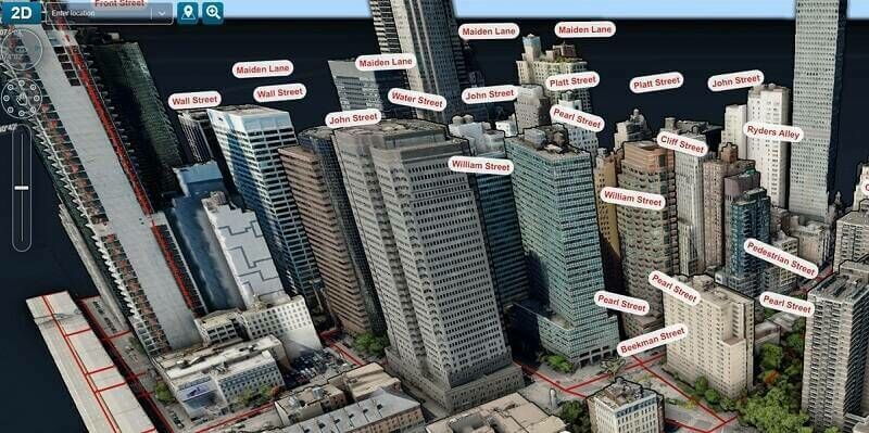

15th September 2023
Rob Rainhart Named President of HawkEye 360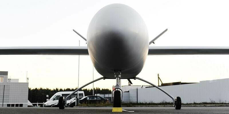
14th September 2023
UAVOS Unveils Reinforced Main Landing Gear For Heavy-Lift Fixed- Wings Aircraft
14th September 2023
Astroscale France Appoints Philippe Blatt as Managing Director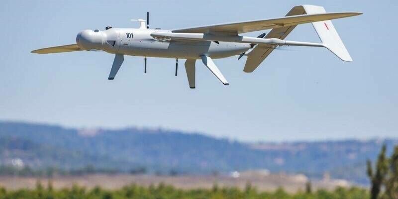
13th September 2023
Elbit Systems to Supply the Advanced Skylark mini UAS System to the IDF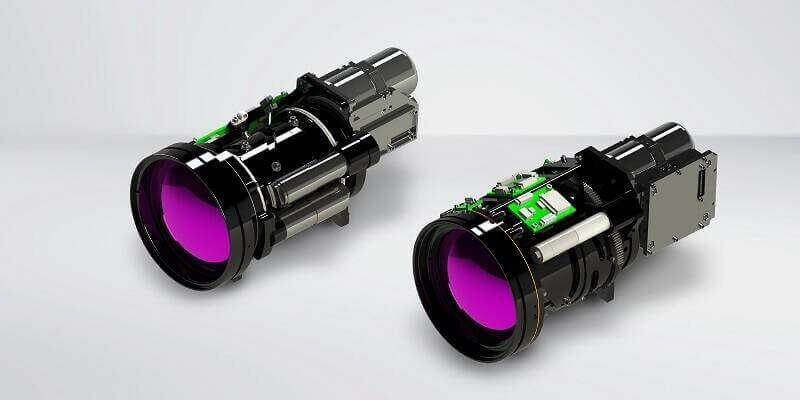
13th September 2023
Teledyne FLIR Expands Turnkey Neutrino Ground ISR Series for Integrators
12th September 2023
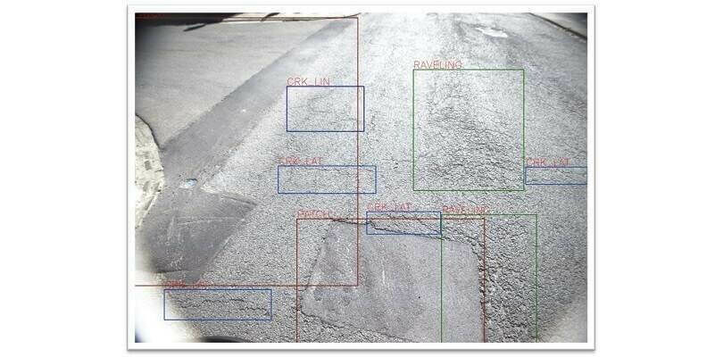
XenomatiX extends its road scanning capabilities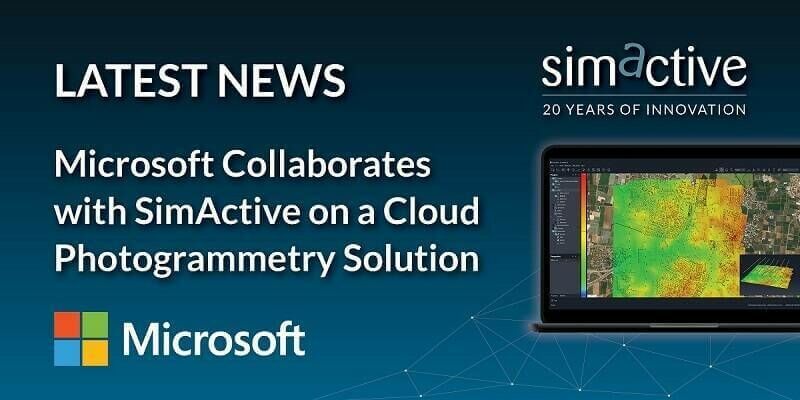
11th September 2023
Microsoft Collaborates with SimActive on a Cloud Photogrammetry Solution
11th September 2023
German Start-up Rasdaman GmbH and Airbus Defence and Space Team Up on Datacubes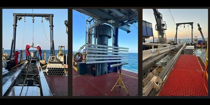
8th September 2023
TDI-Brooks Completes Phase Four Geotechnical Program In The Black Sea
8th September 2023
Fugro’s Geo-data drives smart road maintenance strategies in South Carolina
7th September 2023
World Hydrogen Week sees launch of world-first H2 derivative programme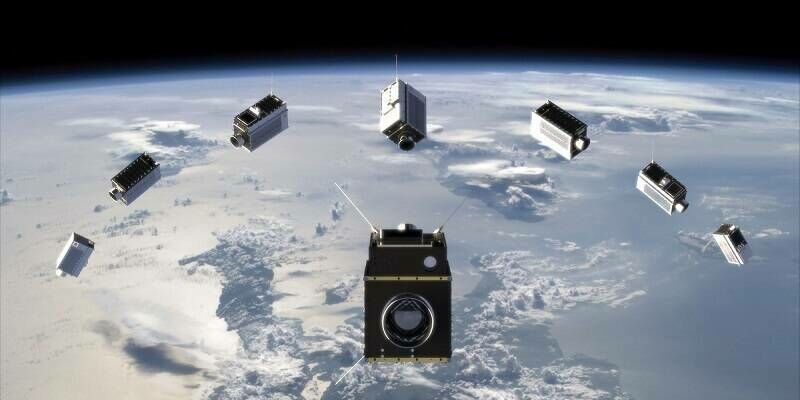
7th September 2023
Space Flight Laboratory (SFL) Announces Performance Milestone for GHGSat Greenhouse Gas Monitoring Microsatellites
7th September 2023
Bluesky 3D Imagery Brings Global Warming Sea Level Rises to Life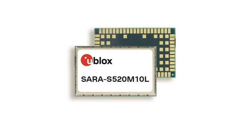
6th September 2023
u-blox introduces its first multi-mode cellular and satellite IoT module with embedded positioning
6th September 2023
EUSI Partners with Umbra to Offer SAR Imagery to European Remote Sensing Projects
5th September 2023
GIS People Introduces Free Educational eBook: Open-Source GIS vs Commercial GIS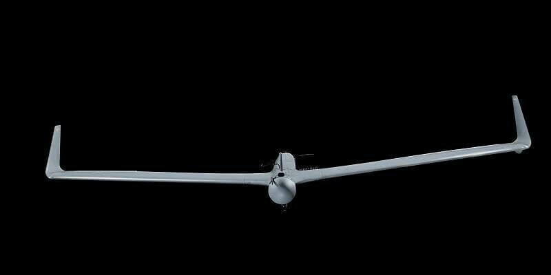
5th September 2023
Aeronautics Secures a $40M Contract to Supply its Orbiter 1K Loitering Munition UAS to an International Customer
4th September 2023
Hexagon reaches new heights with launch of BLK2FLY Autonomous Indoor Scanning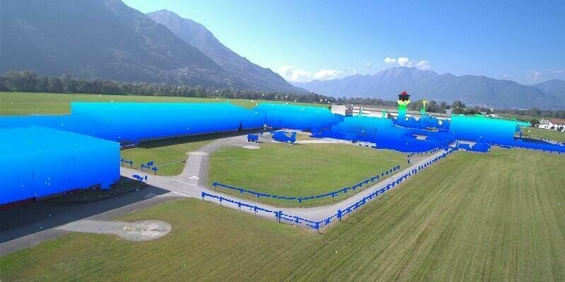
4th September 2023
LAKE FUSION Technologies and Innovusion Europe Partner for the Launch of a Cutting-Edge Situational Awareness System for Civilian Helicopters