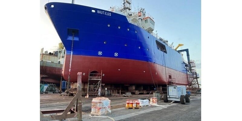
TDI-Brooks Increases Vessel Capacity And Welcomes R/V Nautilus
17th August 2023
TDI-Brooks Increases Vessel Capacity And Welcomes R/V NautilusNews as it happens! Keep in touch with the latest developments in business and technology in the regions or worldwide.
17th August 2023
TDI-Brooks Increases Vessel Capacity And Welcomes R/V Nautilus
16th August 2023
SimActive Used with Phase One Cameras for Precise Photogrammetry
16th August 2023
Data quality back on track and helping to deliver UK Sea Level Rise figures
15th August 2023
Handheld Group's Algiz 10XR Rugged Tablet Now Certified on Verizon 5G Networks
15th August 2023
Bentley Systems’ iTwin Ventures Acquires Blyncsy, Breakthrough Innovator in AI Services for Transportation Operations and Maintenance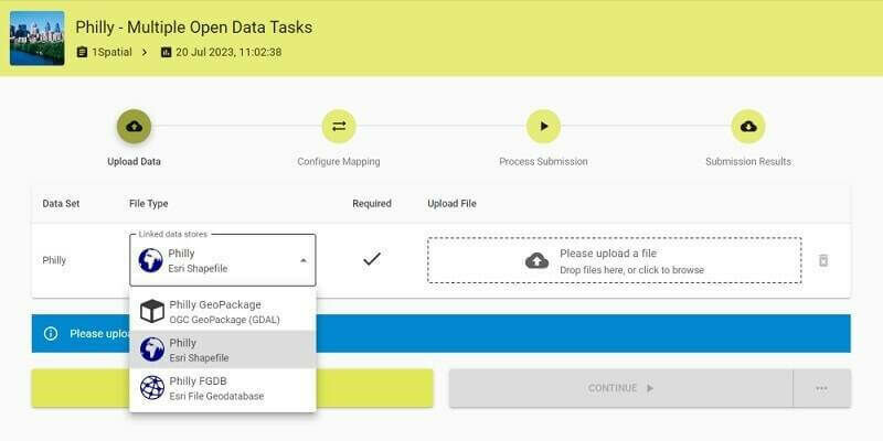
9th August 2023
Updated 1Spatial Platform provides Trusted Data Governance at any Scale
9th August 2023
Webinar Topic: Cameras on Drones and Aircraft: Is Bigger Always Better?
8th August 2023
Khronos Launches ANARI 1.0 as the Industry’s First Cross-Platform 3D Rendering Engine Open Standard API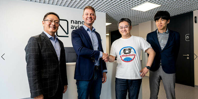
8th August 2023
Japan's research institute RIKEN, Mitsui Bussan Aerospace and NanoAvionics collaborate on launching the NinjaSat X-ray observatory
7th August 2023
Bluesky MetroVista 3D City Model Underpins Nottingham’s Digital Twin
7th August 2023
Explore a World of Opportunities: Join KOREC Group as a Geospatial Sales Consultant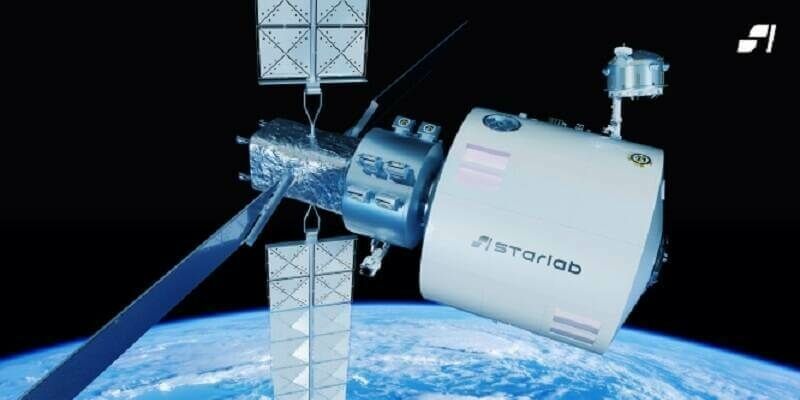
3rd August 2023
Voyager Space and Airbus Announce Joint Venture to Build and Operate Starlab
3rd August 2023
Geovation opens Accelerator Programme to Proptech and Geotech start-ups

2nd August 2023
FREQUENTIS transforms West Yorkshire Fire & Rescue Service with cloud-based mobilisation, communication, and incident solution
2nd August 2023
The Yurok Tribe and Condor Aviation Soaring to New Heights with RIEGL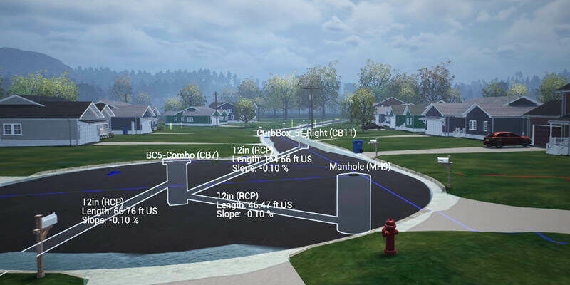
31st July 2023
Carlson Introduces STEM Video Game: Hydrology Engineer
31st July 2023
Astroscale Holdings Strengthens Global Board of Directors with Three Experienced Leaders

28th July 2023
Association for Geographic Information Announces GeoCom 23 Conference
28th July 2023
Trimble Dimensions to Kick Off with a High-Performance Keynote Speaker
27th July 2023
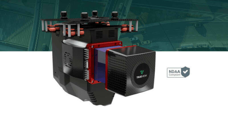
GeoCue Unveils Three New, High-End, TrueView 3D Imaging Systems
25th July 2023
Torus gains clear and compelling insights with Cloud GIS and web mapping