
New Topcon laser with mobile app display connectivity to bring improved productivity to today’s job sites
29th July 2020
New Topcon laser with mobile app display connectivity to bring improved productivity to today’s job sitesNews as it happens! Keep in touch with the latest developments in business and technology in the regions or worldwide.
29th July 2020
New Topcon laser with mobile app display connectivity to bring improved productivity to today’s job sites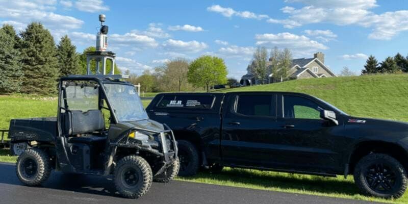
28th July 2020
Riegl Provides High Performance With 3d Laser Scanning Technology For Hlr
28th July 2020
Tallysman Introduces a line of embedded Full-band and Triple-band VeroStar GNSS Antennas
28th July 2020
Bluesky Expands Global Business with Travis Mayne Appointment28th July 2020
Space Flight Laboratory Announces New Line of Cost-Effective CubeSats to Expand its Current Satellite Offerings
27th July 2020
1Spatial announce the release of 1Data Gateway v2.1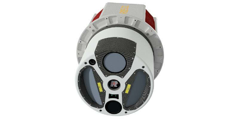
27th July 2020
Gpi Geospatial Expands Airborne Lidar Acquisition Services Through Addition Of Riegl Vq-1560 Ii Ultra High-Performance System
27th July 2020
SIBUR & G-Core Labs launched a universal AR service for the remote maintenance and repair of industrial equipment
27th July 2020
SimActive announces “How to Manage Photogrammetric Production During Peak Season” webinar
24th July 2020
10 Years Of Success With The Vmx: The Past Meets The Future- An Interview With An Early Mobile Scanner, Craig Sheriff
24th July 2020
Fugro completes Phase 1 of site investigation contract for Qatargas North Field
24th July 2020
UK MoD selects Esri UK as its Strategic Geospatial Partner24th July 2020
GeoCue’s True View Awarded ILMF “Outstanding Innovation in LIDAR”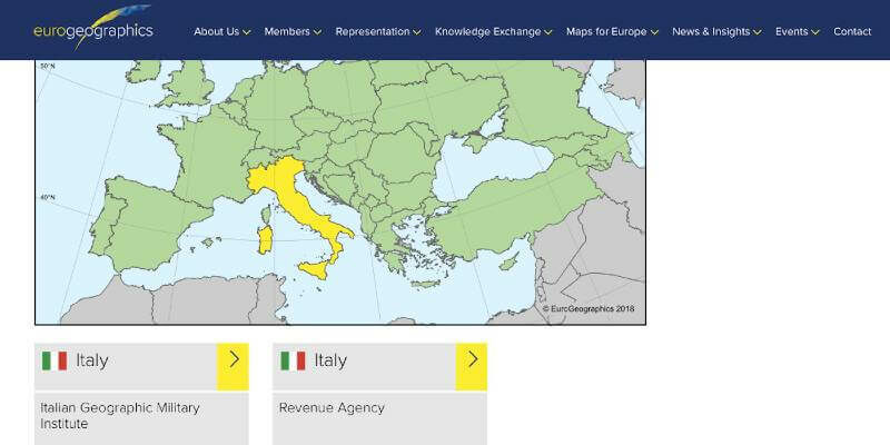
23rd July 2020
Online directory points way to national map, land registration and cadastral data from official sources

23rd July 2020
The Institute Of Navigation Announces The Ion Joint Navigation Conference (Jnc) 2020 Has Been Cancelled
23rd July 2020
Terrestrial Laser Scanning With Real-Time Data Analytics For Avalanche Forecasting
22nd July 2020
Ctrack And Maxoptra Join Forces To Deliver Telematics-Enabled Route Optimisation22nd July 2020
GMV hailed as southern Europe’s best service provider
22nd July 2020
Exactrak signs partnership agreement with Yotta to deliver enhanced vehicle tracking for UK local authorities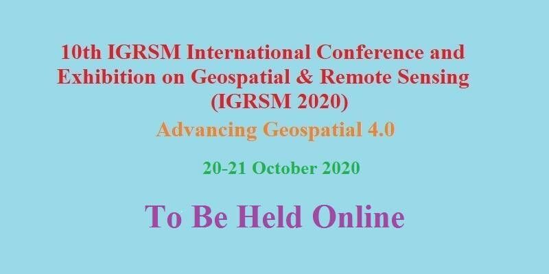
22nd July 2020
10th IGRSM International Conference and Exhibition on Geospatial & Remote Sensing (IGRSM 2020)21st July 2020
GMV leads development of ESA’s COVID-19 Space Hunting Platform21st July 2020
Terra Drone Indonesia Obtained the First Commercial BVLOS Permit in Indonesia21st July 2020
Military Space Situational Awareness 2020 Will Now Take Place as a Virtual Event