
Explore Riegl’s Broad Portfolio Of Point Cloud Samples In Potree
13th July 2020
Explore Riegl’s Broad Portfolio Of Point Cloud Samples In PotreeNews as it happens! Keep in touch with the latest developments in business and technology in the regions or worldwide.
13th July 2020
Explore Riegl’s Broad Portfolio Of Point Cloud Samples In Potree
13th July 2020
Artificial intelligence in the building pit: Georeferenced survey data via app
13th July 2020
The 2020 Recipient of the Arthur C. Lundahl-Thomas C. Finnie Lifetime Achievement Award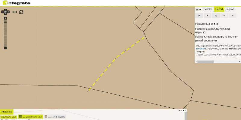
10th July 2020
1Spatial announce the release of 1Integrate v2.7
10th July 2020
Bentley Systems’ Acceleration Fund Announces the Launch of Virtuosity, a Bentley Company10th July 2020
Parrot and Hoverseen partner to offer drone-in-a-box surveillance and inspection solutions
10th July 2020
Bluesky Maps the Peak District National Park in Ultra-High Resolution from the Air
9th July 2020
Recordings Are Now Available For Riegl Ultimate Lidar June Webinar Series9th July 2020
Airbus Partnership Supports 4 Earth Intelligence Vision for Satellite Services
9th July 2020
ProStar Joins Trimble’s GIS Business Partner Program to Define the Next Generation of Utility Mapping
9th July 2020
Utility Cloud 2020 | 15-17 September, Virtual Conference
8th July 2020
Silicon Sensing’s inertial measurement technology to equip first small SAR satellite from iQPS Inc
8th July 2020
Brandt Completes Sokkia Canada Acquisition, Expands Position as #1 Geospatial Supplier
8th July 2020
Garmin Expands G1000 Nxi Integrated Flight Deck Upgrade Portfolio To Include The Embraer Phenom 300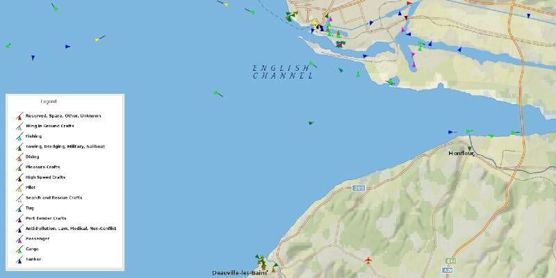
8th July 2020
UP42 Adds exactEarth Ship Tracking Data to Geospatial Marketplace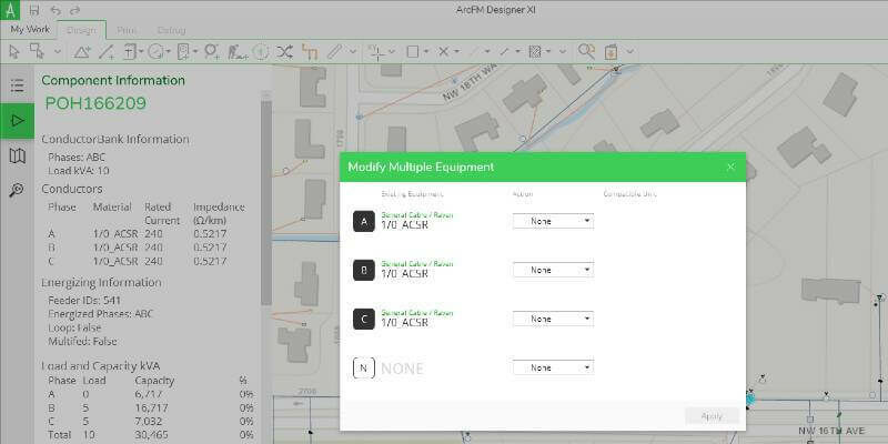
8th July 2020
Schneider Electric Announces ArcFM Designer 11.2.3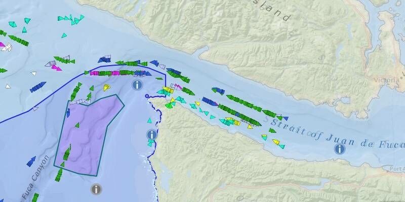
7th July 2020
exactEarth Announces $7.0 Million Expansion of Channel Partner Agreement
7th July 2020
SimActive Software Used for Oil and Gas Seismic Exploration7th July 2020
Parrot partners with AIRT’s Drones for Good and DRONERESPONDERS Public Safety UAS Programmes
7th July 2020
Tech Soft 3D Helps Fieldwire Rapidly Bring BIM Viewing to Its Construction Management Platform6th July 2020
East View Geospatial Offering PlanetSAT 2020 Global Imagery Basemap
6th July 2020
Intergeo 2020: 100 percent digital with a real network atmosphere
6th July 2020
TDI-Brooks Purchases First US-Based WINGHEAD System from Seahorse Geomatics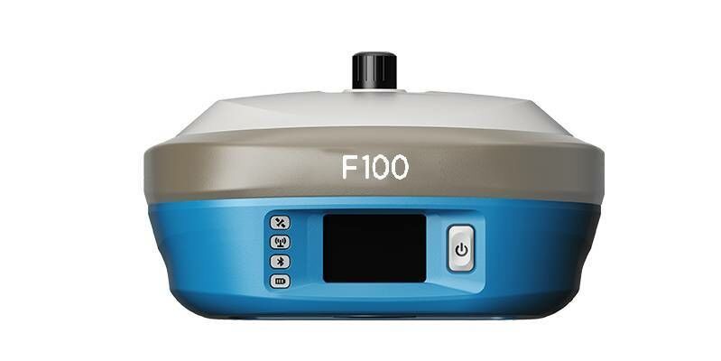
6th July 2020
Geneq Announces F100 the New Highly Integrated GNSS Receiver With a Multi-touch Screen