
ABPmer audit confirms clear focus on marine safety at Ilfracombe Harbour
5th August 2020
ABPmer audit confirms clear focus on marine safety at Ilfracombe HarbourNews as it happens! Keep in touch with the latest developments in business and technology in the regions or worldwide.
5th August 2020
ABPmer audit confirms clear focus on marine safety at Ilfracombe Harbour5th August 2020
Teledyne Optech introduces Galaxy CM2000 airborne lidar sensor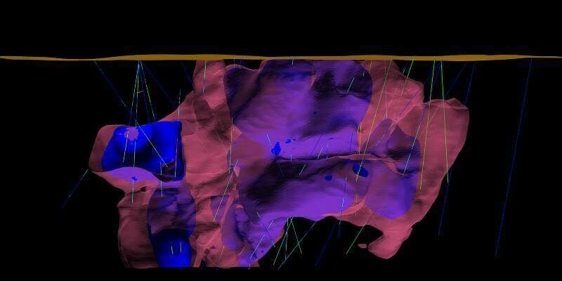
5th August 2020
Enhanced geology and mine design in Vulcan 2020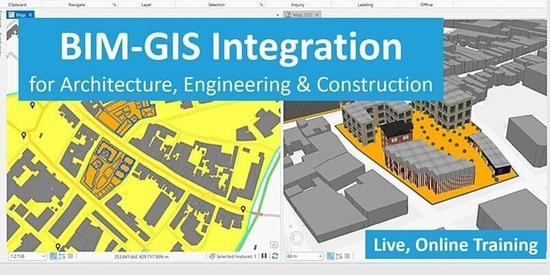
4th August 2020
BIM-GIS Integration for Architecture, Engineering & Construction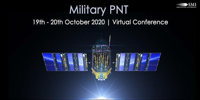
4th August 2020
Military PNT 2020 Will Now Take Place as a Virtual Conference4th August 2020
Unifly appoints new CEO to prepare for accelerated company growth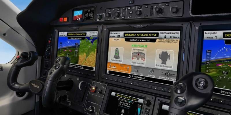
4th August 2020
Garmin Autoland Achieves Easa And Faa Certification On Daher Tbm 940
4th August 2020
Covid-19 – a catalyst for doing things differently
3rd August 2020
1Spatial releases new webinars and training courses3rd August 2020
New Space satellite pinpoints industrial methane emissions
3rd August 2020
BAE Systems Completes Acquisition of Military GPS Business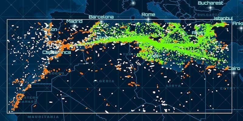
3rd August 2020
HawkEye 360 Launches Global Radio Signal Monitoring Subscription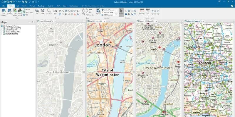
3rd August 2020
Cadcorp SIS 9 service release enables direct link to Ordnance Survey Data Hub
31st July 2020
AEC Next and SPAR 3D announce Call for Speakers for co-located 2021 event in Denver, CO
31st July 2020
Parrot, active participant in French Drone regulation
31st July 2020
Topcon’s MAGNET Drives Forward Norway’s Most Spectacular Construction Project - Connecting Five Islands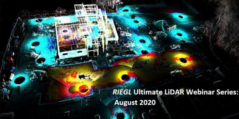
30th July 2020
Riegl’s Ultimate Lidar Webinar Series And More: August 2020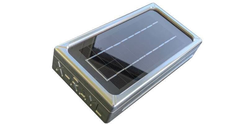
30th July 2020
DOT designs u-blox LTE Cat 1 module with 2G fallback into its ultra-robust solar telematics tracker30th July 2020
NavVis IndoorViewer 2.7: Taking the next step towards seamless virtual planning and communication
30th July 2020
1Spatial become a corporate member of DAMA UK29th July 2020
EVA and Unifly streamline the safe integration of drones from ground to sky29th July 2020
VSR700 prototype performs first autonomous free flight29th July 2020
Airbus Chief Nick Crew Joins 4 Earth Intelligence Satellite Services Board