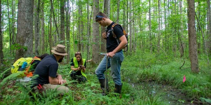
Ecobot Joins Trimble’s GIS Partner Program to Empower Environmental Regulatory Reporting
5th January 2021
Ecobot Joins Trimble’s GIS Partner Program to Empower Environmental Regulatory ReportingNews as it happens! Keep in touch with the latest developments in business and technology in the regions or worldwide.
5th January 2021
Ecobot Joins Trimble’s GIS Partner Program to Empower Environmental Regulatory Reporting
5th January 2021
Geneq Releases SXtab RTK, a New Rugged Tablet for Field Professionals4th January 2021
Ayres Acquires True View 620 3D Imaging System
4th January 2021
UP42 to Offer Smart Satellite Data from Australia’s LatConnect 60 on the UP42 Geospatial Marketplace
4th January 2021
1Spatial’s CPO elected to form OS Partner Advisory Council
29th December 2020
South Carolina Department of Transportation Selects Hexagon for Safety Management Solution
29th December 2020
Leica Geosystems announces new Leica Cyclone ENTERPRISE Project Management Hub
28th December 2020
Explore the Latest in Geospatial and GIS Technology During the AAG 2021 Annual Meeting
17th December 2020
Garmin announces exciting updates to the GTN Xi Series of navigators17th December 2020
Leica Geosystems introduces one app for all terrestrial laser scanning portfolio17th December 2020
UAVOS & TITRA Alpin Unmanned Helicopter Successful Flight in Turkey’s Sky
16th December 2020
GEO Business postponed until November 202116th December 2020
Bluesky Helps to Shape the Future of AI Systems with Turing Fellowship Funding
16th December 2020
Public comment sought on CityGML 3.0 Conceptual Model for storage and exchange of 3D city models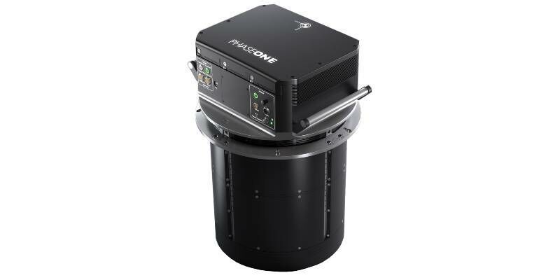
16th December 2020
Phase One Unveils PAS 880 Large-Format Nadir & Oblique Aerial Camera System
15th December 2020
Innovation in a Year Where Everything Changed
15th December 2020
Sercel Wins Second Saudi Mega-Crew Equipment Contract
15th December 2020
Kongsberg Geospatial Announces New Tactical UAS Sensor Data Management Solution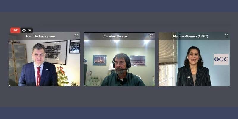
15th December 2020
Charles Heazel receives OGC’s 2020 Gardels Award14th December 2020
4EI Announces New UAE Managing Director, Allyson Jenkins
14th December 2020
Emlid Released ReachView 3: Native App for Reach Receivers14th December 2020
UAVLAS Developed Universal Solution for Precision & Safe Landing for UAVs