Satellite Imaging
Don't miss a beat, sign up to our newsletter
Space Flight Laboratory (SFL) at IAA Berlin
19th April 2017
Space Flight Laboratory (SFL) at IAA BerlinEarthCARE: Japanese Cloud Radar meets its spacecraft for first time
19th April 2017
EarthCARE: Japanese Cloud Radar meets its spacecraft for first time
MNSAT: IFGICT to work with KSF Space Mapping to protect environment
19th April 2017
MNSAT: IFGICT to work with KSF Space Mapping to protect environment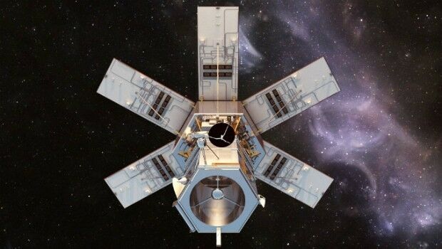
Distribution of WorldView-4 satellite imagery in Europe begins
18th April 2017
Distribution of WorldView-4 satellite imagery in Europe begins
Trumbull Unmanned Using SimActive for Emergency Response
18th April 2017
Trumbull Unmanned Using SimActive for Emergency Response
Global push for Earth observations continues
13th April 2017
Global push for Earth observations continues
Ecometrica lands on FT1000 list of Europe's fastest growing companies
12th April 2017
Ecometrica lands on FT1000 list of Europe's fastest growing companies
Cambridge Conference 2017 - Mapping Nations: The Next Decade
7th April 2017
Cambridge Conference 2017 - Mapping Nations: The Next DecadeExplore Great Britain with OS’s ultimate adventure planning tool
3rd April 2017
Explore Great Britain with OS’s ultimate adventure planning tool
Blue Marble Adds Flat Earth Support to Geographic Calculator
2nd April 2017
Blue Marble Adds Flat Earth Support to Geographic Calculator.jpg)
Airbus-built satellite SES-10 successfully launched
2nd April 2017
Airbus-built satellite SES-10 successfully launched
Earth-i Ready to Develop the Australian Earth Observation Marketplace
2nd April 2017
Earth-i Ready to Develop the Australian Earth Observation Marketplace
Airbus Defence and Space appoints four new Executive Committee members
27th March 2017
Airbus Defence and Space appoints four new Executive Committee members
TCarta Marine, DHI and DigitalGlobe to Unveil Bathymetric Data Portal
23rd March 2017
TCarta Marine, DHI and DigitalGlobe to Unveil Bathymetric Data PortalHigh-resolution satellite images made accessible to anyone
22nd March 2017
High-resolution satellite images made accessible to anyoneTerrabotics Joins the Geological Remote Sensing Group
21st March 2017
Terrabotics Joins the Geological Remote Sensing Group
Pressure mounts on Australian Government to launch space agency
21st March 2017
Pressure mounts on Australian Government to launch space agency
PAZ to extend Airbus radar satellite constellation
21st March 2017
PAZ to extend Airbus radar satellite constellation
Image Platform Bundles for Analysis, Management, and Analytics
18th March 2017
Image Platform Bundles for Analysis, Management, and Analytics
The Getech Group Delivers Insights into African Lakes from Space
16th March 2017
The Getech Group Delivers Insights into African Lakes from Space
First high-power all-electric EUTESAT 172B satellite shipped to Kourou
15th March 2017
First high-power all-electric EUTESAT 172B satellite shipped to KourouEsri President Jack Dangermond to Talk at ASPRS IGTF 2017
10th March 2017
Esri President Jack Dangermond to Talk at ASPRS IGTF 2017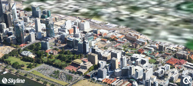
GeoXphere & Skyline collaboration accelerates 3D City Model production
9th March 2017
GeoXphere & Skyline collaboration accelerates 3D City Model production
GHGSat Satellite Deploys Headwall’s Micro-Hyperspec Imaging Sensor
9th March 2017
GHGSat Satellite Deploys Headwall’s Micro-Hyperspec Imaging Sensor
Intelsat General becomes Airbus channel partner
8th March 2017
Intelsat General becomes Airbus channel partner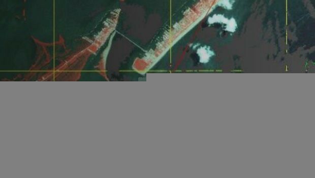
Disaster Response for the Gulf Oil Spill Webinar
8th March 2017
Disaster Response for the Gulf Oil Spill WebinarSecond ‘colour vision’ satellite for Copernicus launched
7th March 2017
Second ‘colour vision’ satellite for Copernicus launched
Getech To Demonstrate Technical Excellence
7th March 2017
Getech To Demonstrate Technical Excellence
Airbus boosts its capacity in the agricultural sector
3rd March 2017
Airbus boosts its capacity in the agricultural sectorHow low can you go? New project to bring satellites nearer to Earth
3rd March 2017
How low can you go? New project to bring satellites nearer to EarthNew Bathy DataBASE™, HIPS and SIPS™ released by Teledyne CARIS
3rd March 2017
New Bathy DataBASE™, HIPS and SIPS™ released by Teledyne CARISGAF to provide technical assistance to GMES & Africa Support Programme
1st March 2017
GAF to provide technical assistance to GMES & Africa Support Programme
Global Mapper LiDAR Module v18.1 Now Available
1st March 2017
Global Mapper LiDAR Module v18.1 Now AvailableBotswana Geoscience Portal serves up 2000 downloads
28th February 2017
Botswana Geoscience Portal serves up 2000 downloads
The First Lead’Air OCTOBLIQUE MIDAS in the USA, Purchased
28th February 2017
The First Lead’Air OCTOBLIQUE MIDAS in the USA, PurchasedLive stream of rare solar eclipse captures imaginations worldwide
28th February 2017
Live stream of rare solar eclipse captures imaginations worldwide
Airbus Partners with Bird.i for Access to Earth Observation Imagery
27th February 2017
Airbus Partners with Bird.i for Access to Earth Observation Imagery
MacDonald Dettwiler Buying DigitalGlobe for $2.4 Billion
26th February 2017
MacDonald Dettwiler Buying DigitalGlobe for $2.4 Billion