Copernicus Marine Hackathon Coding Event @EUMETSAT
9th June 2017
Copernicus Marine Hackathon Coding Event @EUMETSAT
9th June 2017
Copernicus Marine Hackathon Coding Event @EUMETSAT8th June 2017
Blue Marble Conducts Successful Global Mapper Training Class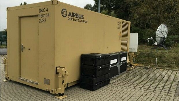
7th June 2017
Support communications at 15 sites worldwide provided to German troops6th June 2017
Will Space Exploration lead us to a Global Space Agency?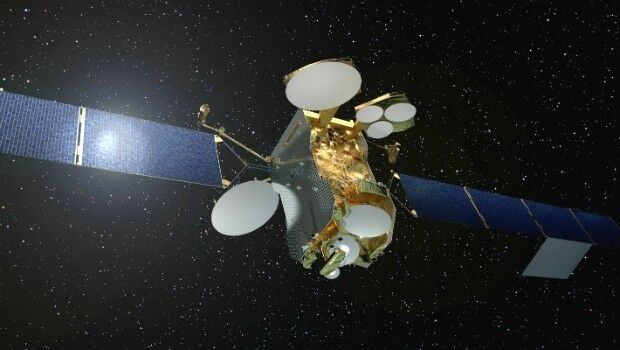
2nd June 2017
First high power all-electric satellite launched by Ariane 5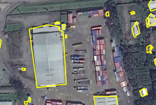
1st June 2017
Automated Feature Identification in Machine Learning Trials1st June 2017
exactEarth Broadens Small Vessel Tracking Offering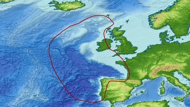
31st May 2017
Getech Brings Greater Insight to Both Sides of the North Atlantic31st May 2017
SpaceKnow with access to “One Atlas” for development of new analytics31st May 2017
IRS data now available free of charge to scientific users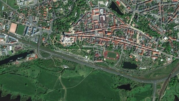
31st May 2017
WorldView-4 satellite imagery in 30cm resolution31st May 2017
exactEarth Launches Global Real-Time Vessel Tracking Service30th May 2017
Airbus Defence and Space launches “Global Earth Observation Challenge”30th May 2017
Plans For Europe’s First Commercial Video Satellite Constellation26th May 2017
Airbus and Scanex to feed Russia’s most popular search engine Yandex24th May 2017
Airbus further extends channel partner programme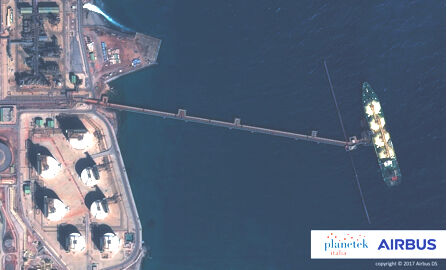
17th May 2017
Eni to utilize Earth Observation satellite data and services17th May 2017
Orbit GT and Vexcel Imaging, Austria update Gold Reseller status17th May 2017
Space Flight Laboratory (SFL) Signs Contract with Dubai Space Centre17th May 2017
Further Democratize GeoData and GeoServices Use for R&D17th May 2017
Thomas Pesquet's return to Earth after 6 months in space16th May 2017
EUMETSAT to host information day on crucial data access procurement
15th May 2017
New satellite hub lays groundwork for the future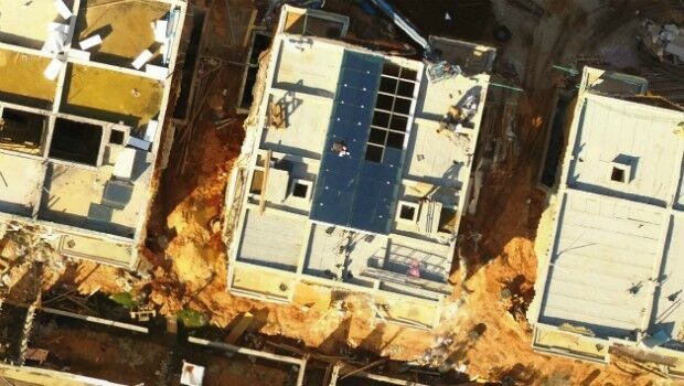
15th May 2017
Icaros Releases Ver 5.0 of OneButton™ Drone Image Processing Software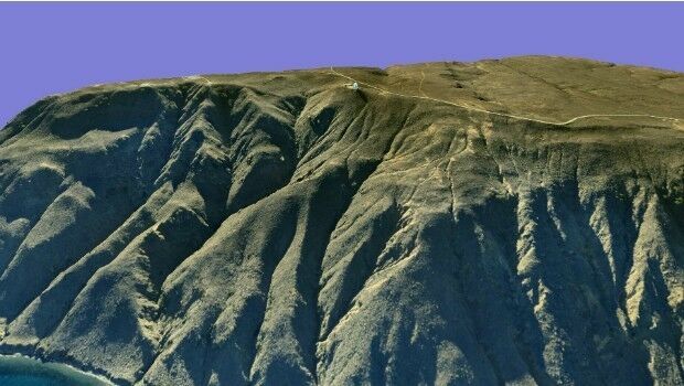
15th May 2017
AeroScientific Picture of the Month May 2017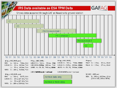
15th May 2017
IRS data now available free of charge to scientific users12th May 2017
Mobile Friendly Version of the GeoCalc Geodetic Registry Released11th May 2017
Inmarsat and Actility deploy city-wide Internet of Things network
10th May 2017
Duke of Edinburgh's Award Entrusts SPOT and Mapyx10th May 2017
Eni to utilize Earth Observation satellite data and services9th May 2017
European satellite technology maps storms, pollution and marine safety9th May 2017
PCI Geomatics Now a Planet Ecosystem Partner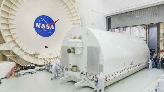
8th May 2017
exactEarth Announce Two-Year $1.45 Million Commercial Customer Renewal5th May 2017
PCI Geomatics to Present OBIA and InSAR Papers at ISRSE-373rd May 2017
A Triumph of Keynote Lectures to delve into Space Exploration3rd May 2017
Global Mapper and Geographic Calculator Free Academic License Program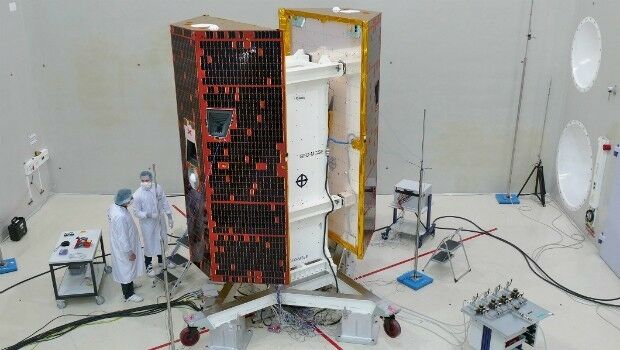
2nd May 2017
Kepler Award Nominations Now Being Accepted by ION Satellite Division2nd May 2017
Satellite Fleet Owner Joins The Geological Remote Sensing Group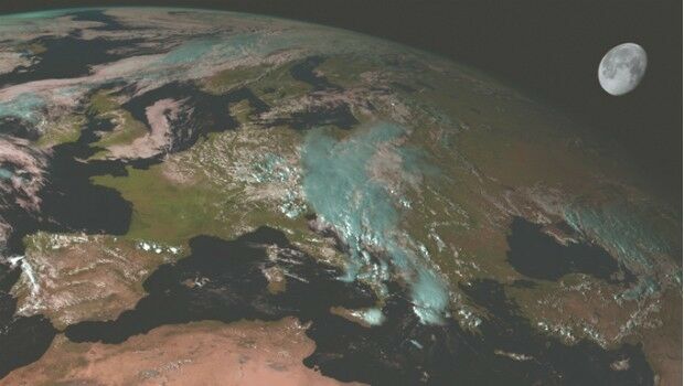
28th April 2017
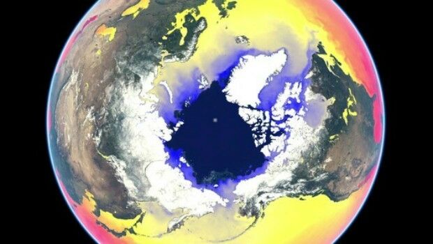
Scientists look to the Moon to better understand Earth’s climate27th April 2017
GAF and partners awarded contract to map European riparian zones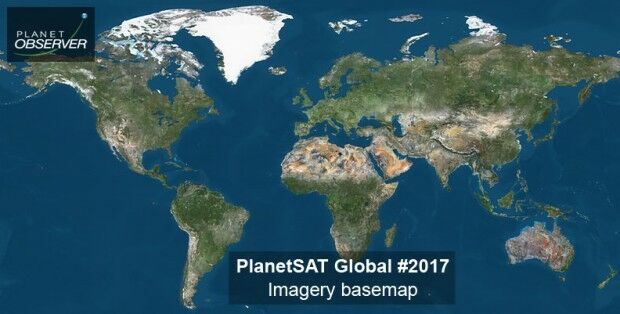
27th April 2017
PlanetObserver announces release of PlanetSAT Global imagery basemap