Global Mapper Certification Classes in Atlanta and Ottawa Announced
16th August 2017
Global Mapper Certification Classes in Atlanta and Ottawa Announced16th August 2017
Global Mapper Certification Classes in Atlanta and Ottawa Announced
15th August 2017
World’s polluters escape detection with outdated approach15th August 2017
Gold Sponsor of 17th International Scientific and Technical Conference11th August 2017
Drone based LiDAR for Aberystwyth University global research10th August 2017
Airbus completes MetOp-C platform/payload coupling9th August 2017
Strategic Education Alliance Agreement with Stellenbosch University8th August 2017
Skyline Software Systems Releases Photomesh 7.2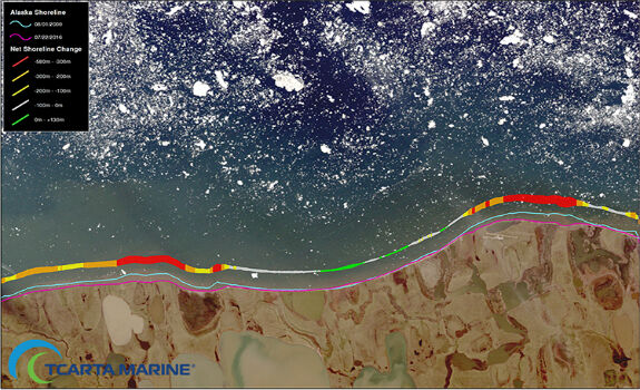
8th August 2017
TCarta Marine Changes the Way Dynamic Environments are Managed8th August 2017
Shingle B: the online tool helping protect and monitor shingle beaches
2nd August 2017
GAF AG Signs Distribution Partnership with Planet
2nd August 2017
Elbit Space Imaging Systems, JUPITER and VENµS Were Launched26th July 2017
DroneMapper Chooses Global Mapper for UAV Imagery Processing26th July 2017
PCI Geomatics to Celebrate 35 years in Business
25th July 2017
Shaping the future of spatial data management and analytics21st July 2017
Airbus built Sentinel-5 Precursor satellite ready for launch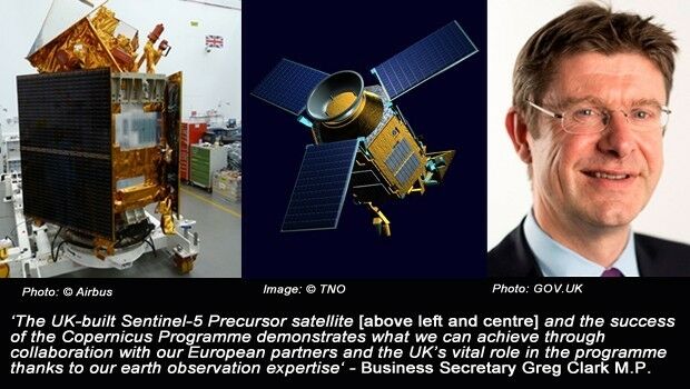
20th July 2017
Minister backs continued UK role in Europe’s Copernicus programme11th July 2017
ArcGIS 10.5 Enterprise Architecture Powers DigitalGlobe's Offerings11th July 2017
UrtheCast and Esri partner in bringing imagery to life in ArcGIS11th July 2017
Esri Adds Airbus Global Elevation Data to Online Maps11th July 2017
UK MoD to present Ministerial Address at Global MilSatCom 20176th July 2017
And the winners of the EARSC Awards 2017 are...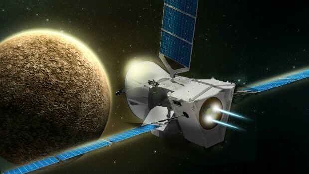
6th July 2017
BepiColombo - a four in one satellite to uncover Mercury´s mysteries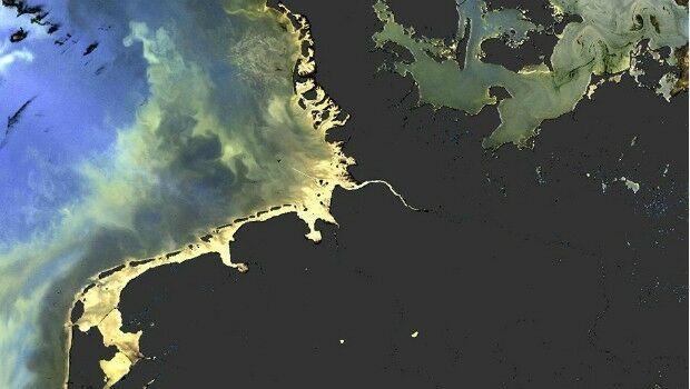
5th July 2017
Sentinel-3 OLCI and SLSTR Level 2 Products now fully operational
5th July 2017
Understanding large-scale plant health with Satellite Data4th July 2017
Copernicus App Lab is open for registration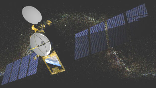

29th June 2017
Dairy farmers to benefit from satellite data28th June 2017
Remote sensing technologies key to the future of the oil palm industry27th June 2017
Assembly, Integration, and Test of OneWeb’s first satellites26th June 2017
Big success for first pan-European drone conference and trade fair
26th June 2017
Nine More Satellites in exactEarth's Real-Time Constellation Launched26th June 2017
Second Lockheed Martin GPS Satellite Assembled Ready for Testing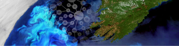
22nd June 2017
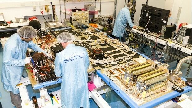
SSTL selected to build third batch of Galileo navigation payloads22nd June 2017
Airbus and partners launch ‘Starling’ satellite service20th June 2017
Digital image evaluation heading for new markets20th June 2017
Spanish Language Version of Global Mapper Now Available20th June 2017
PCI Geomatics to Present at Canadian EO Summit
15th June 2017
Infrared detector in 15-micron pitch for space observation programs
_DLR_e.jpg)
14th June 2017
10 years of precision and reliability of TerraSAR-X satellite13th June 2017
Korea Meteorological Administration hosts 45th CGMS meeting