
The Colorado School of Mines and MICROMINE form Partnership
1st June 2016
The Colorado School of Mines and MICROMINE form Partnership1st June 2016
The Colorado School of Mines and MICROMINE form Partnership1st June 2016
Learn to Start Working with ArcGIS Earth from Esri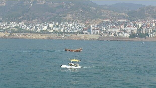
31st May 2016
SeaRobotics Delivers Bathymetric Unmanned Surface Vehicles to China.jpg)
31st May 2016
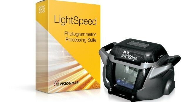
Unique Mapping Solution from ScientificAerospace and DroneMetrex30th May 2016
Gexcel at the 3D Faro User Conference Asia Pacific 201627th May 2016
FARO® announces the release of PointSense & VirtuSurv 17.0
27th May 2016
Juniper Systems Announces New Windows 10 Rugged Tablet: Mesa 2™
26th May 2016
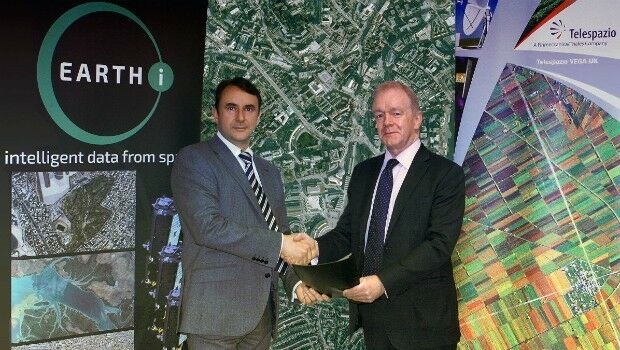
Earth-i and Telespazio Vega Sign Memorandum of Understanding26th May 2016
Esri's Marcella Cavallaro to Lead DATA Act Discussion Panel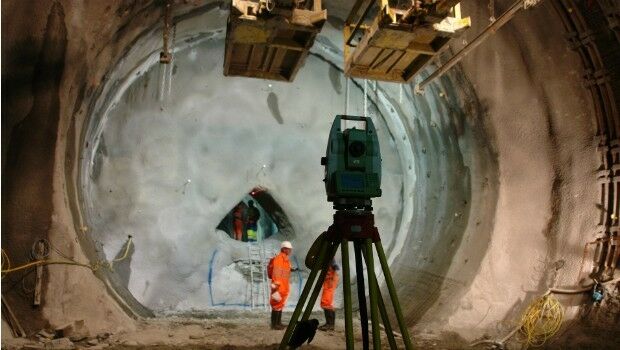

26th May 2016
CV. Gunapris Elecom Selects SuperPad as GIS Solution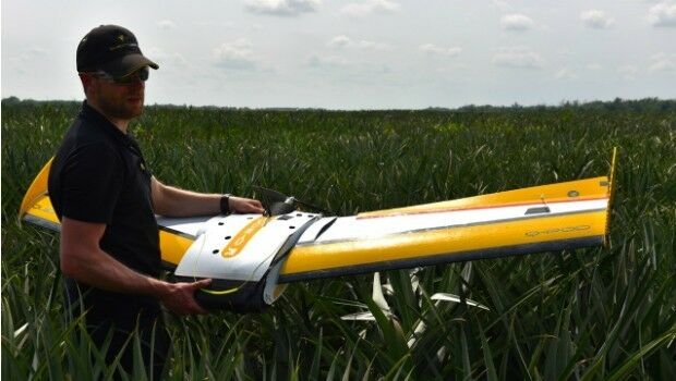
25th May 2016
QuestUAV Training Team Starts Large-Team International Training
24th May 2016
Orbital Tracking Corp. Launches First Online Marketplace in China
23rd May 2016
FOCUS 35 Total Station Monitors Dam For Movement19th May 2016
Topcon announces integration agreement with Volvo CE18th May 2016
Septentrio Introduces “Future Proof” GNSS RTK Technology for Surveyors18th May 2016
Harris Geospatial Solutions to Offer Icaros OneButton™ with ENVI®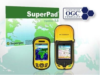
18th May 2016
The Whole New Update of Leading Mobile GIS—SuperPad 3.3
18th May 2016
New study finds earthquake threat from the Riasi fault in Himalayas18th May 2016
USGIF Launches Universal GEOINT Certification Program

17th May 2016
Handheld Introduces its First Intrinsically Safe Ultra-Rugged Computer
16th May 2016
LizardTech Launches Express Server 9.5 at GEOINT 2016 Symposium
16th May 2016
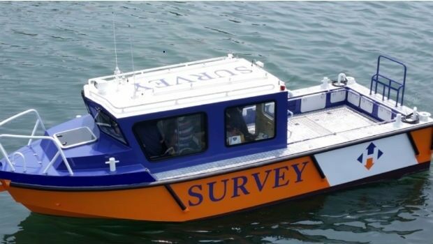
Horizon Launch High Spec Nearshore Survey Boat

13th May 2016
Second Women in Drones Event Planned for InterDrone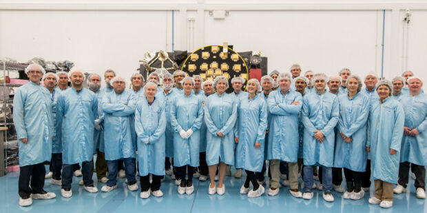
13th May 2016
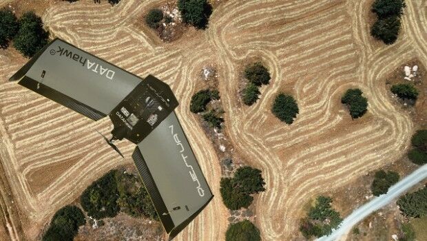
QuestUAV complete reseller rollout of Q-100 DATAhawks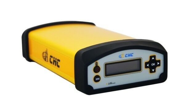
11th May 2016
Ordnance Survey select Solent Mind as new corporate charity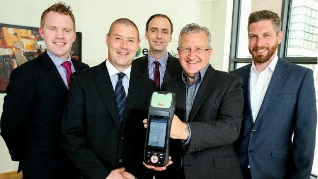
11th May 2016
Esri Ireland & Leica put accuracy into the hands of field workers11th May 2016
Integration of Orion’s European Service Module
11th May 2016
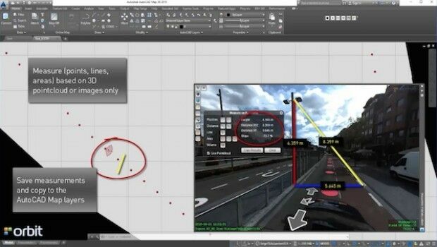
Orbit GT launches AutoCAD MAP plugin for Mobile Mapping
11th May 2016
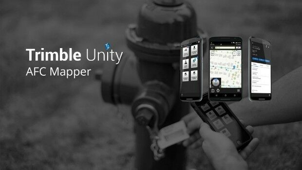
Trimble Free App for AMERICAN Flow Control Water Valves and Hydrants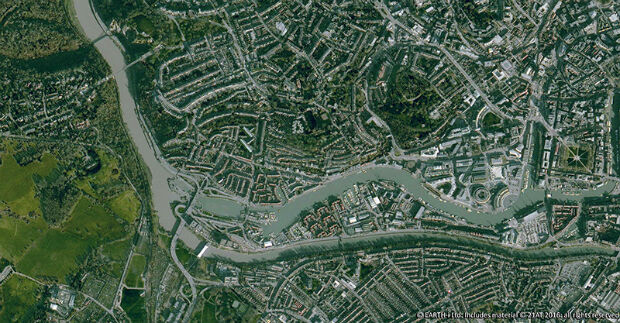
10th May 2016
Earth-i Takes the Best of British to Geospatial World Forum
10th May 2016
Radiodetection launches new Ground Penetrating Radar systems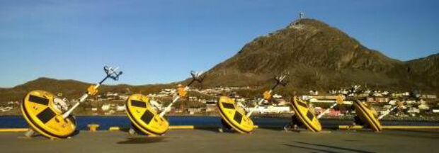
10th May 2016
Fugro commences Barents Sea Metocean and Ice Network Project

9th May 2016
£4 return on every £1 spent on council address and street information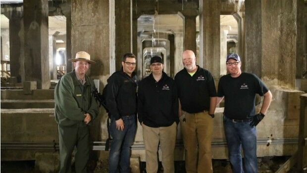
5th May 2016
National Mall Employs HighTech Surveying for 21st-Century Preservation5th May 2016
Hemisphere GNSS Announces Management Changes