
OriginGPS and TDK Shrink GNSS Footprint for Wearables
15th July 2016
OriginGPS and TDK Shrink GNSS Footprint for Wearables15th July 2016
OriginGPS and TDK Shrink GNSS Footprint for Wearables14th July 2016
Eircode data and services now available from Europa Technologies
12th July 2016
Leica Geosystems completes CAA qualifications
12th July 2016
Handheld Launches the NAUTIZ X2 All-in-One Rugged Android Device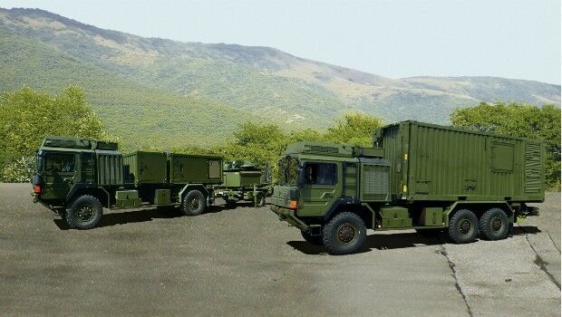
12th July 2016
Airbus Defence and Space presents its Mobile General Ground Station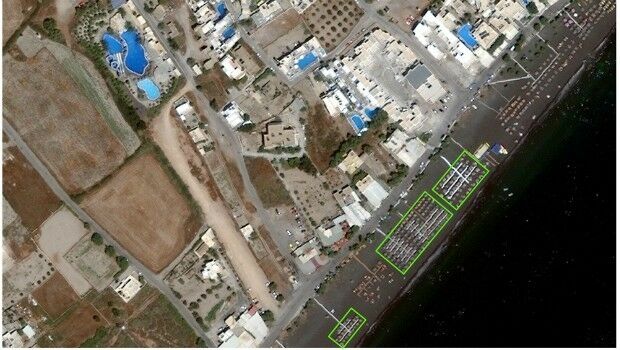
12th July 2016
Shelter from the summer sun under legal umbrellas11th July 2016
3 Major key management system contracts won by Airbus D&S
11th July 2016
Elbit Systems Launches Light SPEAR™ UAS Jamming System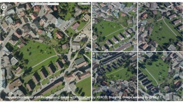
8th July 2016
Orbit GT and Vexcel Imaging, Austria sign Reseller Agreement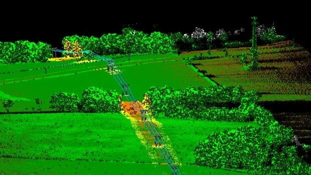
8th July 2016
Patrol+® a flying success with survey completed for National Grid
8th July 2016
The Truth About Drones in Construction and Infrastructure Inspection8th July 2016
Topcon poll reveals cost of stolen equipment7th July 2016
Esri Education Manager Presented with Highest Honor7th July 2016
UK Armed Forces to be provided with personal communications until 2022
7th July 2016
First glimpse of potential Nullarbor treasures
7th July 2016
BARTHAUER at German Street and Traffic Convention in Bremen
6th July 2016
Topcon Announces All New GT Robotic Series Total Stations
6th July 2016
Elbit Demonstrates its Digital Eye Piece Night Display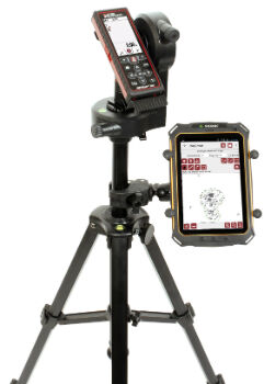
5th July 2016
Cover More Ground in Less Time with Next-Generation Mapping Tools
5th July 2016
Roke Demonstrates 3D ‘Black Box’ Technology For Vehicles
5th July 2016
Leica Geosystems announces world’s first fused airborne sensor
5th July 2016
New partnership: Masternaut & Same Day Courier Network
5th July 2016
Join us for the Hexagon Media Roundtable at ISPRS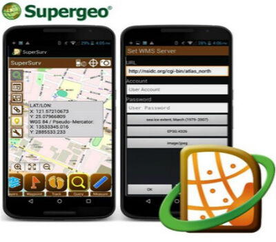
1st July 2016
SuperSurv Helps French Environment Department in Alsace1st July 2016
Faster Access to More Video Formats in New Release of ArcGIS30th June 2016
Trimble R2 GNSS Receiver Now Available for Data Collection
30th June 2016
Fugro on track with Ground Penetrating Radar Surveys for SNCF30th June 2016
New dataset of accessible greenspace for Scotland

30th June 2016
Fugro deploys more Resource for World’s Largest Seep-Hunting Survey29th June 2016
Esri Launches National Green Infrastructure Initiative for Planning
29th June 2016
what3words partners with global logistics giant Aramex29th June 2016
HERE, automotive companies move forward on car-to-cloud data standard
29th June 2016
Spectra MobileMapper 50 Combines Smartphone with GNSS Capabilities
29th June 2016
Septentrio Announces Upgrades for Altus NR2 and PinPoint-GIS27th June 2016
Septentrio's Enhanced Georeferencing Solutions for Drone Aerial Survey
27th June 2016
Extreme Runners to be Protected by Globalstar’s SPOT Gen3
27th June 2016
CMS-Geotech Ltd launches new Monitoring System.
27th June 2016
Inmarsat solution certified for Airbus A320 aircraft family25th June 2016
Nonincendive Mesa 2 Rugged Tablet™ Certified for Hazardous Locations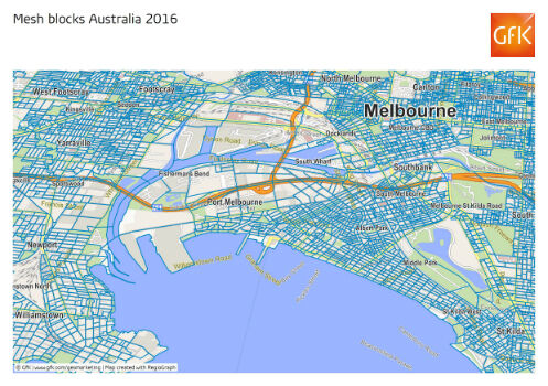
23rd June 2016
GfK releases new geodata for Australia and New Zealand23rd June 2016
CompassDrone™ Your One-Stop-Shop for Drone Based Remote Sensing
22nd June 2016
CAPIGI GeoAgri 2016: “Insightful, exciting, state-of-the-art”22nd June 2016
GSSI Announces Flexible, Configurable Ground Penetrating Radar System22nd June 2016
Hemisphere GNSS Announces New Eclipse Positioning OEM Boards