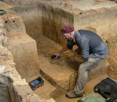
GSSI Collaborates with Jamestown Rediscovery Foundation
6th December 2018
GSSI Collaborates with Jamestown Rediscovery Foundation
6th December 2018
GSSI Collaborates with Jamestown Rediscovery Foundation6th December 2018
Pix4DMapper + Aeromapper Talon fixed wing BVLOS system5th December 2018
Meet Key players of the Unmanned Systems Industry at TUS Expo Europe 20195th December 2018
GeoCue Enables Third Party GNSS Use with Phantom 4 RTK5th December 2018
MapTiler wins Airbus Challenge of the Copernicus Masters 2018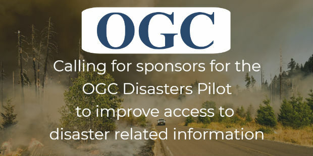
5th December 2018
Use of online disaster-related geographic information
5th December 2018
UK Power Networks deploys Cartosys location-based services toolkit
5th December 2018
ERM Advanced Telematics Targets Stolen Vehicle Recovery5th December 2018
GSSI to Showcase UtilityScan® GPR system at AGU Fall Meeting5th December 2018
RIEGL will be exhibiting and presenting at IAFSM 2018!
5th December 2018
Esri Partners with the Ocean Health Index Team
5th December 2018
Fugro’s IRM Efficiencies Reduce Costs And Attract New North Sea Clients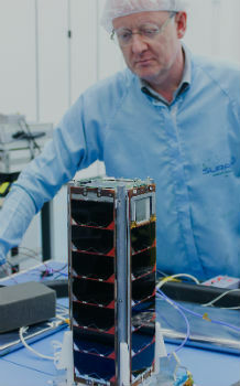
4th December 2018
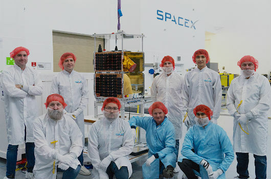
SSTL confirms successful launch of KazSTSAT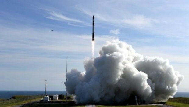
4th December 2018
Australia’s first commercial orbital launch facility_Cnes_2018_-_Distribution_Airbus_DS.jpg)
4th December 2018
Airbus locates maxi-trimaran Banque Populaire IX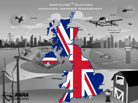
4th December 2018
ANRA Technologies UAS Traffic Management (UTM) Soars Into The UK

3rd December 2018
Disy releases new version of spatial ETL tool for Talend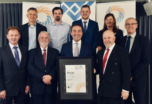
3rd December 2018
Maptek Sentry wins Excellence in Innovation award2nd December 2018
The 4th Unmanned Systems (TUS) Expo Europe 2019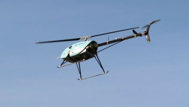
30th November 2018
Uavos Tested New Flight Algorithm ‘Glider’ For An Unmanned Helicopter
30th November 2018
Autonomous Vehicles, the Highlight of Ocean Business 2019
30th November 2018
Septentrio boosts its portfolio with mosaic GNSS module
29th November 2018
Paragon Co-Founder And Director To Retire After Almost 35 Years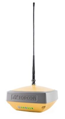
28th November 2018
Introducing the Topcon HiPer VR GNSS Receiver
28th November 2018
Announcing the OGC Energy & Utilities Summit
28th November 2018
SAS Signs Significant Distribution Agreement with GlobalSat28th November 2018
Add Geographic Intelligence to your Software Projects

28th November 2018
What apps can I use with Trimble Catalyst?27th November 2018
HERE Technologies announces developer APIs on AWS Marketplace27th November 2018
EuroSDR One-Day Workshop on Single Photon and Geiger-Mode LiDAR
27th November 2018
SimActive Software Used for Large-Scale Photogrammetry Project
26th November 2018
Unveiling of Europe’s most modern satellite control centre
26th November 2018
FREQUENTIS paves the way for efficient use of drones in public safety
26th November 2018
Barbara Bergmeier Appointed Head of Operations
26th November 2018
Terra Drone acquires Skeye to accelerate global expansion.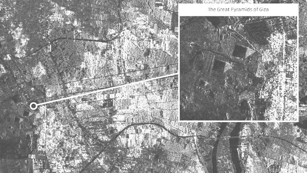
24th November 2018
SSTL releases first images from NovaSAR-1
23rd November 2018
Airbus launches a new branch of the app developer programme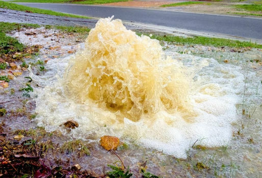
23rd November 2018
Rezatec to provide new water leak risk analysis tool
23rd November 2018
UK Hydrographic Office presents Guyana with marine geospatial data23rd November 2018
Pix4D Dresses Up In Retro For Cyber Monday
23rd November 2018
Fugro Generates Aud 10 Million Cost Saving22nd November 2018
New GPS tracking system allows companies to manage assets
20th November 2018
Getmapping Announces New European Management Team Structure