
RIEGL will be attending and exhibiting at Autodesk University 2018!
7th November 2018
RIEGL will be attending and exhibiting at Autodesk University 2018!7th November 2018
RIEGL will be attending and exhibiting at Autodesk University 2018!
7th November 2018
Data validation from 1Spatial helps support Rural Payment Agency (RPA)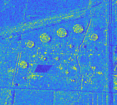
29th October 2018
Airbus and Ursa to continue partnership on use of radar satellite data
29th October 2018
SAFIR consortium chosen to carry out U-space drone demonstrations
27th October 2018
Garmin receives approval for the GFC 500 autopilot
27th October 2018
Eos Supports Haiti Outreach in its Sustainable Water Initiative
26th October 2018
DARA project wins Better Satellite World Award.jpg)
25th October 2018
Cyber Security Summit & Expo set to provide unrivalled content
25th October 2018
Airbus launches Ocean Finder to improve safety of assets at sea25th October 2018
City Technical Services To Improve Efficiency And Enhance Safety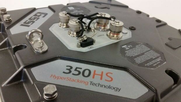
25th October 2018
GSSI Highlights UtilityScan® GPR System at GSA Annual Meeting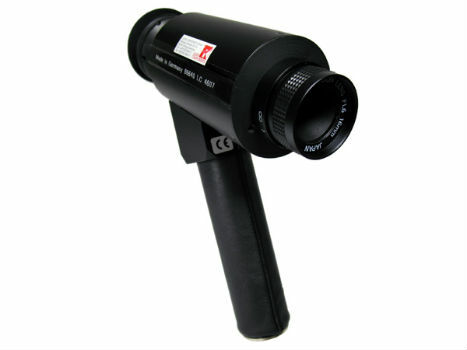
24th October 2018
IR Viewers - Available from Stock for Quick Dispatch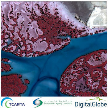
24th October 2018
Satellite-Derived Mangrove Health Assessment Delivered to Abu Dhabi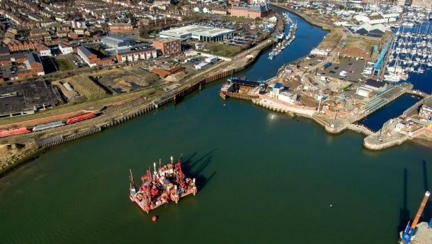
24th October 2018
Fugro Seminar To Spotlight Role Of Geoscience24th October 2018
Esri enters into MOU with UAE Statistics Authority
24th October 2018
Lockheed Martin Purchase An Aeromapper Talon sUAS
24th October 2018
Remember Remember QGIS 3 Training in November24th October 2018
SSTL’s international exports recognised with a UK Board of Trade Award24th October 2018
GeoSpock Wins Liverpool Mayor’s ‘Smart Cities Realised’
24th October 2018
MAPPS Announces Passage of the Geospatial Data Act
24th October 2018
French Navy’s surface fleet now equipped with RIFAN 2 secure intranet24th October 2018
RIEGL to Exhibit and Present at Future of Mining Americas 2018!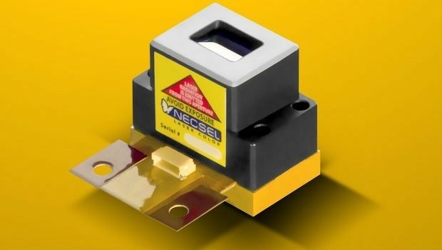
23rd October 2018
1W Output Power at 577nm - Yellow High Power Laser22nd October 2018
Esri Announces Student Poster Competition
22nd October 2018
Fraunhofer IPM supports route planning for fiber-optic networks
22nd October 2018
Ordnance Survey appoints John Clarke as Non-Executive Director19th October 2018
Spectra Precision Announces Name Change and a New Brand Identity19th October 2018
Government of Canada to Invest $7.2 Million in exactEarth

19th October 2018
Remote GeoSystems Releases New MISB FMV Module18th October 2018
Geospatial Media and Communications announces GEO|Design+BIM Awards
18th October 2018
Uavos Inc. And Stratodynamics Aviation Inc. Pioneer A Monitoring Project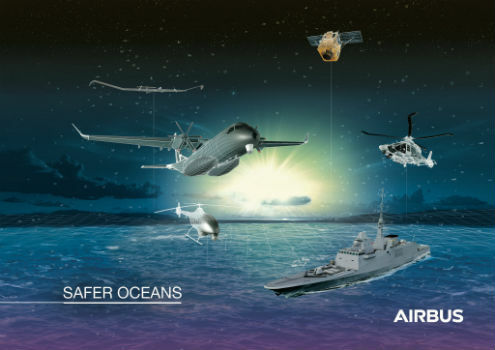
18th October 2018
Airbus to showcase smart solutions for safer oceans at Euronaval
18th October 2018
Advanced subsurface insight is theme of Fugro geophysics seminar18th October 2018
URISA Leaders Recognized at GIS-Pro & CalGIS 201818th October 2018
Hexagon Geosystems at GEO|Design+BIM 2018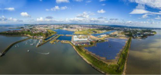
17th October 2018
OceanWise supplies new Tide and Weather Systems to all ABP South Wales Ports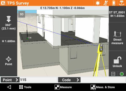
17th October 2018
GeoMax announces X-PAD Ultimate field software17th October 2018
DotProduct announces Dot3DTM 3.0 with Intel® RealSenseTM 3D scanning
17th October 2018
High-End Seismic Imaging Solves Shallow Gas Challenges17th October 2018
Geomni Forms Strategic Alliance with Skyline Software Systems
17th October 2018
Trimble Introduces New Handheld Computer for Field Data Collection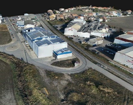
17th October 2018
Trimble Inpho Software Suite Extends Photogrammetric Deliverables17th October 2018
Going Digital (Twins): Bentley Inaugurates iTwinTM Services!