
Data Capture
Don't miss a beat, sign up to our newsletter
Airbus turns imagery into insight with The OneAtlas Platform
19th February 2019
Airbus turns imagery into insight with The OneAtlas Platform
American Red Cross to present at Esri UK AC
19th February 2019
American Red Cross to present at Esri UK AC
Nanotron and ClearBlade partner to deliver 360° Edge Analytics
19th February 2019
Nanotron and ClearBlade partner to deliver 360° Edge Analytics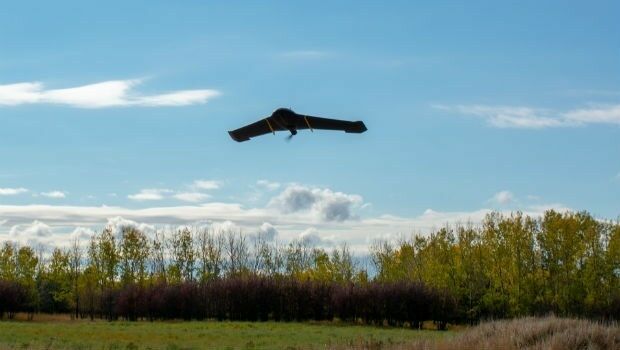
IN-FLIGHT Data awarded three GUINNESS WORLD RECORDS™
19th February 2019
IN-FLIGHT Data awarded three GUINNESS WORLD RECORDS™
Juniper Systems Limited Launches New Cedar CT8 Rugged Tablet
19th February 2019
Juniper Systems Limited Launches New Cedar CT8 Rugged Tablet
Garmin® celebrates a GPS milestone in aviation
18th February 2019
Garmin® celebrates a GPS milestone in aviation
Mapping and Monitoring the Carbon Content of Earth’s Forests
18th February 2019
Mapping and Monitoring the Carbon Content of Earth’s Forests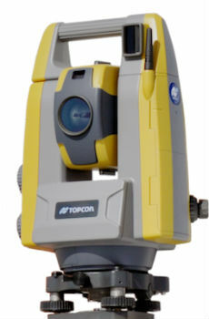
Topcon introduces GT-503M motorised total station
15th February 2019
Topcon introduces GT-503M motorised total station
New radar systems enable quick integration
15th February 2019
New radar systems enable quick integration


Terra Drone Optimizes Long-Distance Power Line inspection
15th February 2019
Terra Drone Optimizes Long-Distance Power Line inspection
Juniper Systems releases Cedar CT8 Rugged Tablet
15th February 2019
Juniper Systems releases Cedar CT8 Rugged Tablet
exactEarth’s Revolutionary Global Real-Time Maritime Tracking
15th February 2019
exactEarth’s Revolutionary Global Real-Time Maritime Tracking
Research project to offer neural networks training
15th February 2019
Research project to offer neural networks training
HERE establishes groundbreaking AI research institute
15th February 2019
HERE establishes groundbreaking AI research institute
Bentley Systems Announces OpenUtilities™ Solutions for DER
15th February 2019
Bentley Systems Announces OpenUtilities™ Solutions for DER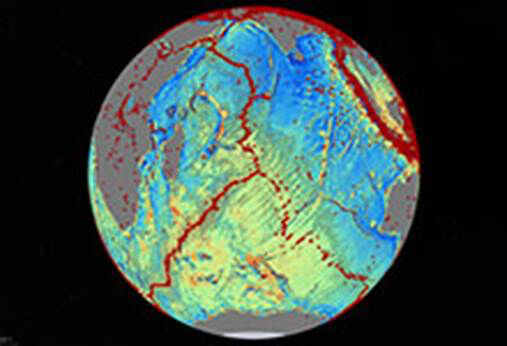
Navy-Sponsored Scientist Awarded for Sea-Floor Mapping
15th February 2019
Navy-Sponsored Scientist Awarded for Sea-Floor Mapping
Esri's Dr. Dawn Wright to Speak at the College of William & Mary
13th February 2019
Esri's Dr. Dawn Wright to Speak at the College of William & Mary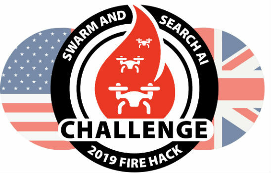
Dstl Announce Swarming Drone Hackathon Challenge
13th February 2019
Dstl Announce Swarming Drone Hackathon Challenge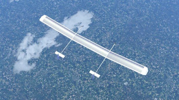
New high-altitude platform to revolutionise the way we look at earth
13th February 2019
New high-altitude platform to revolutionise the way we look at earth
Unifly partners with Terra Drone India to support UTM in India
13th February 2019
Unifly partners with Terra Drone India to support UTM in India
Drive, Park, Ride: Moovit and TomTom Align With Microsoft
13th February 2019
Drive, Park, Ride: Moovit and TomTom Align With Microsoft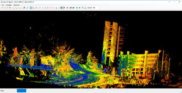
Mobile Mapping System Road-Scanner for the first tram line in Bologna
13th February 2019
Mobile Mapping System Road-Scanner for the first tram line in Bologna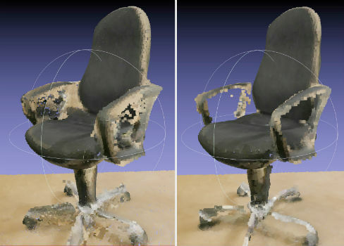
NavVis now uses SLAM to automatically remove point cloud artifacts
12th February 2019
NavVis now uses SLAM to automatically remove point cloud artifacts
RIMS in certification as Remote Inspection Specialist using drones
12th February 2019
RIMS in certification as Remote Inspection Specialist using drones
SimActive Expands its Partner Network for Medium Format Camera Solutions
12th February 2019
SimActive Expands its Partner Network for Medium Format Camera Solutions
Exalto Emirates adds Martek's Anti Drone System to it's portfolio
11th February 2019
Exalto Emirates adds Martek's Anti Drone System to it's portfolio
MAPPS Presents the 2018 Geospatial Products and Services Excellence Awards
11th February 2019
MAPPS Presents the 2018 Geospatial Products and Services Excellence Awards
Airbus and JSAT sign cooperation agreement
8th February 2019
Airbus and JSAT sign cooperation agreement
Aireon Takes Full Control of Final ADS-B Payloads
8th February 2019
Aireon Takes Full Control of Final ADS-B Payloads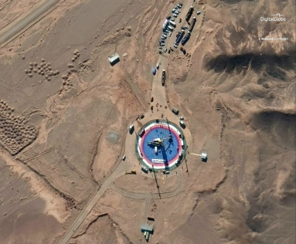
Pre- and Post-Launch at of Iranian Satellite
8th February 2019
Pre- and Post-Launch at of Iranian Satellite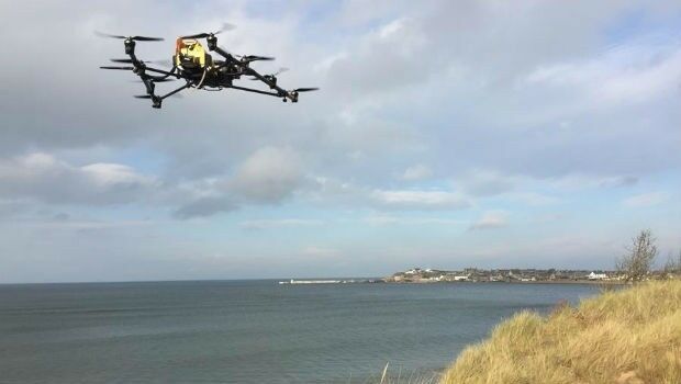
Oil Spill Response Limited (OSRL) Announces New Global UAV Service
8th February 2019
Oil Spill Response Limited (OSRL) Announces New Global UAV Service
Nanotron contributes to a ground-breaking collaborative project
8th February 2019
Nanotron contributes to a ground-breaking collaborative project_dipping_sonar_onboard_Seagull_USV.jpg)
A HELRAS Dipping Sonar Completed Sea Acceptance Test
8th February 2019
A HELRAS Dipping Sonar Completed Sea Acceptance Test
Terra Drone Invested in Indonesia’s Drone Service Company AeroGeosurvey
8th February 2019
Terra Drone Invested in Indonesia’s Drone Service Company AeroGeosurvey
Garmin® announces availability of the G1000 NXi upgrade
8th February 2019
Garmin® announces availability of the G1000 NXi upgrade
Airbus and Dassault Aviation sign Joint Concept Study contract
7th February 2019
Airbus and Dassault Aviation sign Joint Concept Study contract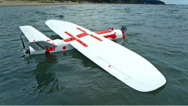
Pioneering steps into fixed wing - water landing drones in marine ecology
7th February 2019
Pioneering steps into fixed wing - water landing drones in marine ecology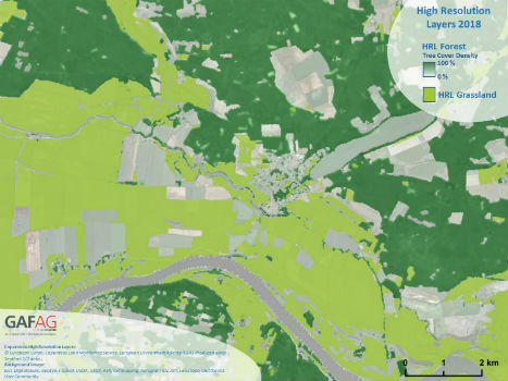
Copernicus Land Monitoring: High-Resolution Layers 2018 kick off!
7th February 2019
Copernicus Land Monitoring: High-Resolution Layers 2018 kick off!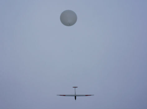
HiDRON Measured Weather Conditions In The Stratosphere
6th February 2019
HiDRON Measured Weather Conditions In The Stratosphere
Airbus and Dassault Systèmes embark on strategic partnership
6th February 2019
Airbus and Dassault Systèmes embark on strategic partnership
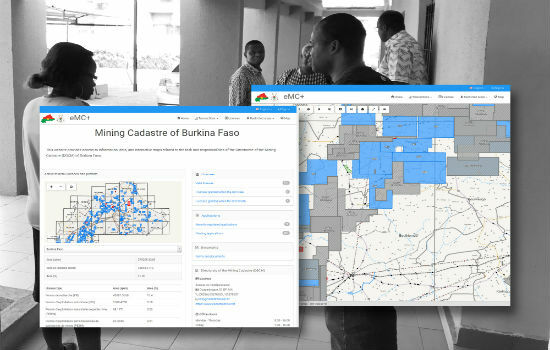
Burkina Faso Establishes Computerised Mining Cadastre
5th February 2019
Burkina Faso Establishes Computerised Mining Cadastre
Goonhilly & Shetland Space Centre join forces for new space opportunities
5th February 2019
Goonhilly & Shetland Space Centre join forces for new space opportunities