
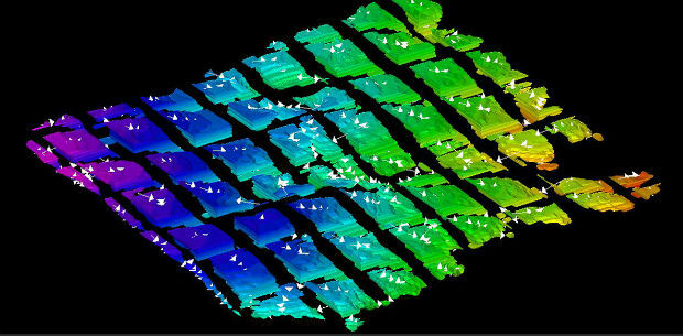
Harrow Council Completes Highway Asset Surveys with Saber
20th November 2018
Harrow Council Completes Highway Asset Surveys with Saber
20th November 2018
Harrow Council Completes Highway Asset Surveys with Saber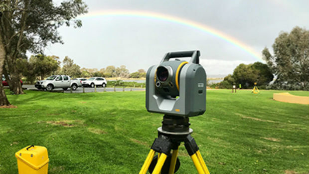
20th November 2018
Trimble SX10: The one that started it all
20th November 2018
SCISYS Launches Location-Based services toolkit
19th November 2018
Investment boost for Australia’s space and AI industries
19th November 2018
Airbus to build new generation broadcast satellites19th November 2018
VisTracks and ATrack announce Strategic Alliance Agreement
19th November 2018
Autotalks Expands into China with its Truly Secure LTE-V2X Solution
19th November 2018
SimActive Releases Version 8.0 with 3D Modeling16th November 2018
Schneider Electric Announces Partnership With RMSI
16th November 2018
UAVOS And Stratodynamics Aviation Started Test Flights16th November 2018
Telespazio and Thales Alenia Space announce an investment
15th November 2018
Tencent selects HERE as global provider of map and places data
15th November 2018
Multi-objective optimisation reaching new heights
14th November 2018
Garmin GFC 500 and GFC 600 autopilots approved
14th November 2018
Fugro Delivers Actionable Intelligence To Construction Projects
14th November 2018
Wärtsilä launches SceneScan, the first targetless laser sensor_Machlis.jpg)
14th November 2018
Elbit Systems Awarded $167 Million Contract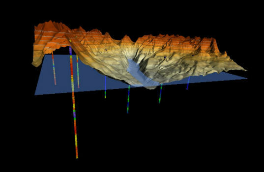
13th November 2018
Golden Software Enhances 3D Data Visualization in Surfer 16
13th November 2018
Bentley Systems Announces the Acquisition of ACE enterprise Slovakia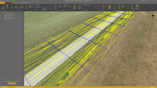
13th November 2018
Virtual Surveyor 6.1 Handles More Than Drone Data13th November 2018
Bentley Systems Announces Agreement to Acquire AIworx,
13th November 2018
Maptitude Team Supports UTDallas GIS Day Events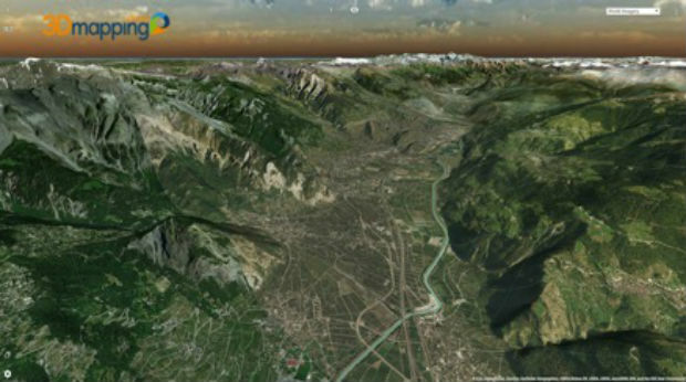
13th November 2018
Orbit GT upgrades 3D Mapping Cloud to support Meshes, DEMs
13th November 2018
FLEXPOINT® MVnano Series - Gap Measurement
13th November 2018
Anis Saad is the new owner of the BARTHAUER GROUP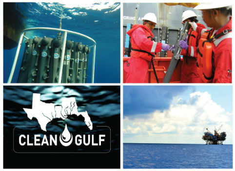
12th November 2018
CSA Scientists Presenting Case Studies in Environmental Monitoring12th November 2018
AIT presents solutions for urban planning and future mobility
12th November 2018
CHC Navigation introduces the Alpha3D Mobile Mapping Solution
10th November 2018
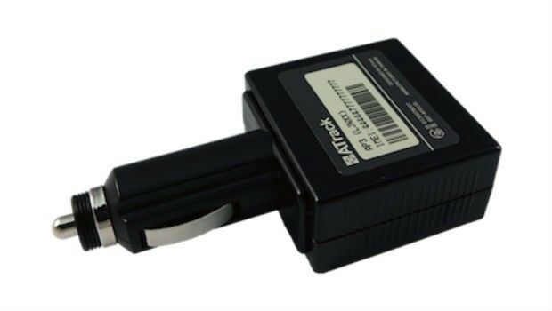
Softbank Mobile Choose ATrack AP3 for Corporate Vehicle Management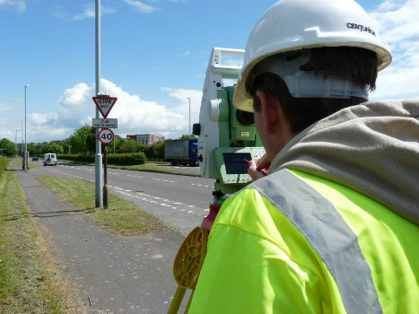
9th November 2018
TSA steps up the campaign to halt equipment theft9th November 2018
Defence Geospatial Intelligence Conference 2019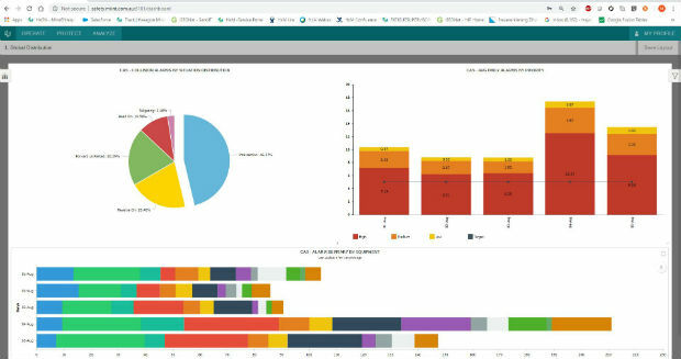
8th November 2018
Hexagon strengthens mine safety portfolio with enterprise platform
8th November 2018
Teledyne CARIS Sponsoring GEBCO Symposium 2018
8th November 2018
Inauguration of Europe’s most modern satellite control centre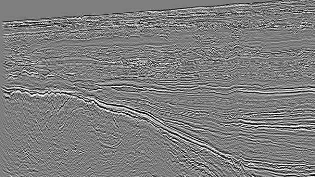
8th November 2018
CGG’s Mozambique Multi-Client Survey Now Available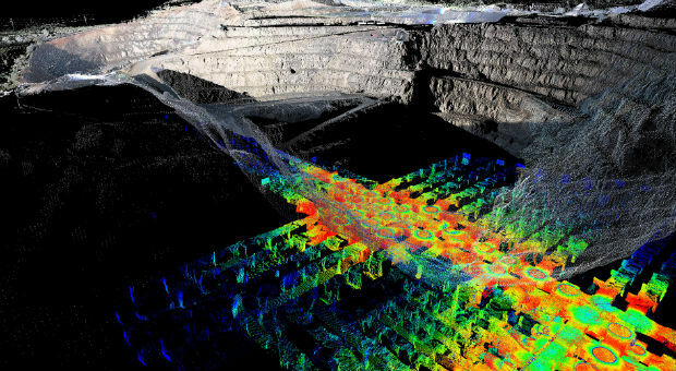
8th November 2018
PointStudio - New name and platform for Maptek spatial data application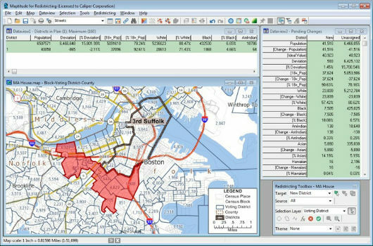
8th November 2018
Learn More About Maptitude for Redistricting8th November 2018
Boundless to Sponsor AGS Geography Teacher Fellows Program at Geography 20507th November 2018
Map Maker AND joins the Esri Partner Network
7th November 2018
All good things come in threes: MetOp-C successfully launched
7th November 2018
RIEGL is Expanding their Airborne and UAV Sensor Product Range!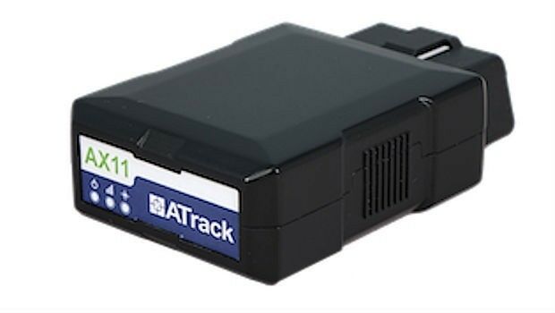
7th November 2018
ATrack Recognized with 2018 ICT Month Innovative Elite Award7th November 2018
TPC Desktop 2018 Release 2 is Now Available!
7th November 2018
EUMETSAT’s third Metop satellite successfully launched