Open Cosmos satellite to gather crucial agricultural data for Andalucía set to launch in 2023
14th April 2023
Open Cosmos satellite to gather crucial agricultural data for Andalucía set to launch in 2023
14th April 2023
Open Cosmos satellite to gather crucial agricultural data for Andalucía set to launch in 2023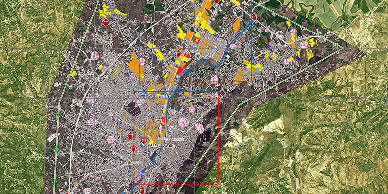
14th April 2023
e-GEOS (Telespazio/ASI) reconfirmed as head of the Emergency Management Service consortium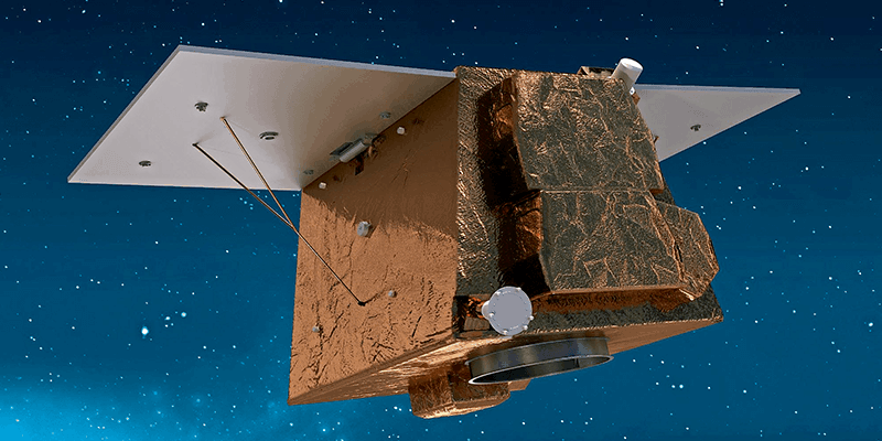
14th April 2023
Airbus wins contract from Angola for Earth observation satellite Angeo-1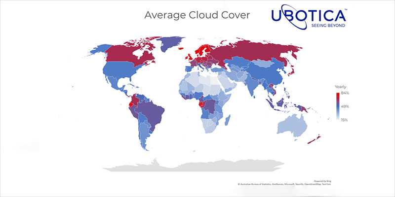
14th April 2023
Ubotica Slashes Satellite Data Overload with On-Board AI Solution
3rd April 2023
e-GEOS (ASI/Telespazio) will be building the infrastructure for access to the data of the Italian IRIDE satellite constellation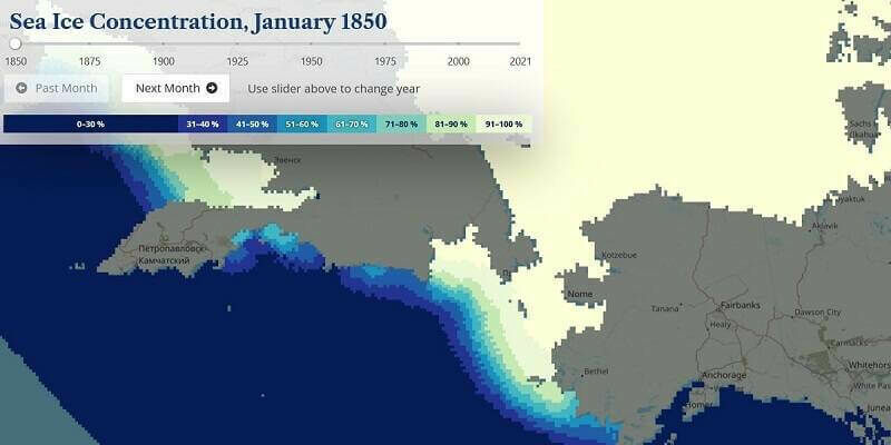
30th March 2023
Historical Arctic Sea Ice Atlas - 170 years in real-time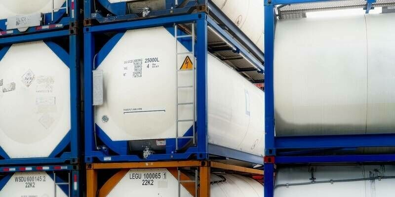
24th March 2023
Globalstar, Ovinto and Satellite IoT Support Clean Energy with Safe Worldwide Transport of Hazardous Gases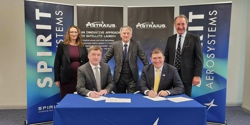
21st March 2023
Spirit AeroSystems, Astraius join forces to boost UK launch ambitions13th March 2023
Defence Geospatial Intelligence (DGI) 2023 Conference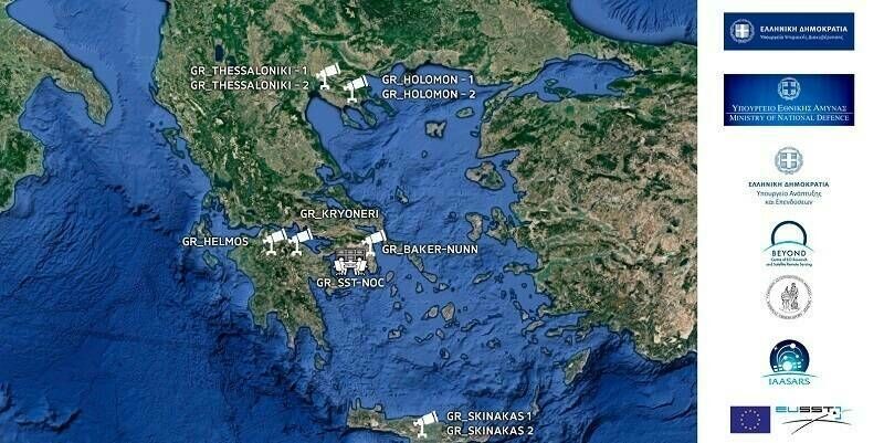
10th March 2023
GMV provides the core software for the Greek SST System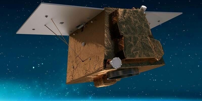
10th March 2023
Airbus wins contract from Angola for Earth observation satellite Angeo-1
9th March 2023
Ubotica Slashes Satellite Data Overload with On-Board AI Solution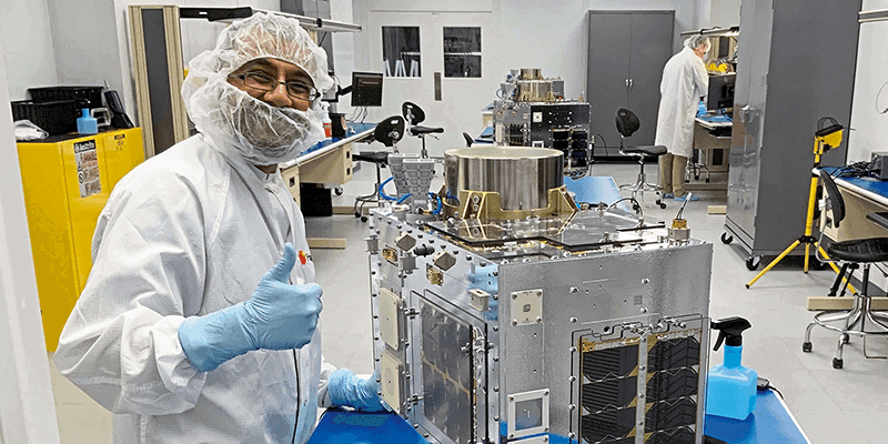
1st March 2023
Space Flight Laboratory (SFL) Awarded Development and Production Support Contract for 15 Additional Hawkeye 360 Radio Frequency Geolocation Microsatellites
1st March 2023
Synspective and GCRS Announce Partnership for SAR Satellite-Based Risk Analysis Solutions in South Asia
1st March 2023
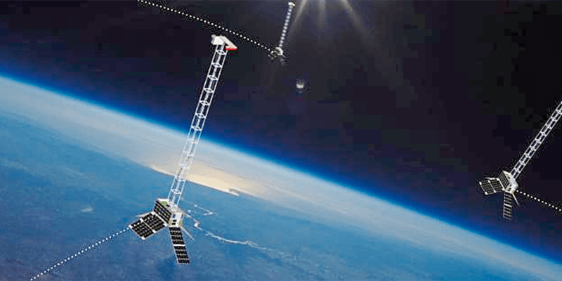
Ubotica and Open Cosmos Agree to Launch AI Centric Satellite
1st March 2023
GMV Assesses Impact of Turkey Earthquake From Space
1st March 2023
UP42 Launches Arcgis Pro Add-in as Part of Esri Partner Network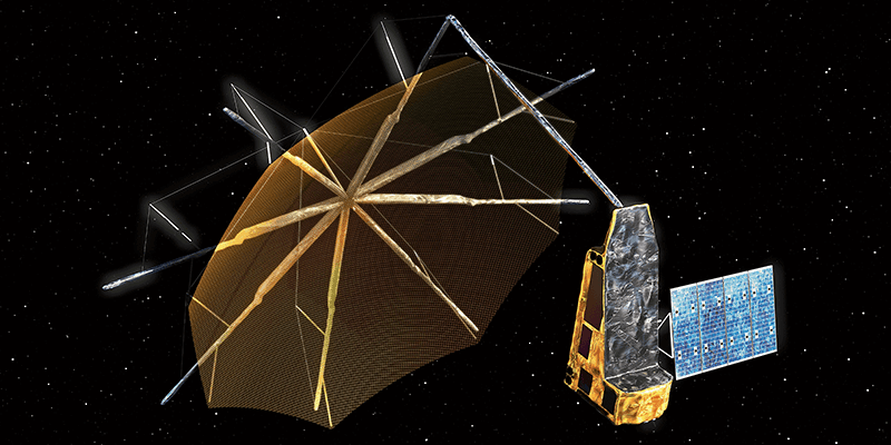
1st March 2023
Swedish Space Corporation to Support ESA’s Next Earth Explorer Mission
1st March 2023
The Space Partnership – A coalition for growth
1st March 2023
Aeronautics' board of directors appoints Dan Slasky as CEO of the Aeronautics Group
1st March 2023
Change in leadership at GAF AG – Dr Gernot Ramminger named new Managing Director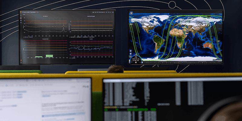
1st March 2023
Kongsberg Nanoavionics Officially Opened its Mait Expansion Facility, Doubling Overall Production Capacity
1st March 2023
Mitsubishi Electric and Astroscale to Develop and Produce Satellite Buses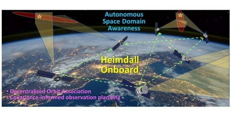
27th February 2023
Orbit Logic’s Onboard Planning Software Enables Enhanced SSA Using Satellite Clusters
21st February 2023
EO at the Fingertips of Experts and Non-Experts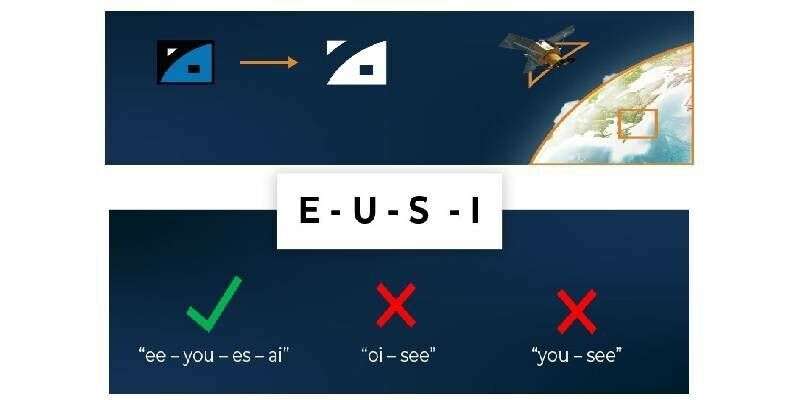

20th February 2023
GMV assesses impact of Turkey earthquake from space
13th February 2023
First Earth Observation images from Open Cosmos MENUT satellite received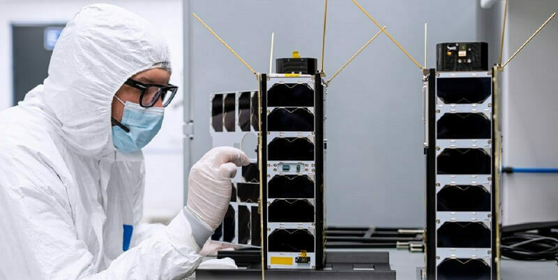
10th February 2023
Kongsberg NanoAvionics officially opened its MAIT expansion facility, doubling overall production capacity
7th February 2023
Airbus steps up its quest for new talent to prepare the future of aerospace
2nd February 2023
Digital revolution inspires new research direction in ecosystem structural diversity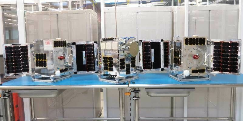
31st January 2023
Space Flight Laboratory Confirms Successful Orbital Deployment of HawkEye 360 Cluster 6 Microsatellites
30th January 2023
EU Space helps drive the green transformation
30th January 2023
MEXT Minister Appoints Motoyuki Arai Entrepreneurship Education Ambassador to Lead Next Generation into the Future
26th January 2023
HawkEye 360 Successfully Launches Cluster 6 Satellites Aboard Inaugural Rocket Lab Electron Flight From Virginia
25th January 2023
New Horizon Europe project ‘EvoLand’ sets off to develop new prototype services for the Copernicus Land Monitoring Service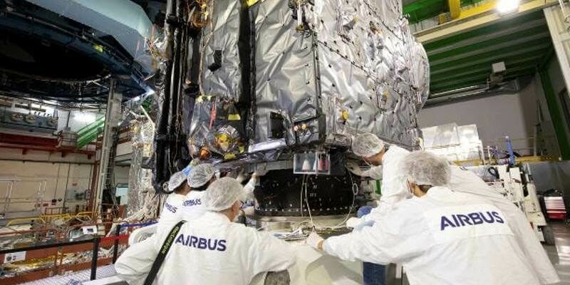
23rd January 2023
Airbus finalises JUICE - ready for its mission to Jupiter
18th January 2023
UK space specialists start year by announcing major contract wins
17th January 2023
Tech entrepreneurs reach for the stars with funding boost for space mission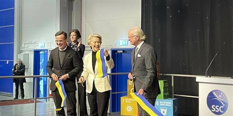
16th January 2023
Mainland EU’s first orbital launch site inaugurated – Spaceport Esrange ready for satellite launches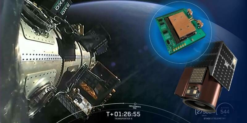
12th January 2023
Spiral Blue SE-1 Computer Reaches Orbit Aboard Satellogic Satellite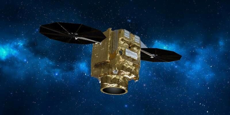
11th January 2023
Airbus to provide Poland with a very high resolution optical satellite system
10th January 2023
European Space Agency Joins Forces with Euroconsult to Support Budding Space Entrepreneurs
8th January 2023
SpaceX Transporter-6 successfully launched Europe‘s first solar sail mission
29th December 2022
Synspective Releases First Image from its Third SAR Satellite "StriX-1”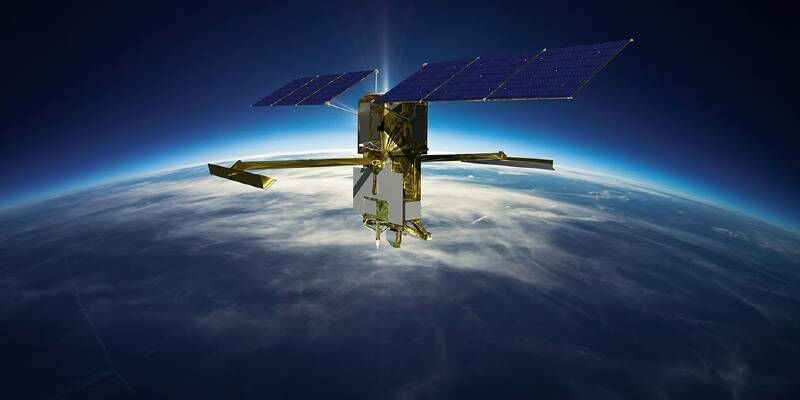
22nd December 2022
Flann Microwave Aids in NASA SWOT Satellite Development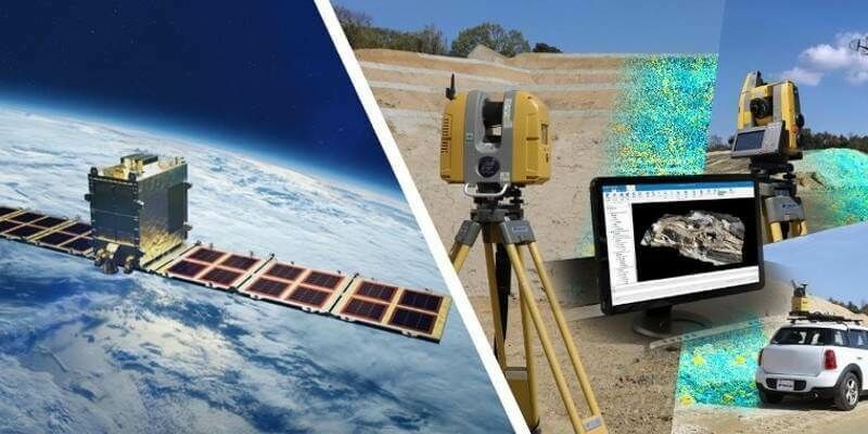
15th December 2022
Earth Observation from Space Synspective Partners with Topcon to Create New Synergy for Satellite Data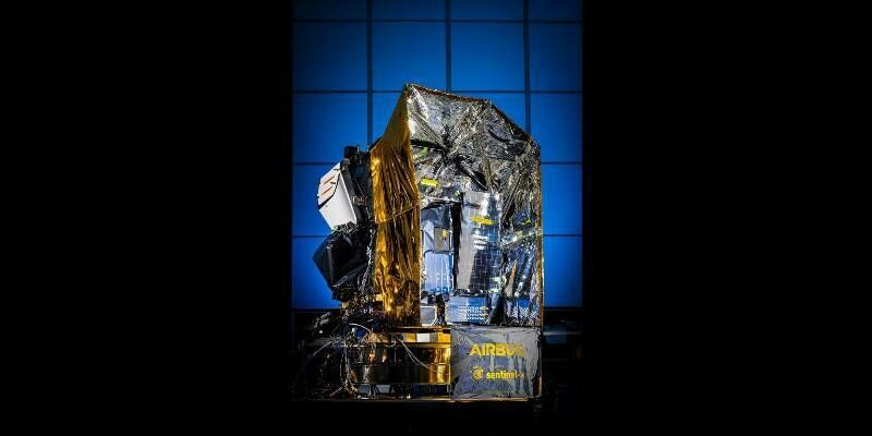
14th December 2022
Airbus delivers first Sentinel-4 air-monitoring instrument to ESA