Share
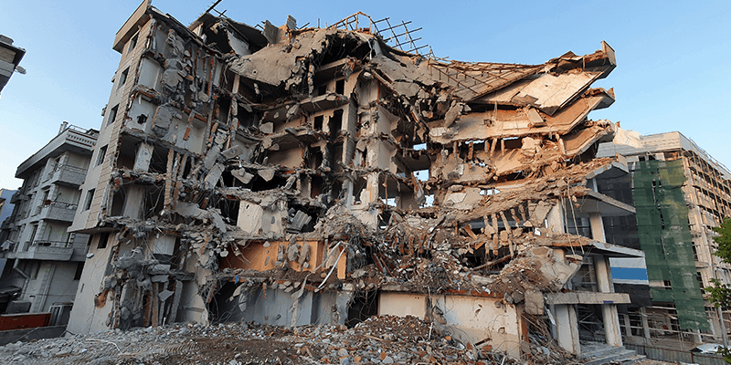
As part of its emergency management efforts, GMV is conducting an impact assessment of the earthquake that struck Turkey and Syria in the early hours of Monday, February 6. It is already considered the deadliest earthquake in the last 10 years, with a death toll of 33,000 so far. GMV is using optical imagery of the highest resolution to keep the EU Civil Protection Mechanism’s Emergency Response Coordination Centre (ERCC) apprised of the situation facing the population and infrastructure in several affected cities (Gaziantep, İslahiye, Düzi.i and Bahçe). GMV is assessing how the population and infrastructure have been affected by one of the largest quakes in the last decade, compiling all information from high-resolution satellite imagery. www.gmv.com


