
Add Geographic Intelligence to your Software Projects
28th November 2018
Add Geographic Intelligence to your Software Projects28th November 2018
Add Geographic Intelligence to your Software Projects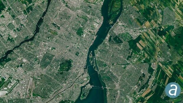
27th November 2018
SimActive Software Used for Large-Scale Photogrammetry Project
26th November 2018
Getmapping appoints Geosolutions Consultant
24th November 2018
SSTL releases first images from NovaSAR-1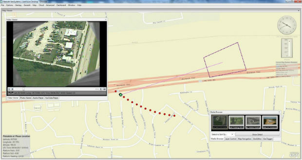
21st November 2018
Full Motion Video (FMV) Support to LineVision Desktop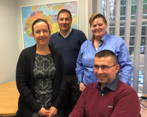
20th November 2018
Getmapping Announces New European Management Team Structure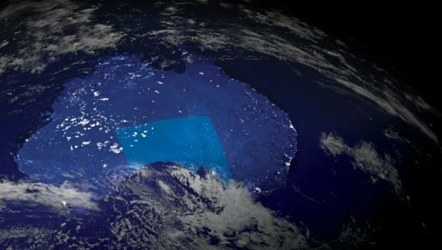
19th November 2018
Investment boost for Australia’s space and AI industries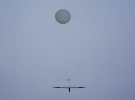
16th November 2018
UAVOS And Stratodynamics Aviation Started Test Flights
29th October 2018
Airbus and Ursa to continue partnership on use of radar satellite data24th October 2018
Esri enters into MOU with UAE Statistics Authority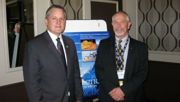
24th October 2018
MAPPS Announces Passage of the Geospatial Data Act19th October 2018
Government of Canada to Invest $7.2 Million in exactEarth
19th October 2018
Remote GeoSystems Releases New MISB FMV Module18th October 2018
Apps from Avineon Now Available in the ArcGIS Marketplace
17th October 2018
Siemens and Bentley Systems Announce Integrated APM Solution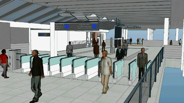
17th October 2018
Bentley Systems Acquires LEGION, Leading Pedestrian Simulation Software17th October 2018
Bentley Acquires Agency9 to Realize Digital Twins for Every City17th October 2018
Going Digital (Twins): Bentley Inaugurates iTwinTM Services!
16th October 2018
Kaarta Announces Stencil 2 Mobile Mapping System12th October 2018
Hurricane Michael Aftermath in Panama City and Tyndall AFB
11th October 2018
MALLORCA: Small Island hit by Flash Flooding
9th October 2018
CORSICA: Satellite Images Highlight Major Oil Spill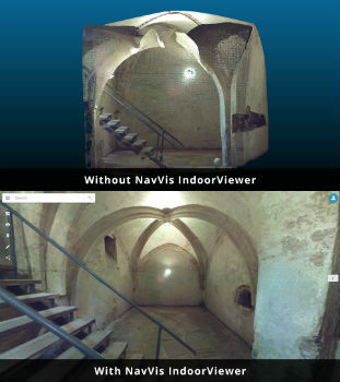
8th October 2018
NavVis IndoorViewer converts static scans into immersive 360° imagery
3rd October 2018
USGIF Launches Third Annual EdGEOcation Giving Campaign
2nd October 2018
RIEGL to Attend and Exhibit at IACP 2018!2nd October 2018
Extensis and LizardTech Unite as One Company
2nd October 2018
Rezatec provides AHDB with innovative geospatial data analytics2nd October 2018
PCI Geomatics Releases Geomatica and GXL 201824th September 2018
Airbus announces finalists of Multi-Data Challenge
24th September 2018
European Space Imaging Awarded €20 Million Maritime Contract20th September 2018
PCI Geomatics Completes Historical Airphoto Mapping Project12th September 2018
Airbus and Orbital Insight partner on The OneAtlas Platform3rd September 2018
CGG Develops a Centre for Advanced Imaging for PETRONAS
16th August 2018
GENOA, ITALY: Satellite Images of Morandi Bridge Collapse16th August 2018
SSTL announces NovaSAR-1 and SSTL S1-4 will launch on ISRO’s PSLV15th August 2018
UrtheCast Announce Term Sheet for Purchase of Geosys15th August 2018
Remote Geo "Graduates" from Esri Startup to Silver Partner
8th August 2018
Bentley Announces Finalists in the Year in Infrastructure 2018 Awards4th August 2018
Linkfast to Provide Applanix Products and Solutions27th July 2018
3D PluraView Monitor Product Family expanded – new 22″ Full-HD Model20th July 2018
Nottingham expert named President of the Royal Institute of Navigation17th July 2018
Aeronyde and Unifly Partner to Build Advanced Drone Systems13th July 2018
Deimos Awarded Multi-Million Euro ESA Contract13th July 2018
European Union with seamless satellite-based coverage of Europe12th July 2018
Catapult partners with Kepler Communications11th July 2018
Virtual Surveyor Streamlines Workflow, Enhances User Experience