Share
LONDON, U.K. – The Year in Infrastructure 2018 Conference – 15 October 2018 – Bentley Systems, Incorporated, the leading global provider of comprehensive software solutions for advancing the design, construction, and operations of infrastructure, today announced the acquisition of leading pedestrian simulation software provider LEGION, based in London and supporting more than half of the world’s 40 largest transit agencies. The acquisition augments Bentley’s comprehensive modeling environment with collaborative digital workflows to explore and validate comparative simulations of pedestrian traffic scenarios.
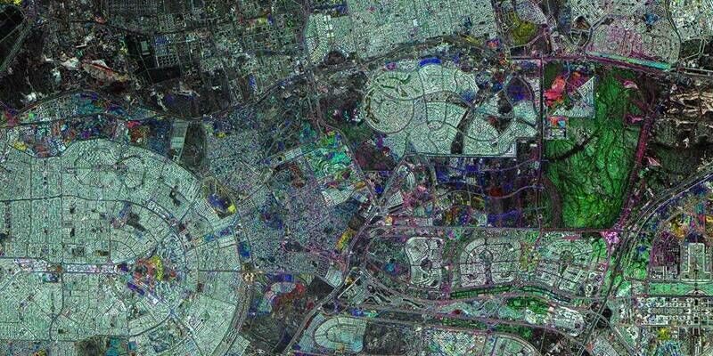
LEGION’s pedestrian simulation application offers modeling capabilities of people’s interactions with each other and physical obstacles, and activities, including circulation and evacuations, within public spaces like railway stations, airports, sports arenas, tall buildings, and street level with vehicle interactions. Using LEGION simulation tools in collaborative digital workflows with Bentley’s OpenBuildings Designer (formerly AECOsim Building Designer), architects, engineers and owners can consider pedestrian traffic in their conceptioneering of design alternatives. The newly announced OpenBuildings Station Designer will enable collaborative digital workflows to fully model pedestrian activities and journeys to and from trains, platforms, and through stations.
Santanu Das, senior vice president of design engineering for Bentley Systems, said, “Because pedestrian traffic and capacity are major concerns for infrastructure planning and operations, collaborative digital workflows for pedestrian simulation need to be prioritized during design. Taking advantage of LEGION’s innovative pedestrian modeling capabilities throughout Bentley’s comprehensive modeling environment will enable better decisions to improve pedestrian circulation, throughput, and overall safety. That’s a great example of the collaborative digital workflows that our open applications, such as OpenBuildings, uniquely support.”
LEGION founder, Douglas Connor, said, “Pedestrian flows should be considered fundamental design criteria for infrastructure assets like train stations or airports which are intrinsically meant to serve the needs of pedestrians. We’re excited to join with Bentley to provide designers, engineers, and owners with pedestrian simulation applications that are integrated with market leading design modeling offerings. Next, we can advance LEGION’s “Science in Motion” vision to incorporate pedestrian simulation quite cohesively—from the strategic and capital planning of an infrastructure project, throughout its design, subsequent retrofits, and into asset operations.”
Samya Ghosh, head-urban space; regional director, transportation (Europe, Middle East, India, and Africa) for premier, fully integrated global infrastructure firm AECOM, said, “The urban space team of AECOM, based in the UK, has been using LEGION software for various crowd modeling projects for more than 10 years—in numerous national and international projects. The crowd modeling is primarily undertaken to provide an evidence base for wider evaluation of existing and proposed rail infrastructure, public realm, sports venue and major event planning, and design or refurbishment of large institutions. The LEGION software is widely accepted among clients for pedestrian micro-simulation modeling which our professionals use to analyze and inform designs and masterplans. In our recent projects, it has been increasingly important to integrate the pedestrian modeling with BIM and in this respect, I consider the merger of Bentley and LEGION will open up a huge potential.”
Image: LEGION’s pedestrian simulation applications offer modeling for scenarios such as interaction of pedestrians with each other and with physical obstacles, circulation and evacuations within public spaces like railway stations, airports, sports arenas, and tall buildings, and pedestrian and vehicle interactions.
Subscribe to our newsletter
Stay updated on the latest technology, innovation product arrivals and exciting offers to your inbox.
Newsletter