
RIEGL ultimate LiDAR webinar series - May 2020
12th May 2020
RIEGL ultimate LiDAR webinar series - May 2020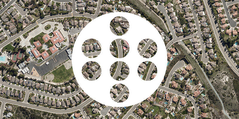
12th May 2020
RIEGL ultimate LiDAR webinar series - May 2020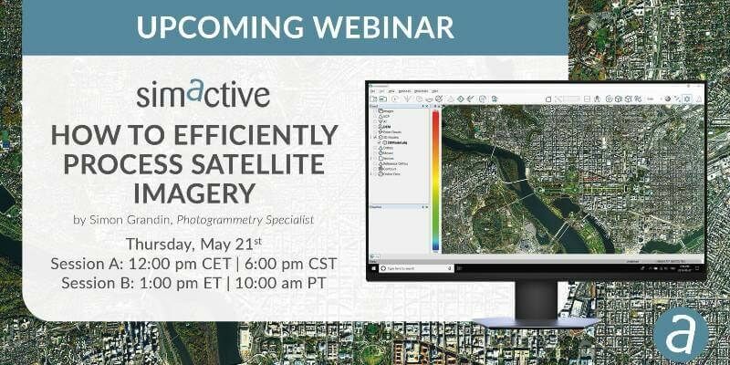
11th May 2020
SimActive Webinar on 'How to Efficiently Process Satellite Imagery'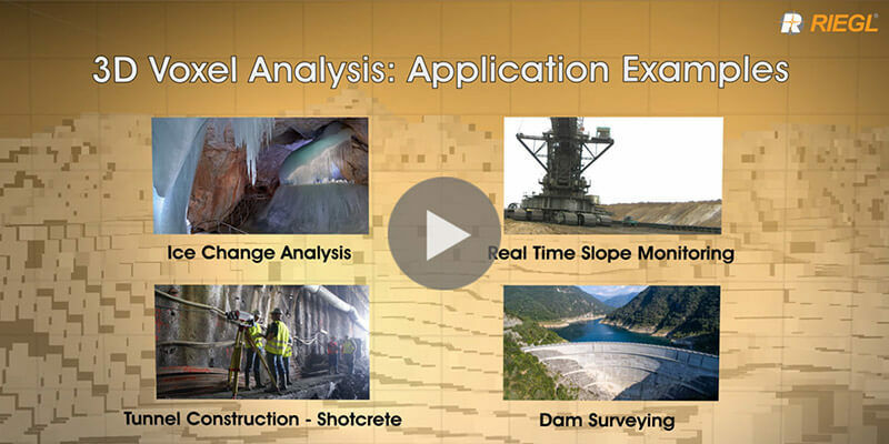
8th May 2020
Riegl's new 3D Voxel Analysis Tool within RiSCAN Pro
5th May 2020
Introducing the Phase One 280MP Aerial Solution
5th May 2020
4 Earth Intelligence launches online Training and networking opportunities
26th February 2020
New Camera to make Crop Disease Detection Easier and Less Expensive
28th January 2020
Hexagon Unveils M.App X 2020 for Enhanced Imagery Intelligence
3rd December 2019
Getmapping partners with 3D Visualisation Technology Leaders
8th October 2019
DGI 2020 - The World’s Leading Geospatial Intelligence Conference - Preview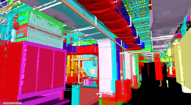
22nd August 2019
Pointfuse Laser Scanning Software Transforms Digital Construction Workflows
19th August 2019
Delta State University Earns USGIF Collegiate Accreditation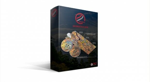
28th June 2019
PCI Geomatics Releases Geomatica 2018, Service Pack 226th June 2019
Geospatially Optimized Digital Asset Management Solution
20th June 2019
AECOM Uses Bluesky Tree Map to Assess Risks to Infrastructure4th June 2019
SimActive Releases Version 8.2 for Processing of Multispectral Imagery
31st May 2019
Envitia Selected by US Army Geospatial Center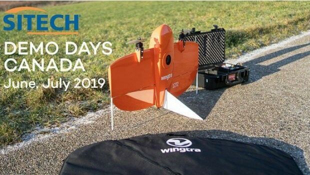

29th May 2019
Leica Geosystems opens nominations for Carl Pulfrich Award 2019
28th May 2019
Sercel Delivers Five 508XT Acquisition Systems to ONGC in India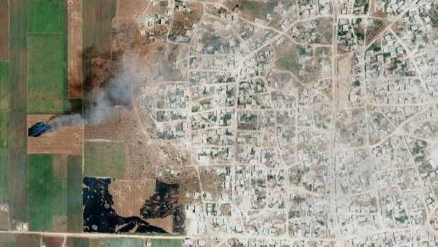
28th May 2019
Satellite Imagery: Syrian Government Offensive in Idlib Province, Syria24th May 2019
Extensis to Cameo Digital Asset Management Solution
23rd May 2019
Likely Russian Bombers Intercepted Near Alaska
23rd May 2019
Topcon announces advanced Bentley integration
23rd May 2019
Descartes Labs to Demonstrate Global-Scale Predictive Intelligence
21st May 2019
Space Flight Laboratory to Highlight ‘Gray Jay’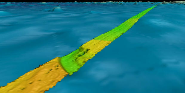
20th May 2019
Fugro supports two ocean mapping initiatives

16th May 2019
360-degree camera provides ground-based imaging following weather disasters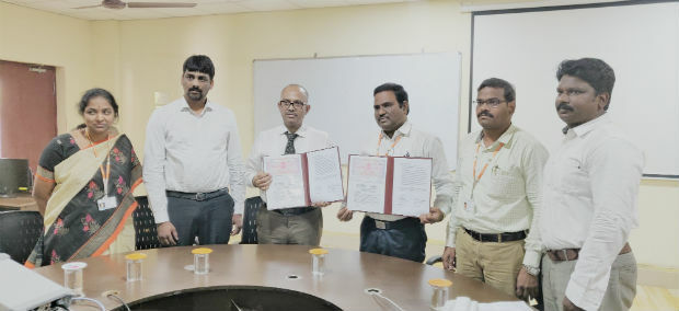
16th May 2019
Terra Drone India and Vignan University set up drone lab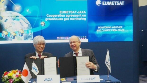
14th May 2019
EUMETSAT, Japanese space agency to cooperate on greenhouse gas monitoring
14th May 2019
SimActive Software Enables Processing of Wingtra Drone Data14th May 2019
Bentley Systems Announces the Availability of OpenBuildings Station Designer14th May 2019
PCI Geomatics to showcase Analysis Ready Data tools
7th May 2019
TCarta teams up with King’s College London and wins ESA Funding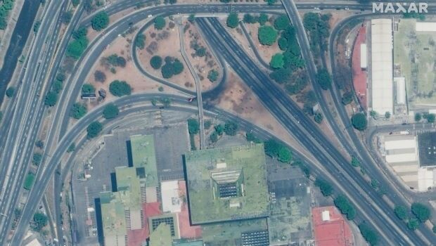
1st May 2019
Satellite Imagery: Caracas, Venezuela Protests
30th April 2019
Wingtra partners with 3DR to offer a complete aerial surveying solution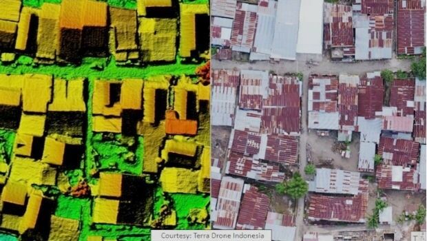
26th April 2019
Terra Drone Indonesia Performed Baseline Modeling-Airbus-Orbital-Insight.jpg)
24th April 2019
Airbus and Orbital Insight launch Earth Monitor22nd April 2019
GeoCue Releases New and Improved Way to Access Public LIDAR and Image Data
18th April 2019
PARIS: Satellite Images of Notre Dame Cathedral