
RIMS BV: external specialist for use of drones during surveys
30th November 2017
RIMS BV: external specialist for use of drones during surveys
30th November 2017
RIMS BV: external specialist for use of drones during surveys30th November 2017
OGC seeks public comment on CDB Multi-spectral Imagery Extension29th November 2017
Global Mapper Available with Photogrammetric Point Cloud Generation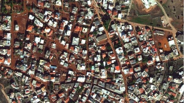
28th November 2017
Satellite Images of West Attica Flood Help Government Response
22nd November 2017
The world is on the brink of a technological revolution
22nd November 2017
Martek Establish Dedicated Maritime Unmanned Aviation Division
21st November 2017
CGG Announces Availability of Broadband High-Resolution Images
21st November 2017
Satellite Images of Turkey Show Whirlwind Damage17th November 2017
Global Mapper SDK Now Available on Amazon Web Services17th November 2017
New Version of Trimble eCognition Suite available16th November 2017
“What will the weather be like?” – “Like this!”14th November 2017
Golden Software Releases Surfer® 2D and 3D
13th November 2017
European Space Imaging celebrates 15 years of success10th November 2017
Airbus receives go-ahead for twin GRACE-FO satellites10th November 2017
East View Geospatial Signs Reseller Contract with UrtheCast
3rd November 2017
Connected Vehicle Camera Footage Highlights Dangers of Rural Roads2nd November 2017
Airbus-built EchoStar 105/SES-11 satellite now in geostationary orbit1st November 2017
2018 ISPRS Call for Educational and Capacity Building Initiative
28th October 2017
WorldView Global Alliance User Conference 2017 Report26th October 2017
OS International partners with Tanzania and the World Bank
26th October 2017
Orbit GT updates 3D Mapping Cloud with great new UAV support26th October 2017
PCI Geomatics Signs MOU with AGH University, in Krakow, Poland24th October 2017
Orbit GT launches new Feature Extraction product for Drones23rd October 2017
Orbital Witness wins Airbus’ Global Earth Observation Challenge18th October 2017
Enhanced and Improved Functionalities for New Release of Global Mapper
4th October 2017
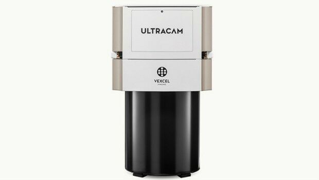
Vexcel Imaging introduces the new UltraCam Eagle Mark 3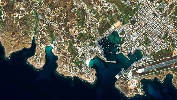
3rd October 2017
Satellite Images show Europe's diversity in new book26th September 2017
Partnership Offers Analysis Software for Scholarship Winners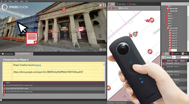
26th September 2017
New SphereVision 360 Imaging System Launched at Intergeo
26th September 2017
SSTL announces NovaSAR-S data deal with Australia’s CSIRO18th September 2017
Northern Ireland’s SMEs look to Space for new business opportunities16th September 2017
3G Vehicle Cameras Prove Liability and Defend Against Claims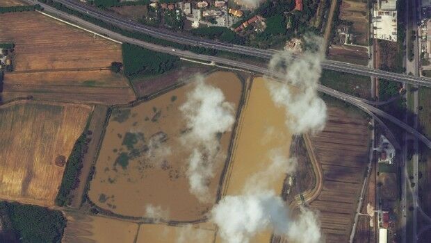
15th September 2017
Italy: Satellite Images of Flooding in Livorno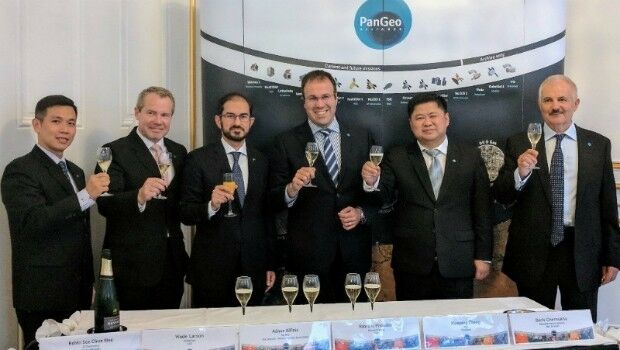
14th September 2017
The PanGeo Alliance welcomes a new member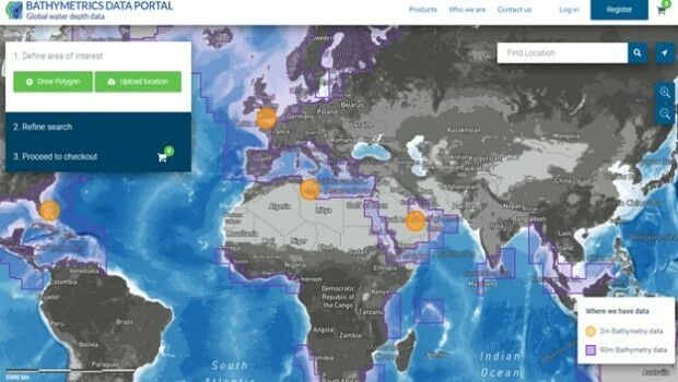
14th September 2017
New Bathymetrics Data Portal delivers quality water depth data online13th September 2017
PCI Geomatics Releases Geomatica 2017, Service Pack 1_Airbus_DS.jpg)
12th September 2017
Airbus to reshape Earth observation market12th September 2017
Drone Software Donation for Hurricane Recovery1st September 2017
Free Global Mapper to Organizations Responding to Hurricane Harvey16th August 2017
Global Mapper Certification Classes in Atlanta and Ottawa Announced8th August 2017
Skyline Software Systems Releases Photomesh 7.2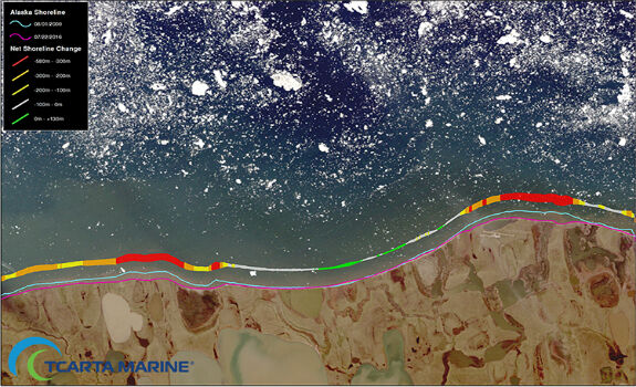
8th August 2017
TCarta Marine Changes the Way Dynamic Environments are Managed