Comprehensive Modeling Environment for Multidiscipline Collaboration
22nd October 2018
Comprehensive Modeling Environment for Multidiscipline Collaboration
22nd October 2018
Comprehensive Modeling Environment for Multidiscipline Collaboration19th October 2018
Spectra Precision Announces Name Change and a New Brand Identity19th October 2018
Government of Canada to Invest $7.2 Million in exactEarth
19th October 2018
Remote GeoSystems Releases New MISB FMV Module18th October 2018
Apps from Avineon Now Available in the ArcGIS Marketplace18th October 2018
Geospatial Media and Communications announces GEO|Design+BIM Awards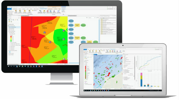
18th October 2018
Exprodat Upgrades Exploration Software to ArcGIS Pro18th October 2018
Hexagon Geosystems at GEO|Design+BIM 2018
17th October 2018
OceanWise supplies new Tide and Weather Systems to all ABP South Wales Ports
17th October 2018
High-End Seismic Imaging Solves Shallow Gas Challenges17th October 2018
Geomni Forms Strategic Alliance with Skyline Software Systems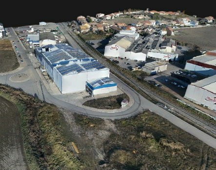
17th October 2018
Trimble Inpho Software Suite Extends Photogrammetric Deliverables
17th October 2018
Siemens and Bentley Systems Announce Integrated APM Solution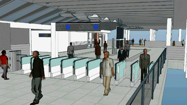
17th October 2018
Bentley Systems Acquires LEGION, Leading Pedestrian Simulation Software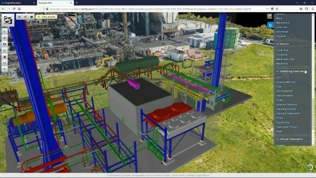
17th October 2018
Siemens and Bentley Systems announce PlantSight™17th October 2018
Bentley Acquires Agency9 to Realize Digital Twins for Every City17th October 2018
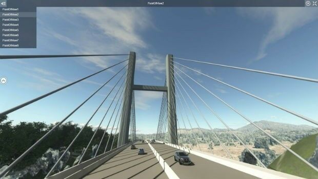
Going Digital (Twins): Bentley Inaugurates iTwinTM Services!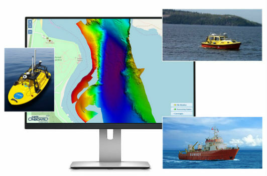
16th October 2018
Teledyne CARIS to Present on Process Automation and Machine Learning16th October 2018
Clickadu chooses Digital Element’s IP intelligence solution
16th October 2018
GeoSLAM Welcomes New Member Of ZEB Family For Indoor + Outdoor Use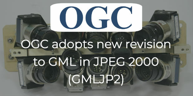
16th October 2018
OGC adopts new revision to GML in JPEG 2000 (GMLJP2)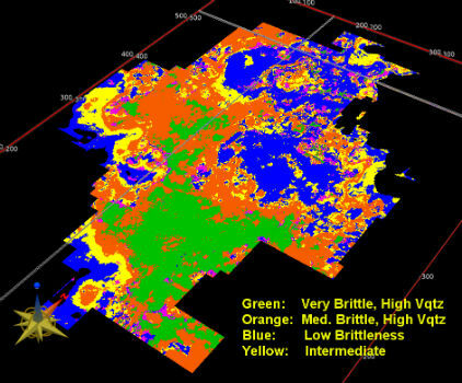
16th October 2018
Modern Facies Analysis Brings Greater Accuracy to Reservoir Models16th October 2018
Meet the latest GeoTech and PropTech companies

15th October 2018
Swift Navigation and Carnegie Robotics Introduce Duro Inertial
15th October 2018
Golden Software Releases Preview of Enhanced Scientific Graphing Package
12th October 2018
Topcon announces speaking presentations for Year in Infrastructure 2018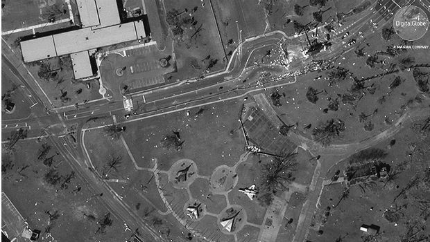
12th October 2018
Hurricane Michael Aftermath in Panama City and Tyndall AFB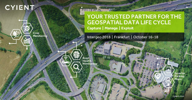
12th October 2018
Cyient to Launch Geospatial Data Exploitation Solutions at Intergeo 2018
12th October 2018
Orbit GT signs strategic Smart Mapping deal with Singapore Land Authority at Embassy12th October 2018
Boundless Partners with the United Nations on the UN Open GIS Initiative12th October 2018
Global Mapper Adds Online Access to NEXTMap One™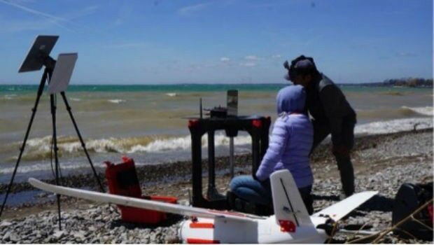
12th October 2018
Aeromao Inc. announces the Aeromapper Talon Amphibious
11th October 2018
Navsight Land/Air Solution: Powerful New Inertial Navigation Solution
11th October 2018
Novel LIDAR Data Improves Our Understanding Of Tropical Forests
11th October 2018
MALLORCA: Small Island hit by Flash Flooding11th October 2018
Meet the latest GeoTech and PropTech companies
11th October 2018
Premiere of the EUROPEAN DRONE SUMMIT on 15 October in Frankfurt a.M.
10th October 2018
PTC PLM to Enable Development of Volocopter’s Autonomous Air Taxis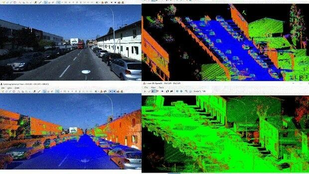
10th October 2018
SITECO's NEW Road-SIT Survey v. 7.0 AT INTERGEO 2018
10th October 2018
Orbit GT and Mitsubishi to co-operate and demo at Intergeo, Frankfurt.10th October 2018
Hexagon Digitalizes and Democratizes the Census Process
9th October 2018
Spottitt Launches Cloud-Based Geospatial Data Analysis9th October 2018
Platform161 enhances advertising platform with NetAcuity Pulse9th October 2018
Hexagon presents solutions for smart digital realities at INTERGEO