
Airbus adds new service Verde to its precision farming portfolio
4th February 2019
Airbus adds new service Verde to its precision farming portfolio4th February 2019
Airbus adds new service Verde to its precision farming portfolio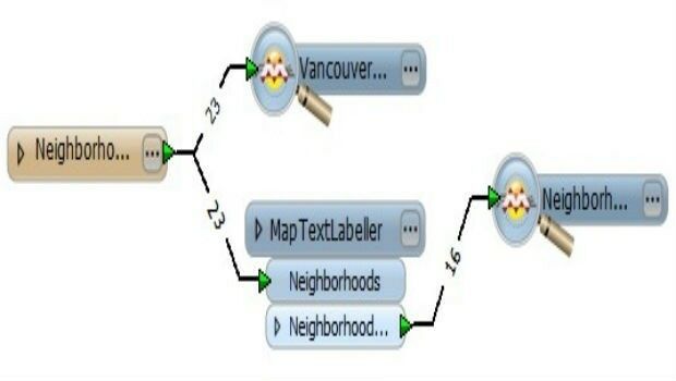
4th February 2019
Instituto Geografico Nacional (IGN) Has Signed With Recursos Tecnicos Madrid, S.L.,31st January 2019
Digital platform supported by IBM, Geovation and Ordnance Survey31st January 2019
Esri Releases New Updates to ArcGIS Pro 2.3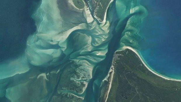
31st January 2019
Earth-i Updates Satellite Map of Queensland, Australia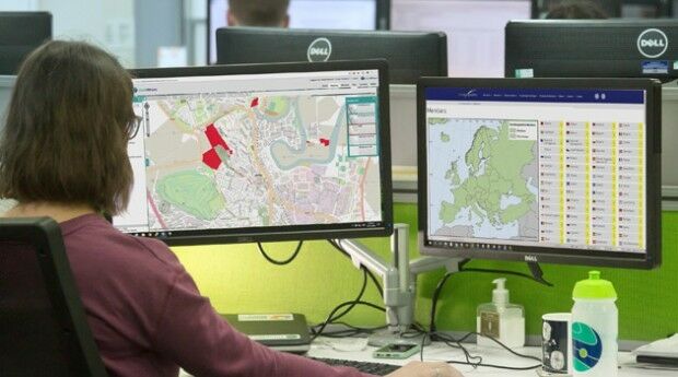
31st January 2019
thinkWhere Creates Map Portal for Open European Geographic Data

30th January 2019
OGC Announces Open Invitation to Tender for Testbed-15 ESA Threads30th January 2019
Esri Helps Government Agencies Meet New Open Data Law Requirements30th January 2019
Ordnance Survey make map toolkit for developers
28th January 2019
GeoPlace recognises ‘Britain’s Most Fantastic Address’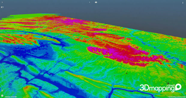
25th January 2019
Orbit GT brings 3DEP online on 3D Mapping Cloud
25th January 2019
Elaine Lewis becomes Non-Executive Director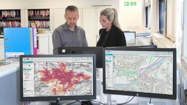
24th January 2019
thinkWhere Helps Falkirk Tackle Poverty with Open Geographic Data23rd January 2019
Telefónica and Samsung Utilize LuxCarta’s Advanced Geodata
23rd January 2019
Virtual Surveyor 6.2 Now Processes Larger Drone Survey Projects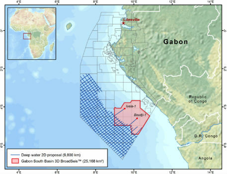
23rd January 2019
New CGG Survey Supports Gabon’s 12th Offshore Licensing Round
23rd January 2019
Andy Boutle, Sarah Davidson & Shaun Farrell join the UK BIM Alliance21st January 2019
Geovation Programme returns for 2019 to help start-ups break through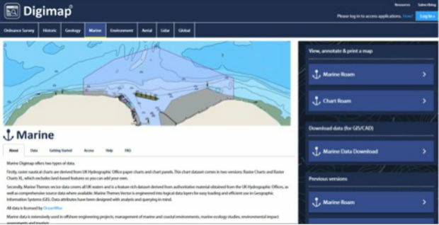
19th January 2019
Students and Researchers now benefit from access to OceanWise Marine Mapping via Digimap™17th January 2019
Sercel and Apave Enter Strategic Partnership
17th January 2019
Cadcorp announces Local Government Conference dates
16th January 2019
Feasibility of Guidance for First Responder Body-worn Sensors16th January 2019
Hexagon’s Geospatial Division Releases Luciad V2018.1
16th January 2019
CGG Continues to Expand Anadarko Basin Library
16th January 2019
OGC Seeks Public Comment on GroundwaterML v2.3 Candidate Standard
14th January 2019
New member appointed to the GeoPlace Board
14th January 2019
URISA Announces 2019-2020 Vanguard Cabinet of Young Professionals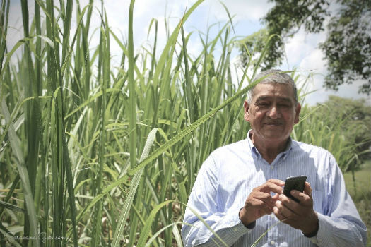
11th January 2019
SIAP joins Rezatec on UK Space Agency COMPASS project
10th January 2019
Experience strongest ever SLAM with GeoSLAM's upgrade any SLAM device campaign10th January 2019
Cyient Positioned as an “Established and Expansive” Player10th January 2019
Azteca Systems Opens Regional Office in Indiana
9th January 2019
Geospatial Information Technologies at the AAG Annual Meeting
9th January 2019
Bristol Water renews annual subscription with Rezatec9th January 2019
Cambridge-Based GeoSpock Secures £10 Million Additional Funding
9th January 2019
Request for Information: “Mixed Reality to the Edge”9th January 2019
Join the next 1-day Marine Data Management Awareness Course
4th January 2019
Tory Elmore Named URISA Young Professional of the Year3rd January 2019
HERE secures top spot in Strategy Analytics' 201827th December 2018
Next Generation GPS III Satellite Responding to Commands27th December 2018
PCI Geomatics Announces Remote Sensing Young Scholars Program
21st December 2018
GAF has been awarded a Framework Contract by the European Union Satellite Centre21st December 2018
FREE Registration Opens for Ocean Business 2019
21st December 2018
OGC Announces its 110th Technical and Planning Committee Meeting