
GIS4SmartGrid 2018, 20-22 November, Amsterdam, Smart Grid Forums
9th October 2018
GIS4SmartGrid 2018, 20-22 November, Amsterdam, Smart Grid Forums9th October 2018
GIS4SmartGrid 2018, 20-22 November, Amsterdam, Smart Grid Forums
8th October 2018
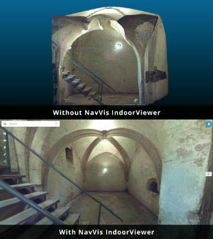
NavVis IndoorViewer converts static scans into immersive 360° imagery
8th October 2018
Highways Surveyors map out a new direction with Saber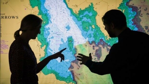
8th October 2018
UK Hydrographic Office to unlock the value of location-based information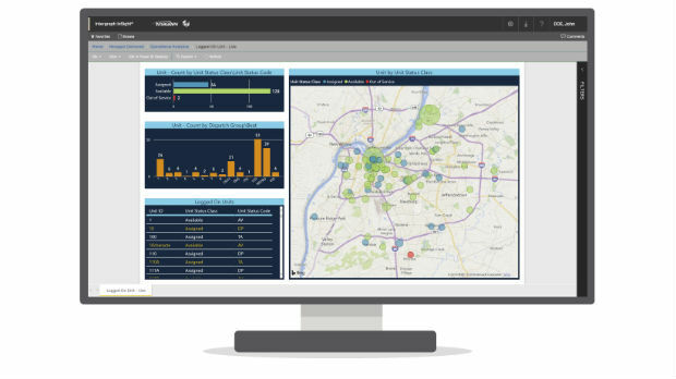
8th October 2018
Hexagon Launches Public Safety Data Visualization and Analytics Software5th October 2018
URISA Releases White Paper Defining the Boundaries of Practice4th October 2018
Esri Incorporates BuildingFootprintUSA Data for Deep Learning
4th October 2018
HERE Technologies introduces HERE XYZ, a new cloud service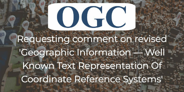
4th October 2018
OGC requests comment on candidate standard: Geographic Information
3rd October 2018
Orbit GT opens Singapore office to support APAC region expansion
3rd October 2018
USGIF Launches Third Annual EdGEOcation Giving Campaign3rd October 2018
Abstracts for ION ITM 2019 and PTTI 2019 are due October 103rd October 2018
GNSS SDR Medadata Standards Public Comment
3rd October 2018
Dr. Oliver Montenbruck Receives Johannes Kepler Award
2nd October 2018
RIEGL to Attend and Exhibit at IACP 2018!2nd October 2018
Extensis and LizardTech Unite as One Company
2nd October 2018
PDF3D Helps IronCAD Integrator Add 3D Parts List Publishing
2nd October 2018
Rezatec provides AHDB with innovative geospatial data analytics2nd October 2018
PCI Geomatics Releases Geomatica and GXL 2018
1st October 2018
Free Highway Exits & Interchanges Data for Use with Maptitude 2018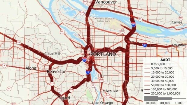
1st October 2018
Free U.S. Traffic Count Data for Use with Maptitude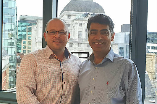
1st October 2018
DYWIDAG-Systems International (DSI) Acquires Datum Group
1st October 2018
UltraCam Panther & UltraMap Terrestrial v1.0 released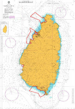
1st October 2018
UK Hydrographic Office conducts seabed mapping in St Lucia
1st October 2018
OceanWise provides mapping data and expertise to Blue Marine
29th September 2018
Orbit GT to exhibit and showcase new releases at INTERGEO, Frankfurt28th September 2018
Boundless launches intuitive GIS Learning Platform, Boundless Learning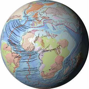
28th September 2018
Getech Releases Globe 2018 for Improved Basin Screening and Exploration28th September 2018
Esri Talks Blockchain Readiness at CSCMP EDGE 2018
27th September 2018
Joining the dots with new viaEuropa vector tile service from Europa26th September 2018
Geovation helps establish GeoTech and PropTech26th September 2018
Driving geospatial innovation in Singapore and the United Kingdom

25th September 2018
Elane Inc. procures OceanWise Web Mapping Service
25th September 2018
NM Group undertake Machine Learning research project25th September 2018
USGIF Report on Geospatial Intelligence & Community Resilience25th September 2018
Discover more with new OS Maps 3D feature (WITH VIDEO
24th September 2018
European Space Imaging Awarded €20 Million Maritime Contract
20th September 2018
Artificial intelligence has great strength in the interpretation of geodata
20th September 2018
Teledyne CARIS’ Burns Foster to debut advanced algorithms20th September 2018
PCI Geomatics Completes Historical Airphoto Mapping Project20th September 2018
Esri Location Intelligence Empowers Innovation
20th September 2018
Bob Erickson Joins CSA Ocean Sciences Inc.
20th September 2018
Pix4D Accelerates Growth With A New Office In Madrid