
2015 Esri User Conference - 360-degree Spectrum of Applications
1st August 2015
2015 Esri User Conference - 360-degree Spectrum of Applications
1st August 2015
2015 Esri User Conference - 360-degree Spectrum of Applications
26th June 2015
Powering responses to RIIO with geospatial


10th October 2014
Cutting costs in aerial surveying by combining LiDAR and hyperspectral imaging

.jpg)
15th August 2014
Esri User Conference 2014: GIS – Creating Our Future16th July 2014
Hexagon Geosystems acquires Geodata Diffusion SAS
26th June 2014
The promise of discrete global grid systems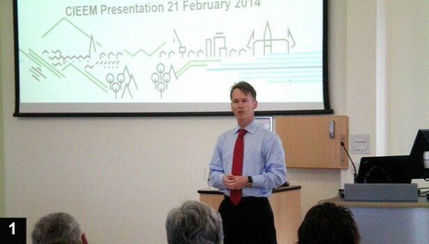
25th June 2014
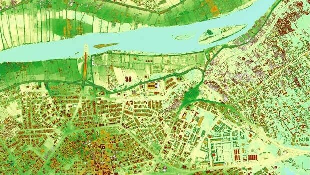
GIS and Remote Sensing for habitat mapping
11th June 2014
Fast food, festivals and free-range marketing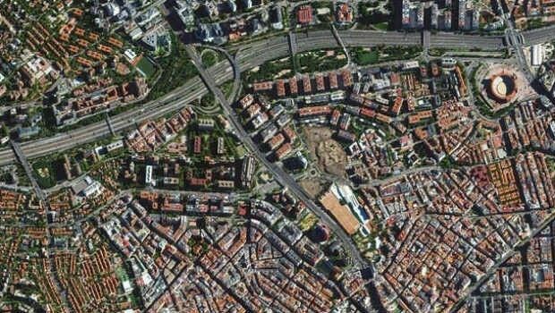
11th June 2014
Trends in the Optical Commercial Remote Sensing Industry - Part 2


29th October 2013
Researchers explore how geographic information systems can help in the West Bank
11th October 2013
New initiative to support $40 billion smart cities in the UK

5th July 2013
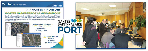
Nantes Saint-Nazaire port authority assesses implementation of STAR-APIC Elyx GIS suite
13th June 2013
Sandia probability maps help sniff out food contamination13th June 2013
Mapping tool creates one-stop shop for resilience forum

8th February 2013
AGI at the crossroads: an interview with Anne Kemp15th November 2012
MapMechanics’ technology underpins fire response prediction tool
14th September 2012
Corpus Christi, Texas Steps into 3D GeoDesign and Emerges a Winner31st August 2012
Mapping Britain on horseback: promoting safe off-road access
17th July 2012
From ocean floor to church spires - TerraImaging