
BigChange Mobile Workforce App & Telematics Speeds Road Gritting Operations
13th February 2020
BigChange Mobile Workforce App & Telematics Speeds Road Gritting Operations
13th February 2020
BigChange Mobile Workforce App & Telematics Speeds Road Gritting Operations
13th February 2020
Forestry Commission Uses Aerial Photography to Create Forest & Woodland Maps
12th February 2020
LiDAR technology helps reveal radiation hotspots at Chernobyl
9th February 2020
How to Optimize Accuracy of Drone Mapping Projects'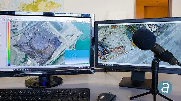
4th February 2020
SimActive Announces New Drone Training Program for Mapping
30th January 2020
Hexagon Acquires of COWI's Mapping Business
30th January 2020
Europa Technologies celebrates 30th anniversary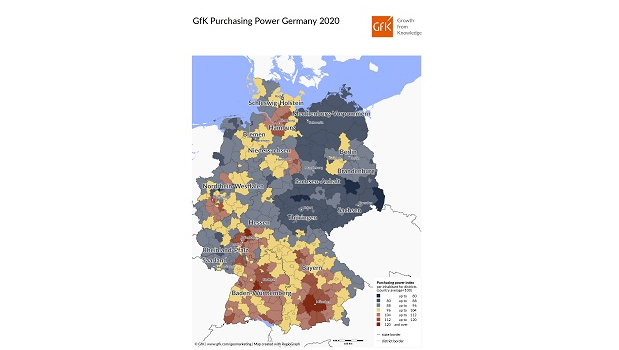
28th January 2020
Map of the Month: GfK Purchasing Power, Germany 2020
17th January 2020
World Bank ropes in Terra Drone group company KazUAV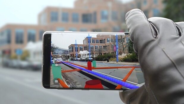
15th January 2020
MGISS and vGIS Take a Geospatial View of Augmented Reality
9th January 2020
Esri to Launch New Spatial Data Science MOOC


20th December 2019
Digital Solutions for the UN SDGs: The WSA Winners 2019
20th December 2019
HERE Technologies welcomes Mitsubishi Corporation and NTT as new investors
17th December 2019
GeoSLAM solution enables quick and easy to stockpile volume analysis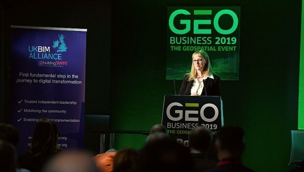
16th December 2019
GEO Business 2020: Call for speakers launched
13th December 2019
Garmin adds the G1000 NXi upgrade for the Embraer Phenom 100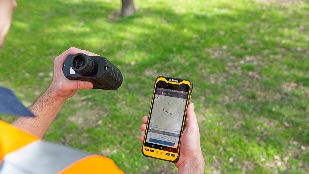
12th December 2019
Extending the Reach of GNSS with LTI Laser Rangefinders
5th December 2019
Blue Marine Foundation’s “Big Marine Data Project”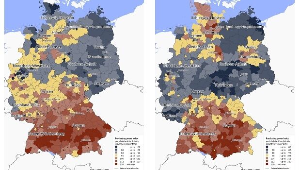

3rd December 2019
Getmapping partners with 3D Visualisation Technology Leaders
29th November 2019
EuroSDR Crowdsourcing Workshop (16 & 17 January 2020)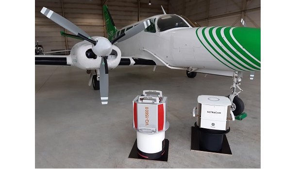
28th November 2019
EUROSENSE expands its mapping capabilities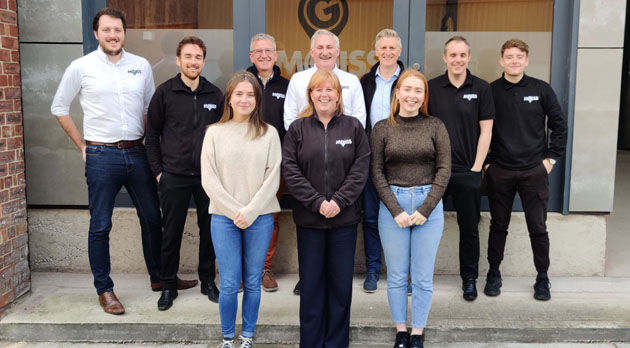
21st November 2019
MGISS Ranked Fourth in North West Tech 50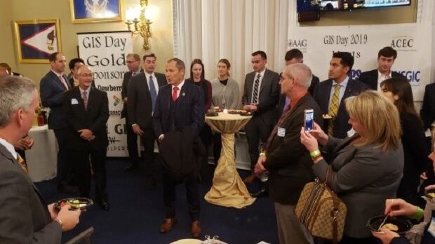
18th November 2019
MAPPS Celebrates 20 Years of National GIS Day on Capitol Hill
14th November 2019
Fugro RAMMS Technology Benefits US Navy Mapping System
5th November 2019
New global CEO for technology innovator Maptek

1st November 2019
UAVOS and Polynesian Exploration up to Creating Autonomous Solution for 3D Mapping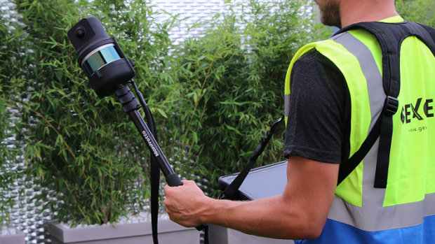
1st November 2019
The Handheld 3D Mapping System with High-res 5K Images

28th October 2019
USGIF Offers First Entry-Level Geospatial Intelligence Certification of its Kind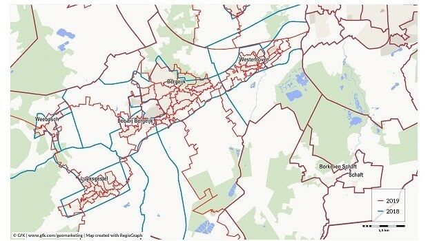
17th October 2019
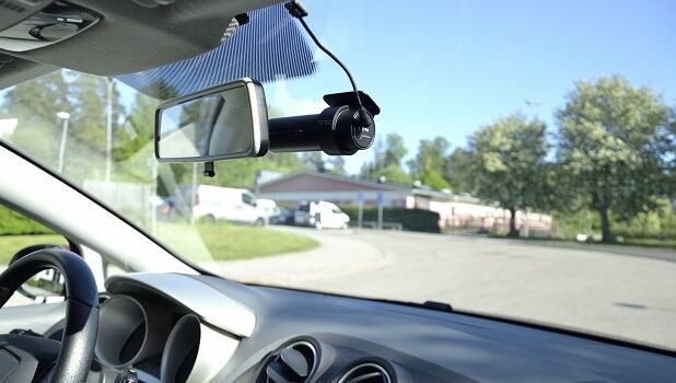
Mapillary launches a mapping dashcam solution
9th October 2019
thinkWhere Appointed Government Digital Specialist
26th September 2019
Bluesky Appoints Jamieson to Drive Innovation in Aerial Mapping Production
25th September 2019
Bluesky Appoints Jamieson to Drive Innovation in Aerial Mapping
25th September 2019
“Streets of Gold” map wins two British Cartographic Society Awards
19th September 2019
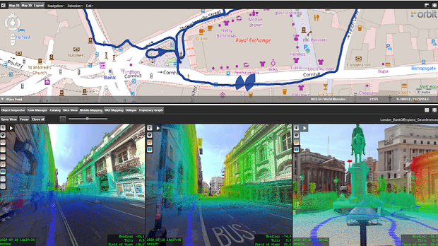
Orbit GT and GeoSLAM, UK, sign Reseller Agreement
17th September 2019
Leica Geosystems announces major efficiency improvement to airborne urban mapping solution5th September 2019
thinkWhere Supports Scottish Government Planning Process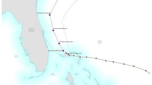
4th September 2019
MapAction supports Hurricane Dorian response


31st July 2019
Cabonline selects HERE as mapping and location services provider