
Geovation Programme seeks new GeoTech and PropTech disruptors
29th January 2018
Geovation Programme seeks new GeoTech and PropTech disruptors29th January 2018
Geovation Programme seeks new GeoTech and PropTech disruptors29th January 2018
Swedish municipality Vansbro chooses Digpro
25th January 2018
HERE to acquire global indoor maps provider Micello
23rd January 2018
Learn the Basics of Mapping with Geographic Information Systems
19th January 2018
HERE appoints Leon van de Pas to lead Asia-Pacific region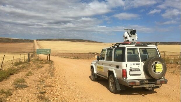
16th January 2018
Getmapping launches Mobile Mapping Survey Solutions to southern Africa
12th January 2018
Geospatial Information Technologies at the AAG Annual Meeting11th January 2018
Avenza Map Store Now Offers More Than 36,000 Maps
10th January 2018
EarthSense Sensors Evidence Clean Air Initiatives for BBC
9th January 2018
Developing Data Ecosystems with the 1Spatial FME World Tour
5th January 2018
HERE and Unifly to map the airspace for drones
2nd January 2018
Fugro Wins Environmental Leadership Award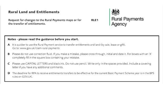
27th December 2017
Mapping blunder puts Britain’s farmers in a spin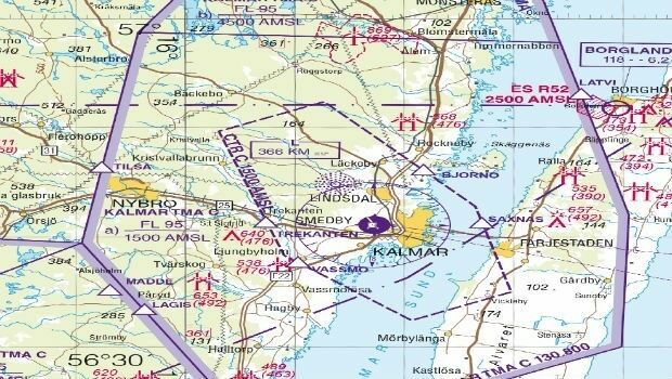
20th December 2017
East View Geospatial Now Offering Swedish Aeronautical Charts
19th December 2017
Landmark Information secures Met Office digital contract13th December 2017
RUAS and Bangor University work together
12th December 2017
New Version of Trimble eCognition Suite available12th December 2017
Personal touch – what Brits really want this Christmas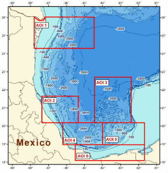
7th December 2017
CGG Releases Multi-Client Airborne GravMag Survey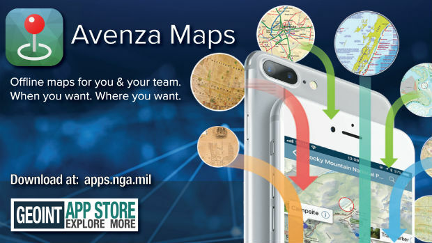
6th December 2017
Avenza Maps iOS App Launches In The GEOINT App Store2nd December 2017
Landmark hosts digital mapping and data workshops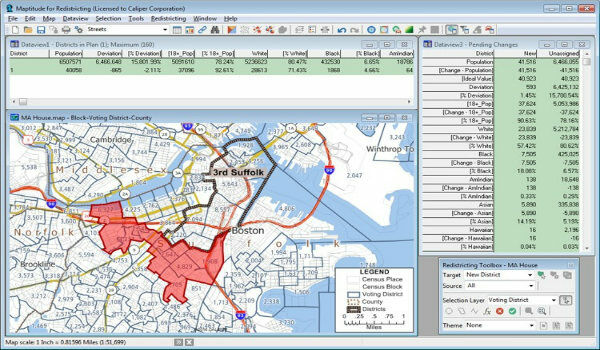
1st December 2017
Learn More About Maptitude for Redistricting28th November 2017
Lido/mPilot 3.0: First step towards fully dynamic navigation maps
23rd November 2017
3D Laser Mapping launches campaign to release open-source LiDAR data
23rd November 2017
Orbit GT releases 3D Mapping Publisher v1822nd November 2017
Active digital map for French Armed Forces
21st November 2017
Free U.S. Traffic Count Data for Use with Maptitude Mapping Software20th November 2017
Announcement EuroSDR 2018 series of e-learning
16th November 2017
Explore South Africa’s National Parks From Your Armchair
16th November 2017
GIS People – Microsoft Australia Partner Awards 2017 Winner!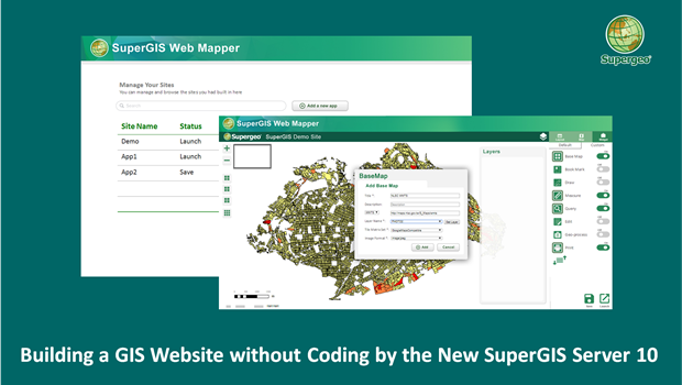
15th November 2017
Building a Unique GIS Website without Coding by Brand New SuperGIS Server 1014th November 2017
Esri and Mobileye to Bring Real-Time Sensor Data to Public Transit14th November 2017
Avenza Releases MAPublisher 10 For Adobe Illustrator14th November 2017
Safe City Framework Unveiled at Smart City World Congress14th November 2017
CACI Boosts Location Planning Services with Mapmechanics Acquisition14th November 2017
Landmark's major relaunch of MAGIC interactive GB mapping service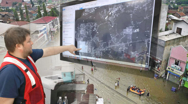
14th November 2017
thinkWhere Powers Humanitarian Disaster Response with OpenStreetMap Tool7th November 2017
ADC WorldMap Releases Digital Atlas Version 7.42nd November 2017
Pitney Bowes and Arrow Electronics sign Agreement
26th October 2017
OS International partners with Tanzania and the World Bank
26th October 2017
Orbit GT updates 3D Mapping Cloud with great new UAV support
25th October 2017
Bluesky's Tree Map Helps Community Forest Rebuild Environment
23rd October 2017
Jack Dangermond to Discuss Earth Observations at GEO Week