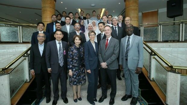
CGG Develops a Centre for Advanced Imaging for PETRONAS
3rd September 2018
CGG Develops a Centre for Advanced Imaging for PETRONAS
3rd September 2018
CGG Develops a Centre for Advanced Imaging for PETRONAS28th August 2018
URISA's GISCorps Announces Community Maps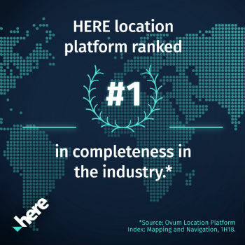
22nd August 2018
"HERE topples Google to take first place" - Ovum*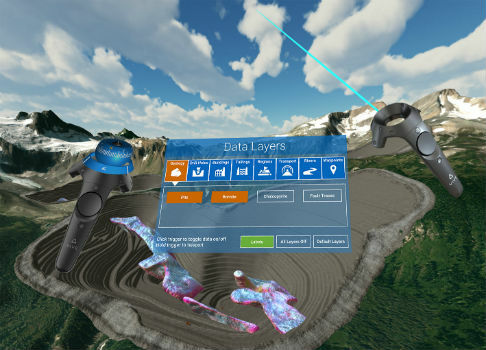
22nd August 2018
Maptek and LlamaZOO bring the mine to brilliant life21st August 2018
TomTom Reaches Mapping Milestone: 1.5bn Updates in a Single Month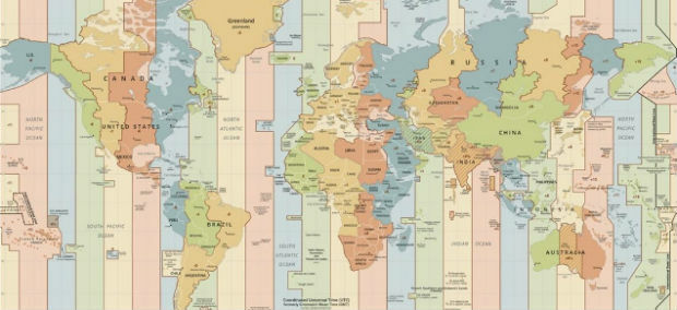
17th August 2018
Microsoft launches Bing Maps Time Zone API16th August 2018
Ordnance Survey underpins UK driverless car testing
16th August 2018
Free Healthcare Data for Use with Maptitude 2018 Mapping Software
16th August 2018
Eos, LaserTech and Esri Introduce Laser Mapping Workflow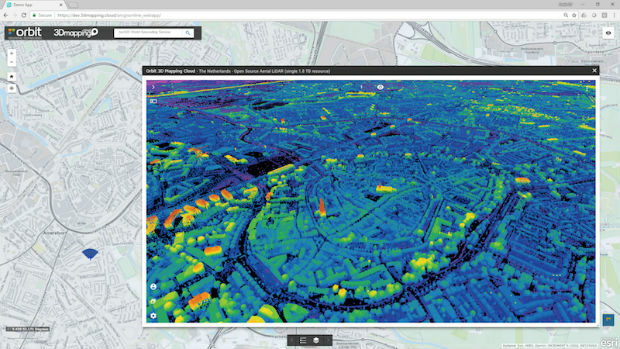
14th August 2018
Orbit GT releases free Esri ArcOnline Widget
13th August 2018
Acquisition Of Data For Norway’s Mareano Seabed Mapping Programme9th August 2018
HERE location platform remains "undisputed" leader
7th August 2018
Renovo and HERE Technologies Form Partnership
7th August 2018
1Spatial adds Linear Reference System (LRS) support to 1Integrate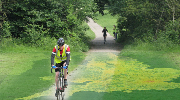
7th August 2018
EarthSense App Promotes Clean Air Routes for Exercise6th August 2018
HERE announces new partnership with Motorola Solutions4th August 2018
Linkfast to Provide Applanix Products and Solutions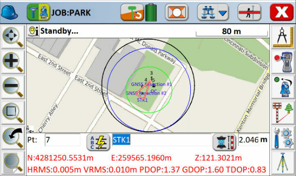
21st July 2018
Carlson SurvCE and SurvPC 6.0 Available Now
17th July 2018
Flann working with NASA on space mission to map Earth’s water
17th July 2018
Aeronyde and Unifly Partner to Build Advanced Drone Systems
7th July 2018
Orbit GT to showcase Geomni Oblique content in ArcOnline/ArcGIS7th July 2018
Ordnance Survey win prestigious industry gong at ukactive Awards
6th July 2018
Take Your Geospatial Research to the Next Level with MapVault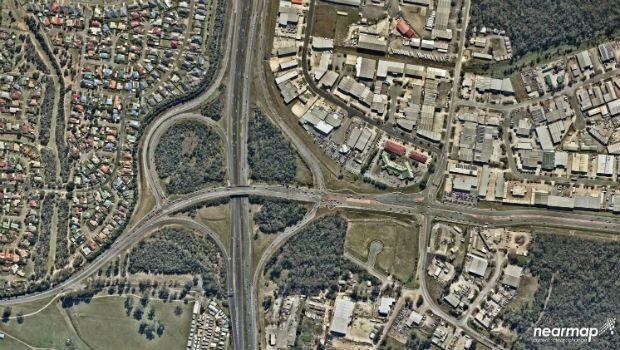
6th July 2018
Mobile Mapping System Helps Australia’s Northgroup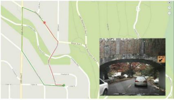
5th July 2018
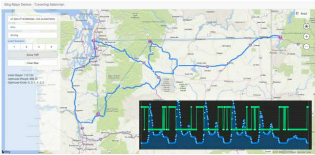
Microsoft solves the vehicle routing problem
28th June 2018
Bluesky Tree Map Helps Insurers Manage Drought Subsidence Risk28th June 2018
SamyoungPNT to Provide Applanix Products and Solutions

28th June 2018
GIS partnership strengthens disaster management in Southeast Asia

23rd June 2018
Free Business Location Data for Use with Maptitude 2018
21st June 2018
Safe Software renews FME Certification for 1Spatial’s Mary O’Brien20th June 2018
Ordnance Survey appoints Philippa Hird as Non-Executive Director
19th June 2018
ObliMapper Transforming Drone Imagery into Actionable Visual Intelligence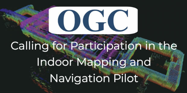
19th June 2018
OGC Calls for Participation in its Indoor Mapping and Navigation Pilot7th June 2018
Going Deeper Underground – Can We Build An Underground Map Of The UK?5th June 2018
HERE and Decawave partner on high-accuracy indoor tracking technology1st June 2018
Fugro’s leadership in advancing global ocean mapping

29th May 2018
NavVis to present M6 indoor mobile mapping system at SPAR 3D25th May 2018
Ordnance Survey announce rise in sales for both paper and digital OS Maps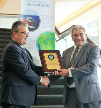
23rd May 2018
Fugro's Contribution To Global Ocean Mapping Earns NOAA Commendation22nd May 2018
Leading location data providers rally around HD Live Map