
Call for Proposals to develop NSDI Metadata Handbook in Namibia
23rd October 2017
Call for Proposals to develop NSDI Metadata Handbook in Namibia23rd October 2017
Call for Proposals to develop NSDI Metadata Handbook in Namibia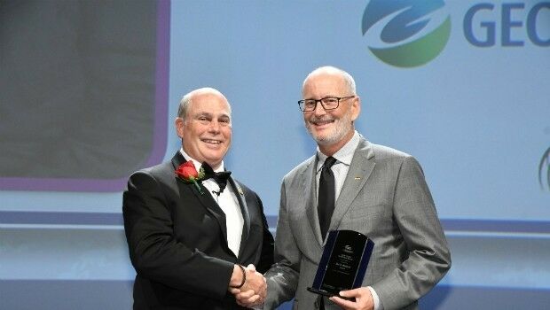
23rd October 2017
Ian MacLeod receives SEG Cecil Green Enterprise Award21st October 2017
NFSP Fire & Rescue Services helped to improve their service21st October 2017
Hexagon Supports Zurich’s Public Transportation Network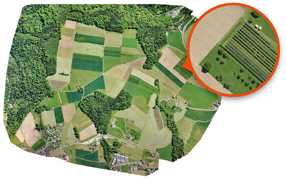

20th October 2017
Maintenance of the utility networks with Mobile Mapping technology18th October 2017
Enhanced and Improved Functionalities for New Release of Global Mapper17th October 2017
Get Outside for National Map Reading Week
13th October 2017
Airborne LiDAR production fully integrated with Leica HxMap workflow
5th October 2017
Geosoft and AcornSI move UXO classification to the cloud5th October 2017
Commercial UAV Expo to include Workshops/Demos/Training4th October 2017
OS GetOutside Champions help the nation to get outside more often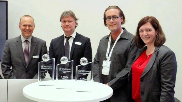
2nd October 2017
LAStools Win Big at INTERGEO Taking Home Two Innovation Awards
30th September 2017
Fugro Wins Highway Data Collection Contract for The State Of Alaska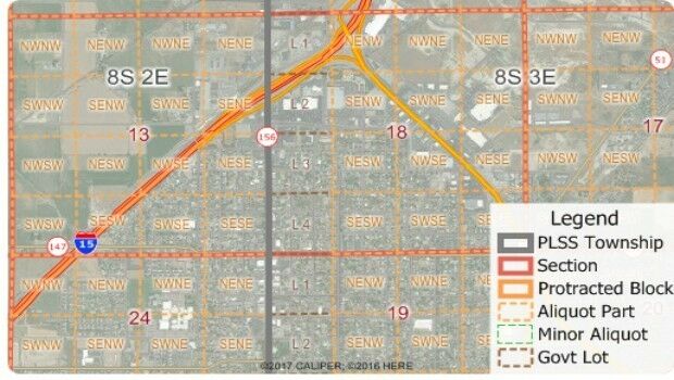
30th September 2017
Free Public Land Survey System (PLSS) Data for Use with Maptitude30th September 2017
Pitney Bowes selects HERE data to aid insurers
28th September 2017
Astun Technology Supports Ordnance Survey
22nd September 2017
Real-Time Construction Quality Management, Advanced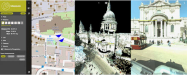
22nd September 2017
Orbit GT to showcase new 3D Mapping Cloud features at Intergeo, Berlin20th September 2017
Phase One Industrial Introduces 190MP Aerial System
16th September 2017
Maptitude Supports High School Course in Geographic Technology
15th September 2017
RENEXPO® BiH 2017 open the doors for the 4th time.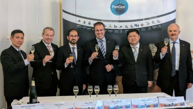
14th September 2017
The PanGeo Alliance welcomes a new member11th September 2017
AND aims to redefine map making & change the mapping industry8th September 2017
MapAction sends two more teams to reinforce Hurricane Irma response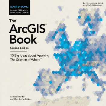
7th September 2017
Put the Science of Where into Practice with The ArcGIS Book
7th September 2017
Customer-Driven Improvements Highlight Carlson Survey 20185th September 2017
SimActive Releases Correlator3D™ Version 7.0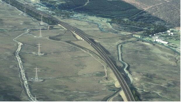
2nd September 2017
Bentley Systems' 2017 Be Inspired Awards Program
24th August 2017
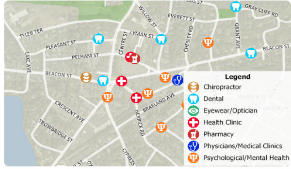
Free Healthcare Data for Use with Maptitude Mapping Software22nd August 2017
Caliper Corporation: 2017 Sustained Growth
22nd August 2017
1Spatial grows its team of Safe Software FME Certified Trainers
20th August 2017
Maptitude Sponsorship for MGGG Geometry of Redistricting Workshops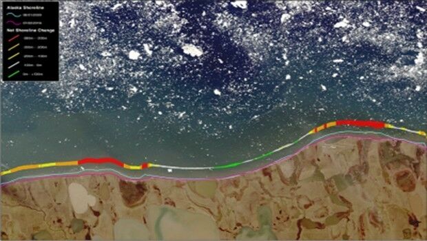
16th August 2017
TCarta Marine change the way dynamic environments are managed
2nd August 2017
GAF AG Signs Distribution Partnership with Planet1st August 2017
Geovation Programme now open to location and land disruptors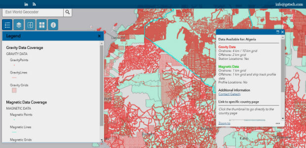
27th July 2017
Explore the World’s Geology with Getech’s Interactive Maps
27th July 2017
Bluesky Aerial Photography Helps Yorkshire Water Keep an Eye on Assets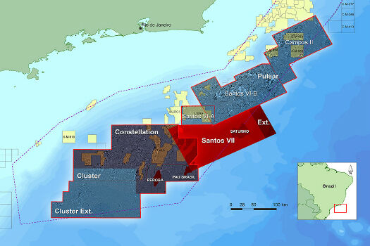
26th July 2017
CGG Extends Santos VII Multi-Client Survey
25th July 2017
Shaping the future of spatial data management and analytics
25th July 2017
1Spatial Awarded Safe Software’s Top Partner Award 2016.jpg)
21st July 2017
TCarta Marine provided with Spatial Data Package for Arabian Gulf20th July 2017
LizardTech and Extensis Optimize Digital Asset Management19th July 2017
Partners in Innovation – HM Land Registry and Ordnance Survey
19th July 2017
Wirral Council migrates existing corporate GIS to Cadcorp