ROC Friese Poort opens Inland Simulator Centre in Urk
13th February 2017
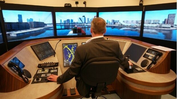
ROC Friese Poort opens Inland Simulator Centre in UrkThe compilation, reproduction and dissemination of maps and charts by means of manual (analogue) or digital techniques, tools and workflows. This topic covers the compilation, reproduction, dissemination and use of both analogue (paper) and digital maps, charts and atlases. As well as the science of cartography, including georeferencing and geocoding, digital techniques for compiling and generating various types of raster and vector maps and charts are covered, as are the digital mapping tools and Geographic Information Systems available for this purpose. The application of cartography for aeronautical, terrestrial and marine purposes is also covered
13th February 2017
ROC Friese Poort opens Inland Simulator Centre in Urk13th February 2017
Prototype for "native LAS 1.4 extension" of LASzip LiDAR Compressor Released
11th February 2017
Esri FedGIS Conference Showcases Cutting-Edge Technology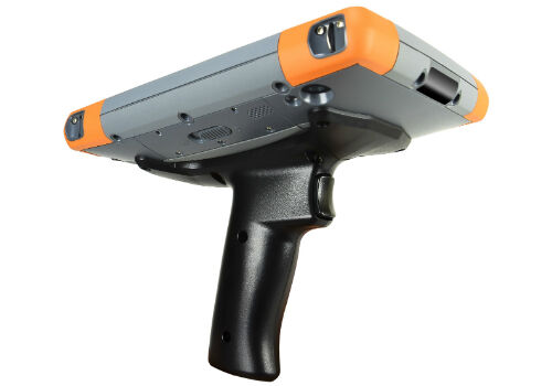
11th February 2017
Pistol Grip Addition to Mesa 2 Rugged Tablet™ for Barcode Scanning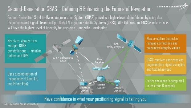
11th February 2017
Geoscience Australia and Lockheed Martin Begin Collaborative Research Project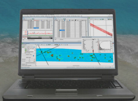
10th February 2017
Geosoft presents Marine Geophysics Technology Showcase at Oceanology International North America
10th February 2017
Fugro Wins Two Prestigious Rail Industry Awards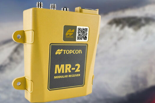
10th February 2017
Topcon GNSS modular receiver integrates with a wide-range of applications
10th February 2017
Ocean Business 2017 to host co-located Maritime Dual-use Events
10th February 2017
Skyline Software Systems Releases PhotoMesh 7.1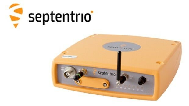
10th February 2017
GNSS technology guarantees DEME's operations in areas of interference10th February 2017
The World’s Smartest Cities According to Unacast’s Report10th February 2017
Commercial Drone Opportunities & Regulation across Europe in 201710th February 2017
Charlotte Is Wired Into Emergency Tree Management
10th February 2017
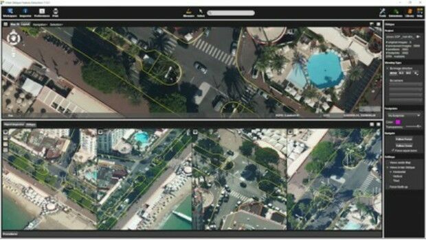
Orbit GT releases Oblique Mapping and Feature Extraction v17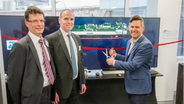
9th February 2017
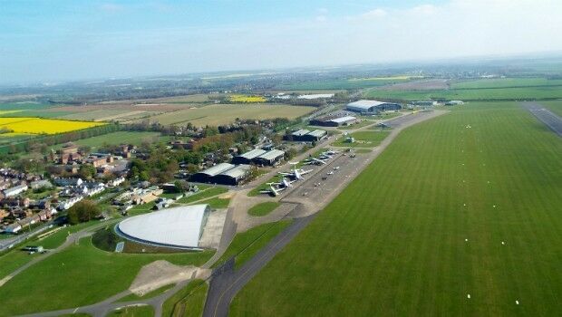
Mayor of Fremantle opens Australia Ship Simulation Centre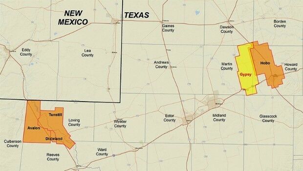
9th February 2017
CGG Delivers Final PreSTM Data for Hobo Multi-Client Survey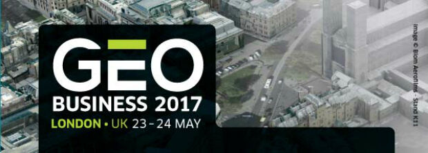
9th February 2017
GEO Business 2017 - Introducing GEO Careers9th February 2017
Aeryon and DroneDeploy Partner to Deliver Enterprise UAS Solutions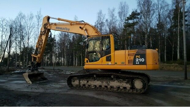
9th February 2017
Leica iCON excavate systems now support SMP Parts AB tilt rotators9th February 2017
Blue Marble's Latest Innovations in the Global Mapper LiDAR Module9th February 2017
HERE and Pioneer-Increment P partnership on global map solution
8th February 2017
Commercial UAV Expo Europe Announces Early Backers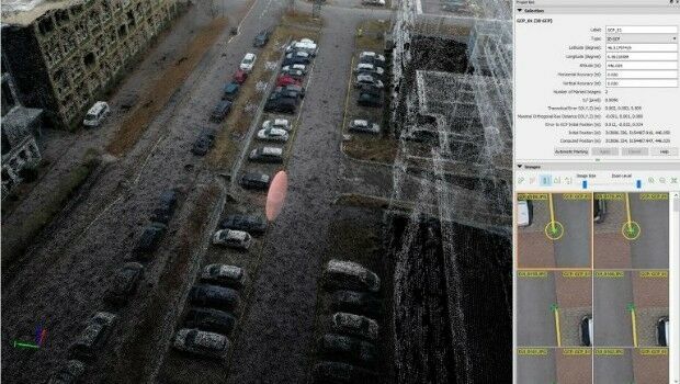
8th February 2017
Achieving best accuracy with error ellipsoid in Pix4Dmapper rayCloud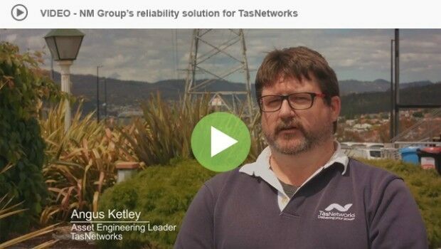
8th February 2017
Geospatial analysis helping TasNetworks improve network reliability8th February 2017
CSA Presents Advanced Coastal Aerial Image Analysis Techniques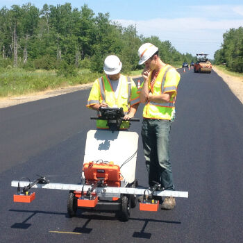
8th February 2017
GSSI Showcases Updated GPR Technology at CONEXPO-CON/AGG 20178th February 2017
The Getech Group Wins OGA 21CXRM Contract8th February 2017
TCarta Marine and Proteus Geo Announce Merger
8th February 2017
PCI Joins the Geological Remote Sensing Group

8th February 2017
Elbit awarded contract to upgrade Helicopters for Asia-Pacific Country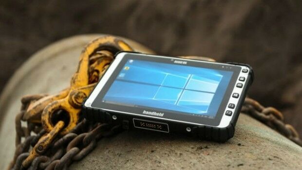
8th February 2017
ALGIZ 8X Rugged Tablet, a New Tough Computer from Handheld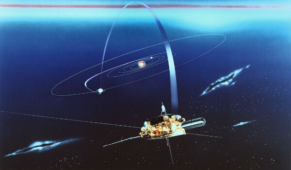
7th February 2017
Fugro’s Below-Ground Picture Supports Above-Ground Operations
7th February 2017
Avenza Releases Geographic Imager 5.2 for Adobe Photoshop7th February 2017
Underground Infrastructure Data for phase 1 to be initiated
7th February 2017
Renishaw releases updated Void Scanner cavity monitoring system7th February 2017
HUBER+SUHNER to showcase mission-critical defense portfolio at IDEX 20177th February 2017
Automated driving Progressed by Internet Of Things
7th February 2017
3D Repo Develop Virtual Reality App for Motorway Construction Workers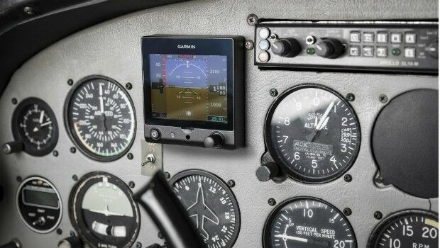
7th February 2017
Garmin® announces EASA approval of the G5 electronic flight instrument
7th February 2017
Future Landscape & Public Realm UAE Conference6th February 2017
Orbit GT to announce disruptive 3D Mapping Cloud solution