
Geodata provides the basis, but collaboration is key
30th April 2019
Geodata provides the basis, but collaboration is keyThe compilation, reproduction and dissemination of maps and charts by means of manual (analogue) or digital techniques, tools and workflows. This topic covers the compilation, reproduction, dissemination and use of both analogue (paper) and digital maps, charts and atlases. As well as the science of cartography, including georeferencing and geocoding, digital techniques for compiling and generating various types of raster and vector maps and charts are covered, as are the digital mapping tools and Geographic Information Systems available for this purpose. The application of cartography for aeronautical, terrestrial and marine purposes is also covered
30th April 2019
Geodata provides the basis, but collaboration is key30th April 2019
Europa Technologies announces v2019.1 of premier global data products
30th April 2019
What’s behind the ground-breaking 3D habitat map of the Great Barrier Reef?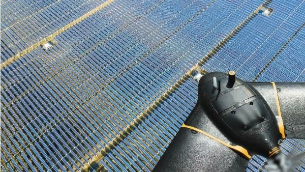
30th April 2019
senseFly introduces the Solar 360 thermal drone solution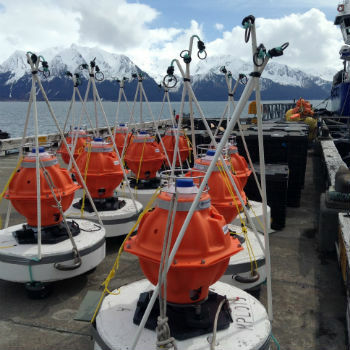
30th April 2019
Sonardyne technology chosen for new Canadian seabed observatory
30th April 2019
Helicopter Robinson Converted by UAVOS to Unmanned Drone30th April 2019
Fortem Technologies and Unifly Collaborate to Keep Airspace Safe
30th April 2019
OGC invites developers to participate in the CityGML Hackathon29th April 2019
Yotta Incorporates Blueprints In Latest Alloy Release29th April 2019
Ordnance Survey and partners to create pilot map of the North East29th April 2019
World-first Artificial Intelligence-based simulation model
29th April 2019
DA-Group and Elbit Systems EW & SIGINT – Elisra Partner
27th April 2019
Geneq Inc. Announces New Website Launch For Its SXblue Products and Services27th April 2019
Cobham Antenna Systems Launches New C-UAS Antenna at AUVSI27th April 2019
Speakers announced for the International OceanTech Symposium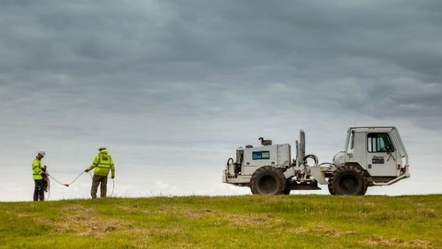
26th April 2019
Fugro’s free seminars reveal the benefits of smart site investigation26th April 2019
Oriient Secures $4M to Finally Bring in-Store Navigation to the Masses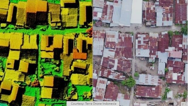
26th April 2019
Terra Drone Indonesia Performed Baseline Modeling26th April 2019
Defence IQ releases its Military Radar Trends and Acquisitions Report for 2019

25th April 2019
Terra Drone and KDDI launch drone infrastructure inspection services
25th April 2019
New ‘OceanReports’ Tool Brings Ocean Data to Your Fingertips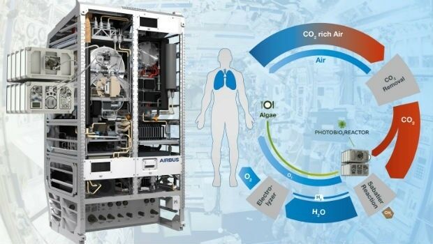
25th April 2019
Photobioreactor: oxygen and a source of nutrition for astronauts25th April 2019
CSA Ocean Sciences Publishes Updated Global Equipment Catalog
25th April 2019
Garmin receives approval for the GFC 500 autopilot in the Cessna 180/18525th April 2019
RIEGL to Attend and Exhibit at AUVSI XPONENTIAL 2019 !
24th April 2019
Brazil’s Civil Aviation Authority Approves senseFly Drones
24th April 2019
Advanced mapping and object tracking technology to be featured at AUVSI 2019-Airbus-Orbital-Insight.jpg)
24th April 2019
Airbus and Orbital Insight launch Earth Monitor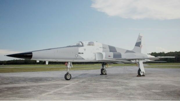
24th April 2019
Garmin® celebrates first flight of G3000 in a supersonic tactical aircraft24th April 2019
RIEGL to Attend and Exhibit at AEC BuildTech 2019!
23rd April 2019
Four Ways Maptitude 2019 Saves You Time & Money23rd April 2019
Airbus appoints Jean-Marc Nasr Head of Space Systems23rd April 2019
INS Technology company wins prestigious award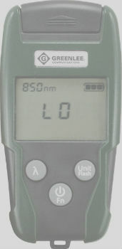
23rd April 2019
Micro Optical Power Meter - Compatible with Single-Mode and Multi-Mode Networks23rd April 2019
Science has not addressed how autonomous cars interact with humans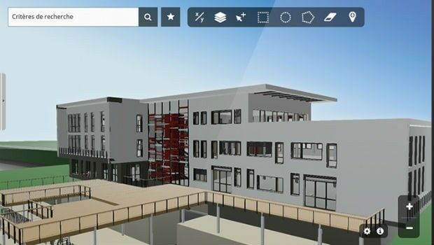
23rd April 2019
Innovation CARL Software presents its new solutions for operational BIM22nd April 2019
GeoCue Releases New and Improved Way to Access Public LIDAR and Image Data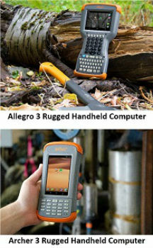
19th April 2019
Juniper Systems Limited Releases Two New Rugged Handheld Computers
18th April 2019
PARIS: Satellite Images of Notre Dame Cathedral18th April 2019
Johannesburg: Siemens launches Atlas of Digitalization

18th April 2019
Satellite Imagery: Before/After of Notre Dame Cathedral Fire17th April 2019
CGG’s Dan Hampson and Brian Russell Honored