Cartography
The compilation, reproduction and dissemination of maps and charts by means of manual (analogue) or digital techniques, tools and workflows. This topic covers the compilation, reproduction, dissemination and use of both analogue (paper) and digital maps, charts and atlases. As well as the science of cartography, including georeferencing and geocoding, digital techniques for compiling and generating various types of raster and vector maps and charts are covered, as are the digital mapping tools and Geographic Information Systems available for this purpose. The application of cartography for aeronautical, terrestrial and marine purposes is also covered

Winner Announced in Younger Geospatial Professional of the Year Award
24th May 2019
Winner Announced in Younger Geospatial Professional of the Year Award
Likely Russian Bombers Intercepted Near Alaska
23rd May 2019
Likely Russian Bombers Intercepted Near Alaska
u-blox announces Markus Schaefer as new Executive Director
23rd May 2019
u-blox announces Markus Schaefer as new Executive Director
GIS-Pro 2019 Student and Young Professional Opportunities Announced
23rd May 2019
GIS-Pro 2019 Student and Young Professional Opportunities Announced
IOT WEEK 2019 – WHERE INNOVATIVE TECH MEETS BUSINESS AND SOCIETY!
23rd May 2019
IOT WEEK 2019 – WHERE INNOVATIVE TECH MEETS BUSINESS AND SOCIETY!
Topcon announces advanced Bentley integration
23rd May 2019
Topcon announces advanced Bentley integration
Descartes Labs to Demonstrate Global-Scale Predictive Intelligence
23rd May 2019
Descartes Labs to Demonstrate Global-Scale Predictive Intelligence


thinkWhere Online Mapping Tool Helps Falkirk Residents Access Essential Services
23rd May 2019
thinkWhere Online Mapping Tool Helps Falkirk Residents Access Essential Services
Industry Players Announce London Geospatial Week for 2020
22nd May 2019
Industry Players Announce London Geospatial Week for 2020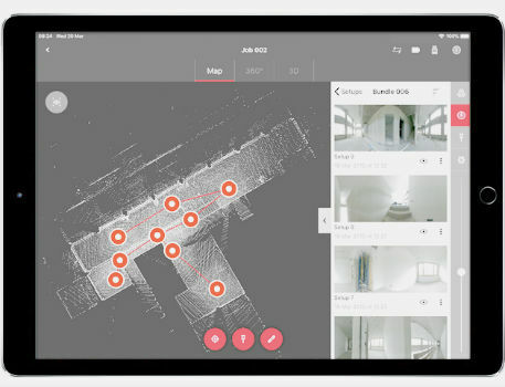
Leica BLK360 software integration announcement
22nd May 2019
Leica BLK360 software integration announcement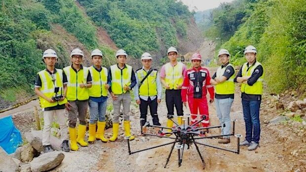
Terra Drone Indonesia shows construction companies benefits
22nd May 2019
Terra Drone Indonesia shows construction companies benefits

Mapillary announces the world's first demand-driven marketplace for map data
22nd May 2019
Mapillary announces the world's first demand-driven marketplace for map data
Trimble Releases Next-Generation Integrated Smartphone and GIS Data Collector
21st May 2019
Trimble Releases Next-Generation Integrated Smartphone and GIS Data Collector
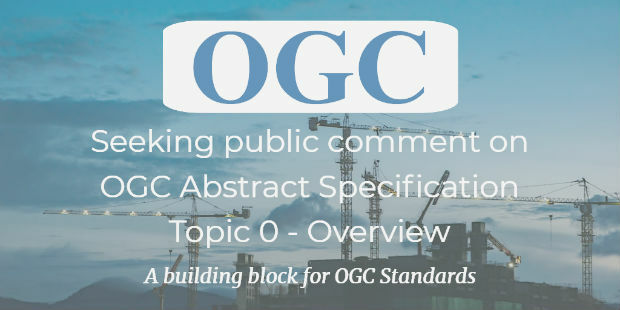
public comment on major revision to OGC Abstract SpecificationTopic 0
21st May 2019
public comment on major revision to OGC Abstract SpecificationTopic 0
Space Flight Laboratory to Highlight ‘Gray Jay’
21st May 2019
Space Flight Laboratory to Highlight ‘Gray Jay’
New Open Payload version of Delair DT26 UAV allows custom configuration
21st May 2019
New Open Payload version of Delair DT26 UAV allows custom configuration_enabling_tru.jpg)
Introducing Multipurpose Autonomous sub-surface Training Target
21st May 2019
Introducing Multipurpose Autonomous sub-surface Training Target
Airbus signs MOU with Hellenic Space Agency for future space cooperation
21st May 2019
Airbus signs MOU with Hellenic Space Agency for future space cooperation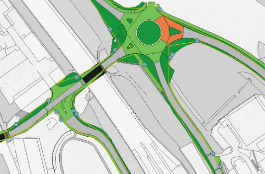
Gaist’s mapping solution could boost efficiency for utilities market
21st May 2019
Gaist’s mapping solution could boost efficiency for utilities market
Sonardyne acquires maritime survey software and construction specialist EIVA
21st May 2019
Sonardyne acquires maritime survey software and construction specialist EIVA
Hemisphere GNSS Announces All-New OEM Positioning & Heading Boards
20th May 2019
Hemisphere GNSS Announces All-New OEM Positioning & Heading Boards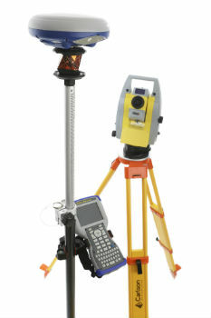
Carlson NR3: New compact, lightweight GNSS Receiver
20th May 2019
Carlson NR3: New compact, lightweight GNSS Receiver
AEC Next and SPAR 3D Expo & Conference Gets Underway Tomorrow
20th May 2019
AEC Next and SPAR 3D Expo & Conference Gets Underway Tomorrow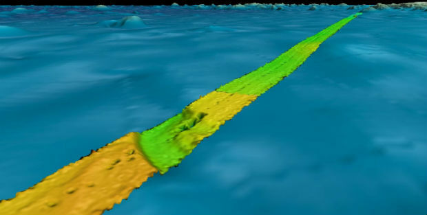
Fugro supports two ocean mapping initiatives
20th May 2019
Fugro supports two ocean mapping initiatives
Topcon accepts John Deere Supplier Innovation Award
20th May 2019
Topcon accepts John Deere Supplier Innovation Award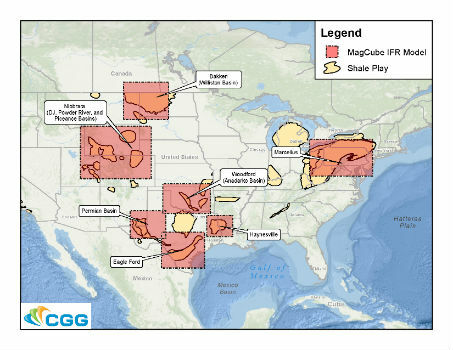

Spectra Group to exhibit at the SOFIC exhibition in Tampa Florida.
20th May 2019
Spectra Group to exhibit at the SOFIC exhibition in Tampa Florida.
Bluesky and Getmapping Embrace XMAP for UK Government
20th May 2019
Bluesky and Getmapping Embrace XMAP for UK Government
ERM Advanced Telematics Enters the Rapidly Expanding Electric Vehicle Market
20th May 2019
ERM Advanced Telematics Enters the Rapidly Expanding Electric Vehicle Market

Get Kids Into Survey comes to GEO Business 2019
19th May 2019
Get Kids Into Survey comes to GEO Business 2019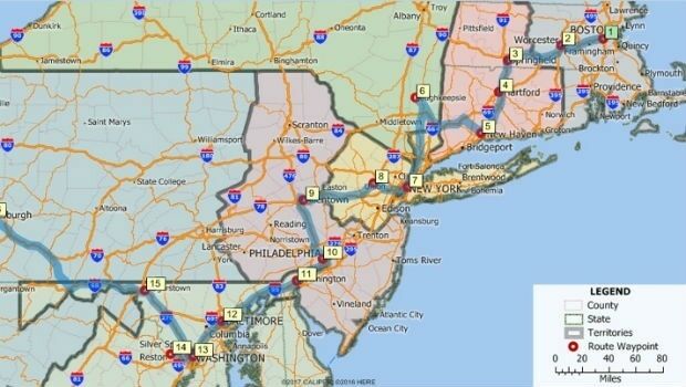
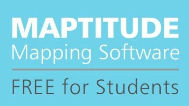
Maptitude 2019 Adds Enhanced MapPoint and Streets & Trips Features
18th May 2019
Maptitude 2019 Adds Enhanced MapPoint and Streets & Trips Features
Orbit GT to exhibit and present at GeoBusiness, London, UK
17th May 2019
Orbit GT to exhibit and present at GeoBusiness, London, UK
Participation Invited on GIS Management Practices Survey
17th May 2019
Participation Invited on GIS Management Practices Survey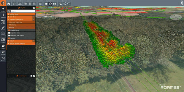
Western Distribution selects Fugro to unlock value from airborne survey data
17th May 2019
Western Distribution selects Fugro to unlock value from airborne survey data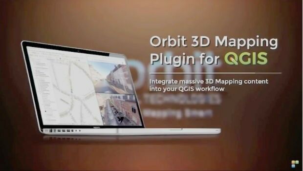
Orbit GT launches 3D Mapping portfolio v19.5 and QGIS plugin update.
17th May 2019
Orbit GT launches 3D Mapping portfolio v19.5 and QGIS plugin update.
SITECO's System for the Emilia Romagna Railways Inspection
16th May 2019
SITECO's System for the Emilia Romagna Railways Inspection
Elsevier supports the American Association of Petroleum Geologists’
16th May 2019
Elsevier supports the American Association of Petroleum Geologists’
OGC seeks public comment on candidate Sensor Model Language (SensorML) v2.1 standard
16th May 2019
OGC seeks public comment on candidate Sensor Model Language (SensorML) v2.1 standard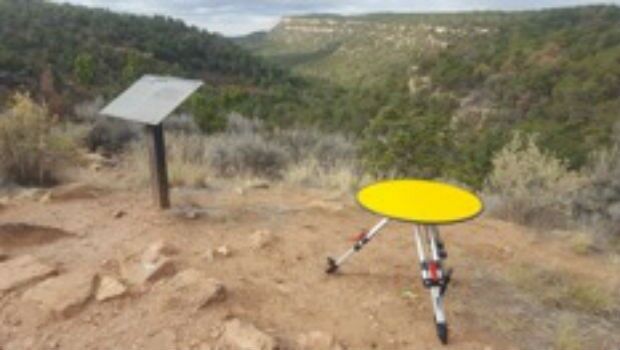
Routescene's improved approach to quantifying accuracy
16th May 2019
Routescene's improved approach to quantifying accuracy
1Spatial acquire GEOMAP-IMAGIS and conclude simultaneous agreement with Esri
16th May 2019
1Spatial acquire GEOMAP-IMAGIS and conclude simultaneous agreement with Esri