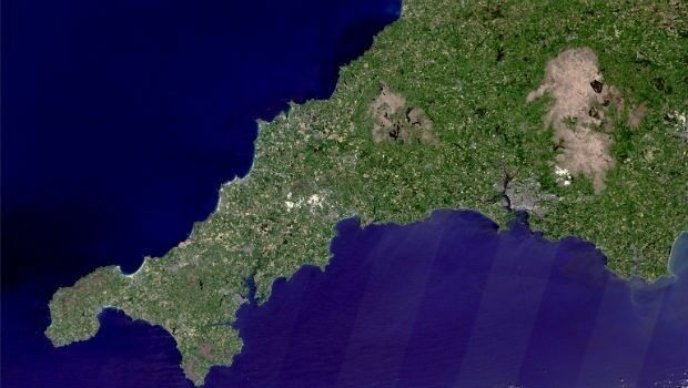
Prospecting for Lithium in Cornwall from Space
25th January 2018
Prospecting for Lithium in Cornwall from SpaceThe compilation, reproduction and dissemination of maps and charts by means of manual (analogue) or digital techniques, tools and workflows. This topic covers the compilation, reproduction, dissemination and use of both analogue (paper) and digital maps, charts and atlases. As well as the science of cartography, including georeferencing and geocoding, digital techniques for compiling and generating various types of raster and vector maps and charts are covered, as are the digital mapping tools and Geographic Information Systems available for this purpose. The application of cartography for aeronautical, terrestrial and marine purposes is also covered
25th January 2018
Prospecting for Lithium in Cornwall from Space24th January 2018
Historical insight for urban development projects
24th January 2018
IDS GeoRadar moves to new headquarters in Pisa, Italy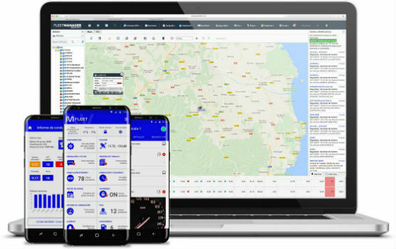
24th January 2018
Verizon Telematics Continues European Expansion with new Acquisition
24th January 2018
Bentley Systems Expands through Acquisition of S-Cube Futuretech24th January 2018
GeoCalc SDK 7.4 Update Includes Support for New Functionality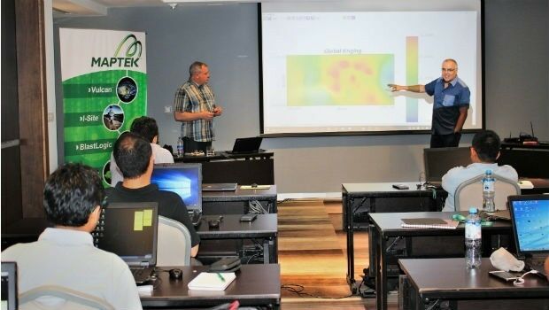
24th January 2018
Maptek launches new Master program in geostatistical modelling24th January 2018
New Autonomy Development Platform Announcement24th January 2018
Work Hard, Play Hard at the 2018 Carlson ‘Go West’ User Conference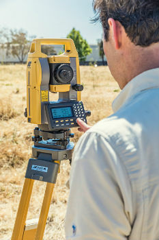
24th January 2018
Topcon announces new manual total station24th January 2018
Dassault Systèmes Recognized as the Worlds Most Sustainable Company24th January 2018
Schneider Electric Partnership With Power Engineers Incorporated24th January 2018
Belgocontrol selects Unifly to develop digital platforms for drone users
23rd January 2018
ABPmer prepares scoping documents to support floating wind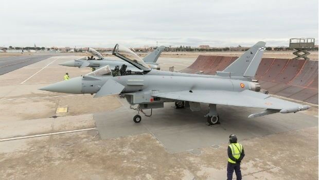
23rd January 2018
Airbus Delivers Latest Standard Eurofighter to Spanish Air Force
23rd January 2018
Commercial UAV Expo Europe is moving to Amsterdam this year.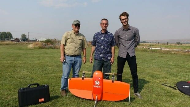
23rd January 2018
Wingtra partners with RDO Integrated Controls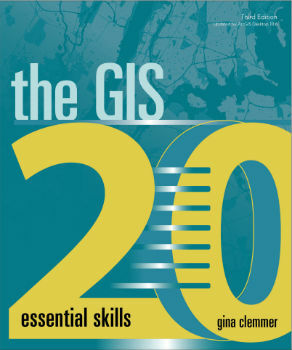
23rd January 2018
Learn the Basics of Mapping with Geographic Information Systems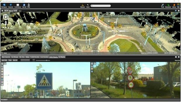
23rd January 2018
Orbit GT exhibits and showcases Feature Extraction Pro at ILMF, Denver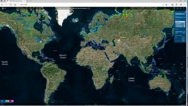
22nd January 2018
Global Water Quality Portal Built to Support UNESCO Programme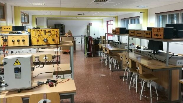
22nd January 2018
Bentley Academic Program Suscribed By Escuela Superior De Ingenieria
22nd January 2018
Space agency report aims to shape Australia’s future
22nd January 2018
Drones not bridges answers Boris Johnson’s cross Channel suggestion22nd January 2018
Hexagon to Feature Network Model Management Solutions22nd January 2018
Panoramic 360 and Patented Point Cloud Simplification to 3D PDF
19th January 2018
HERE appoints Leon van de Pas to lead Asia-Pacific region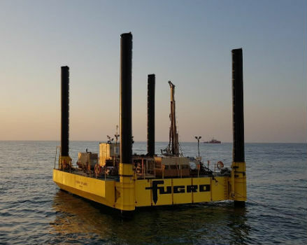
19th January 2018
Fugro Undertakes Surveys for UAE Hail and Ghasha Gas Development19th January 2018
Motorola TETRA Communications Network for the Police of Moldova18th January 2018
IWCE 2018 Announces Keynote Presentations18th January 2018
IWCE 2018 to Host Communications Technology Professionals18th January 2018
CGG Supports E&P Digitalization with Smart Data Solutions
18th January 2018
Garmin® earns two Supplier of the Year awards from Embraer17th January 2018
EARSC and AGI sign memorandum of understanding
17th January 2018
Airbus telephony contract from the French Ministry of the Armed Forces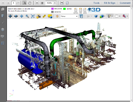
17th January 2018
PDF3D v2.15 Released with a host of New Features and Enhancements
17th January 2018
Golden Software Releases GrapherTM for 2D and 3D Graphing and Analysis
17th January 2018
thinkWhere Takes a Global View with theMapCloud Platform16th January 2018
New Dealer in Australia and New Zealand Announcement
16th January 2018
FREQUENTIS UK appoints Andy Madge as Managing Director
16th January 2018
GSSI Adds Drill Hole Feature to StructureScan™ Mini XT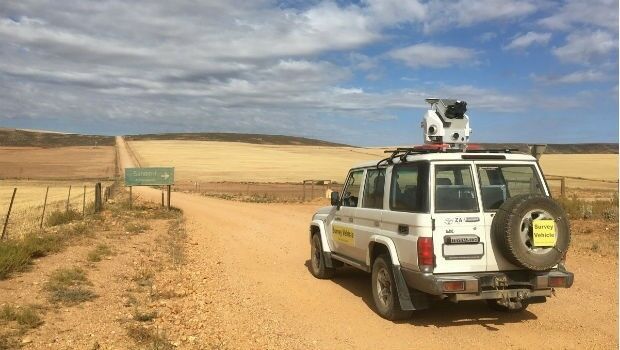
16th January 2018
Getmapping launches Mobile Mapping Survey Solutions to southern Africa16th January 2018
South Korea Agency for Defense Development Selects SimActive16th January 2018
CES visitors blown away by the BYTON Concept