
Free Webinar Assuring Critical Indoor Communications for Public Safety
4th January 2018
Free Webinar Assuring Critical Indoor Communications for Public SafetyThe compilation, reproduction and dissemination of maps and charts by means of manual (analogue) or digital techniques, tools and workflows. This topic covers the compilation, reproduction, dissemination and use of both analogue (paper) and digital maps, charts and atlases. As well as the science of cartography, including georeferencing and geocoding, digital techniques for compiling and generating various types of raster and vector maps and charts are covered, as are the digital mapping tools and Geographic Information Systems available for this purpose. The application of cartography for aeronautical, terrestrial and marine purposes is also covered
4th January 2018
Free Webinar Assuring Critical Indoor Communications for Public Safety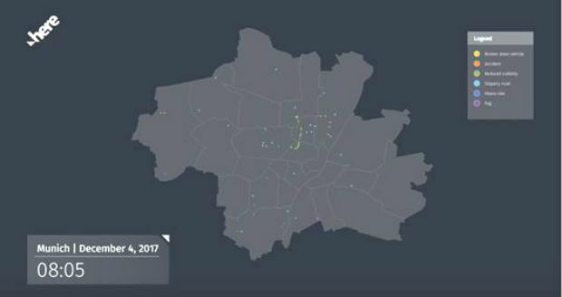
4th January 2018
HERE to deliver BMW drivers safety services
4th January 2018
Maxar Technologies appoints Mike Greenley as Group President of MDA4th January 2018
Garmin begins shipment of the GFC 500 autopilot2nd January 2018
OGC Invitation to Tender for Testbed 14 Thematic Exploitation Platform
2nd January 2018
Fugro Wins Environmental Leadership Award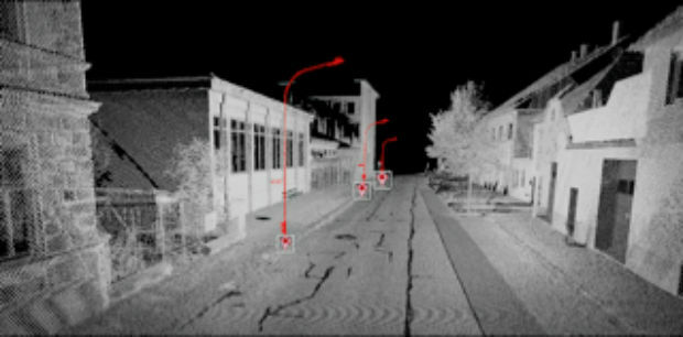
2nd January 2018
Orbit GT showcases Automated Pole and Bridge Clearance Detection30th December 2017
LG Electronics and HERE Technologies partner on autonomous cars
23rd December 2017
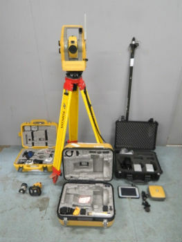
Online auction of surveying equipment FACTO GEO.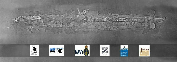
22nd December 2017
Fugro’s Data Brings Successful Close To The Search For Lost Sub AE1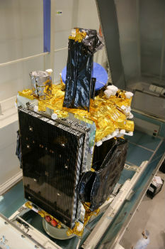
22nd December 2017
Airbus ships high-power electric SES-14 satellite to Kourou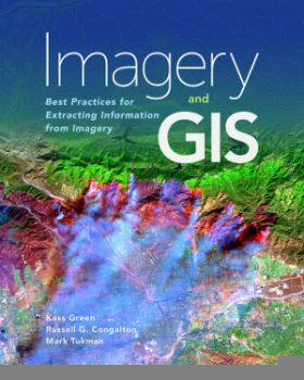
22nd December 2017
Unlock Information from Imagery for Use in Maps and Analysis21st December 2017
An economical, easy-to-install, and rule-compliant ADS-B Out solution
21st December 2017
Healthcare to Smart Cities Showcased by Dassault Systèmes at CES 2018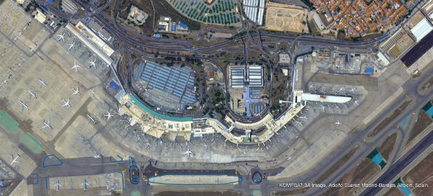

21st December 2017
Joint Exercise between the British Royal Navy and the Israeli Navy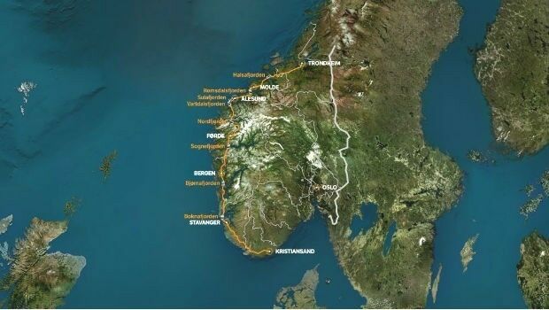
21st December 2017
Fugro To Play Pivotal Role In Norway’s Largest Ever Highway Project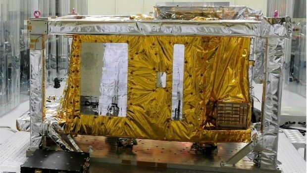
20th December 2017
Airbus delivered GOCI-II instrument to the Korean space agency
20th December 2017
ComNav Introduces Rugged R500 Android-Based GNSS Data Collector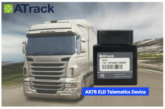
20th December 2017
ATrack Introducing New ELD Telematics Device AX7B20th December 2017
LCCS for the U.S. Army’s C-26 and UC-35 Aircraft Fleet20th December 2017
Blue Marble Adds Chinese Reseller to its Worldwide Network of Partners20th December 2017
Topcon and Bentley announce kick-off of Constructioneering Academy20th December 2017
Linear Draft - 3D BIM Overhead Line Electrification Designer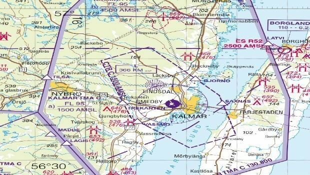
20th December 2017
East View Geospatial Now Offering Swedish Aeronautical Charts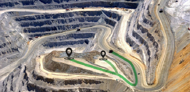
20th December 2017
Hexagon Mining releases improved schedule optimizer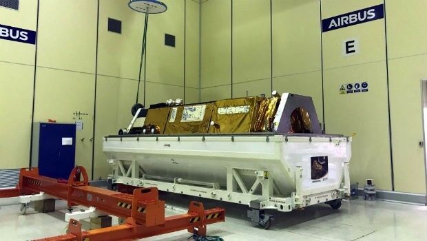
19th December 2017
PAZ satellite starts its journey to space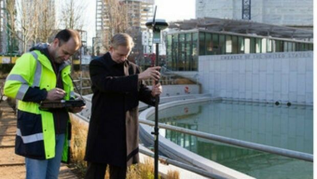

19th December 2017
Esri Maps Highlight Holiday Traffic around Major Airports19th December 2017
Landmark Information secures Met Office digital contract
18th December 2017
FIG Congress 2018 6-11 May 2018 - Registration has opened18th December 2017
Josh Weiss Named President of Hexagon Mining_preview.jpg)
18th December 2017
£4.4m to help reduce 'hidden hunger' in Ethiopia and Malawi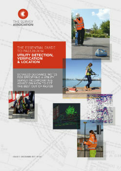
18th December 2017
Survey Association issues new guidance on specifying a utility survey
18th December 2017
A year of progress for commercial drone industry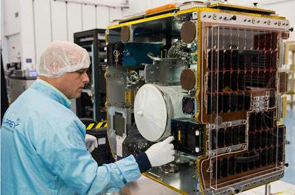
18th December 2017
SSTL ships RemoveDEBRIS mission for ISS launch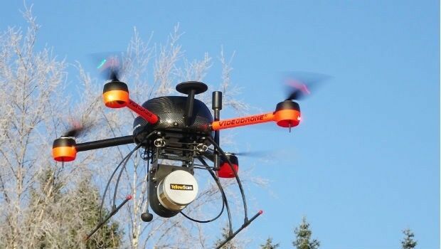
16th December 2017
Newly Launched Seminar Programme at GEO Business 2018
16th December 2017
GEO Business 2018 announce Call for Abstracts
16th December 2017
EUMETSAT takes ownership of two MTG ground stations16th December 2017
Big Data Analytics for Geospatial Solutions Accelerated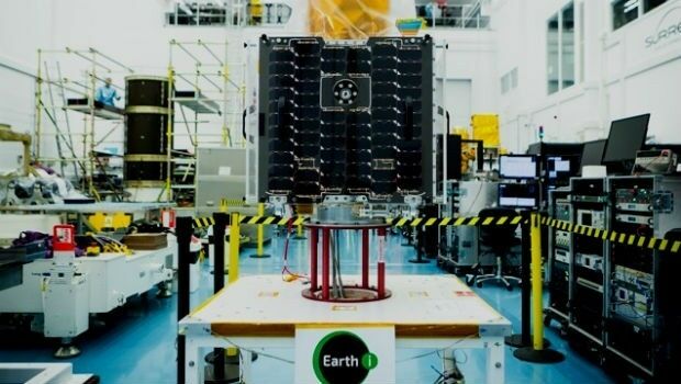
15th December 2017
Earth-i chooses Spacemetric for image and video processing
15th December 2017
GeoSLAM Celebrates 5 Years In Business With New HQ & Record Growth
15th December 2017
Fugro Completes The Deep Foundation Testing For Dubai Signature Tower