
Cartography
The compilation, reproduction and dissemination of maps and charts by means of manual (analogue) or digital techniques, tools and workflows. This topic covers the compilation, reproduction, dissemination and use of both analogue (paper) and digital maps, charts and atlases. As well as the science of cartography, including georeferencing and geocoding, digital techniques for compiling and generating various types of raster and vector maps and charts are covered, as are the digital mapping tools and Geographic Information Systems available for this purpose. The application of cartography for aeronautical, terrestrial and marine purposes is also covered
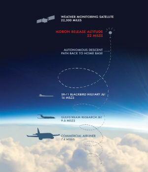
Uavos Inc. And Stratodynamics Aviation Inc. Pioneer A Monitoring Project
18th October 2018
Uavos Inc. And Stratodynamics Aviation Inc. Pioneer A Monitoring Project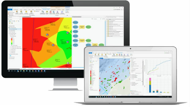
Exprodat Upgrades Exploration Software to ArcGIS Pro
18th October 2018
Exprodat Upgrades Exploration Software to ArcGIS Pro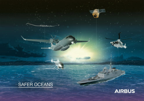
Airbus to showcase smart solutions for safer oceans at Euronaval
18th October 2018
Airbus to showcase smart solutions for safer oceans at Euronaval
Advanced subsurface insight is theme of Fugro geophysics seminar
18th October 2018
Advanced subsurface insight is theme of Fugro geophysics seminar
URISA Leaders Recognized at GIS-Pro & CalGIS 2018
18th October 2018
URISA Leaders Recognized at GIS-Pro & CalGIS 2018
Hexagon Geosystems at GEO|Design+BIM 2018
18th October 2018
Hexagon Geosystems at GEO|Design+BIM 2018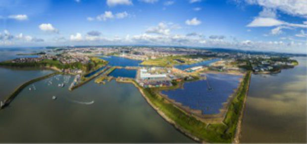
OceanWise supplies new Tide and Weather Systems to all ABP South Wales Ports
17th October 2018
OceanWise supplies new Tide and Weather Systems to all ABP South Wales Ports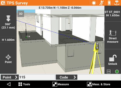
GeoMax announces X-PAD Ultimate field software
17th October 2018
GeoMax announces X-PAD Ultimate field software
DotProduct announces Dot3DTM 3.0 with Intel® RealSenseTM 3D scanning
17th October 2018
DotProduct announces Dot3DTM 3.0 with Intel® RealSenseTM 3D scanning
High-End Seismic Imaging Solves Shallow Gas Challenges
17th October 2018
High-End Seismic Imaging Solves Shallow Gas Challenges
Geomni Forms Strategic Alliance with Skyline Software Systems
17th October 2018
Geomni Forms Strategic Alliance with Skyline Software Systems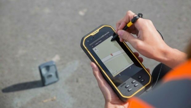
Trimble Introduces New Handheld Computer for Field Data Collection
17th October 2018
Trimble Introduces New Handheld Computer for Field Data Collection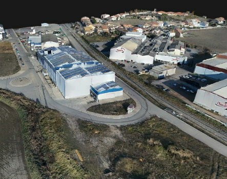
Trimble Inpho Software Suite Extends Photogrammetric Deliverables
17th October 2018
Trimble Inpho Software Suite Extends Photogrammetric Deliverables
Siemens and Bentley Systems Announce Integrated APM Solution
17th October 2018
Siemens and Bentley Systems Announce Integrated APM Solution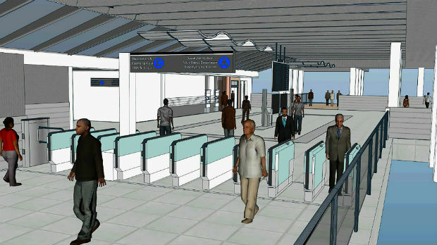
Bentley Systems Acquires LEGION, Leading Pedestrian Simulation Software
17th October 2018
Bentley Systems Acquires LEGION, Leading Pedestrian Simulation Software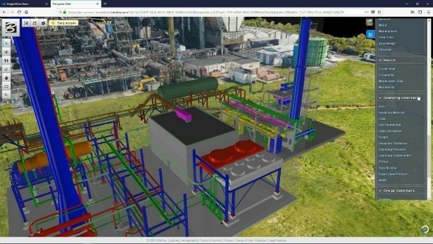
Siemens and Bentley Systems announce PlantSight™
17th October 2018
Siemens and Bentley Systems announce PlantSight™
Bentley Acquires Agency9 to Realize Digital Twins for Every City
17th October 2018
Bentley Acquires Agency9 to Realize Digital Twins for Every City
Going Digital (Twins): Bentley Inaugurates iTwinTM Services!
17th October 2018
Going Digital (Twins): Bentley Inaugurates iTwinTM Services!
Rugged Tablet Purpose-built for High Accuracy Measurements
17th October 2018
Rugged Tablet Purpose-built for High Accuracy Measurements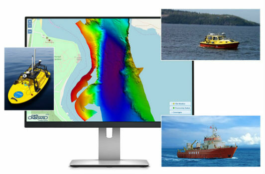
Teledyne CARIS to Present on Process Automation and Machine Learning
16th October 2018
Teledyne CARIS to Present on Process Automation and Machine Learning
Clickadu chooses Digital Element’s IP intelligence solution
16th October 2018
Clickadu chooses Digital Element’s IP intelligence solution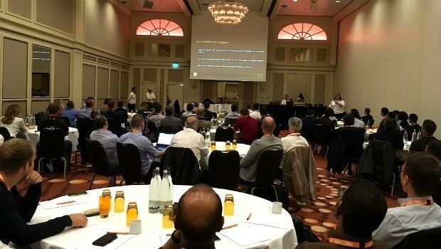
GeoSLAM Welcomes New Member Of ZEB Family For Indoor + Outdoor Use
16th October 2018
GeoSLAM Welcomes New Member Of ZEB Family For Indoor + Outdoor Use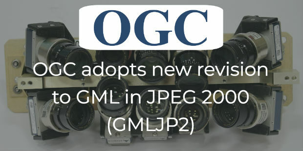
OGC adopts new revision to GML in JPEG 2000 (GMLJP2)
16th October 2018
OGC adopts new revision to GML in JPEG 2000 (GMLJP2)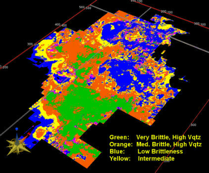
Modern Facies Analysis Brings Greater Accuracy to Reservoir Models
16th October 2018
Modern Facies Analysis Brings Greater Accuracy to Reservoir Models
International LiDAR Mapping Forum Announces 2019 Education Program
16th October 2018
International LiDAR Mapping Forum Announces 2019 Education Program
Meet the latest GeoTech and PropTech companies
16th October 2018
Meet the latest GeoTech and PropTech companies
Universal Avionics, Unveils New ‘Head-Up, Head-Down’ Flight Deck
16th October 2018
Universal Avionics, Unveils New ‘Head-Up, Head-Down’ Flight Deck

Pointfuse Launches New Laser Scanning Software Suite
15th October 2018
Pointfuse Launches New Laser Scanning Software Suite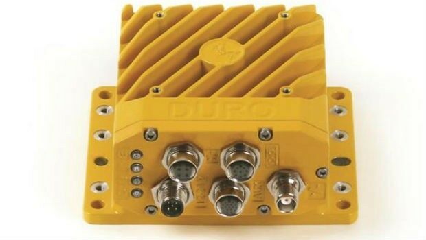
Swift Navigation and Carnegie Robotics Introduce Duro Inertial
15th October 2018
Swift Navigation and Carnegie Robotics Introduce Duro Inertial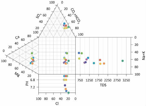
Golden Software Releases Preview of Enhanced Scientific Graphing Package
15th October 2018
Golden Software Releases Preview of Enhanced Scientific Graphing Package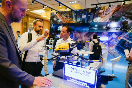
Topcon announces speaking presentations for Year in Infrastructure 2018
12th October 2018
Topcon announces speaking presentations for Year in Infrastructure 2018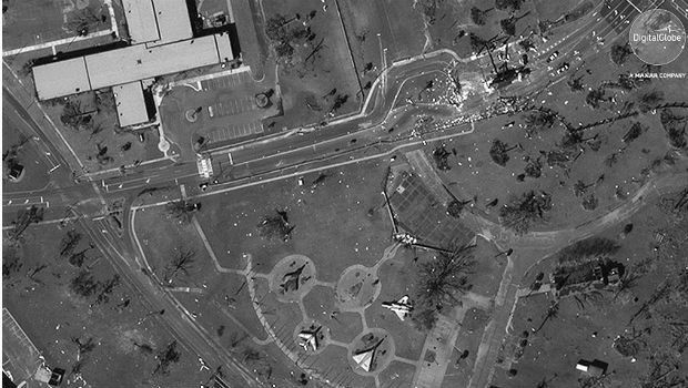
Hurricane Michael Aftermath in Panama City and Tyndall AFB
12th October 2018
Hurricane Michael Aftermath in Panama City and Tyndall AFB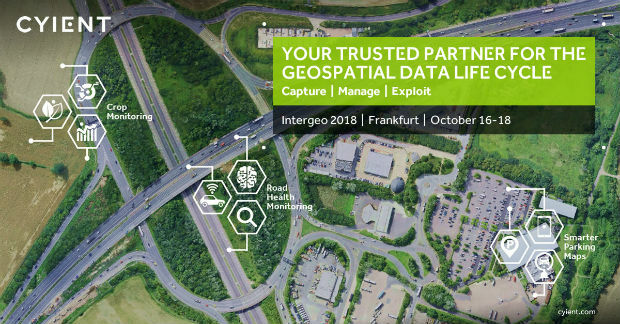
Cyient to Launch Geospatial Data Exploitation Solutions at Intergeo 2018
12th October 2018
Cyient to Launch Geospatial Data Exploitation Solutions at Intergeo 2018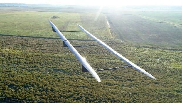
UAVOS ApusDuo Aircraft Completed Flight Tests
12th October 2018
UAVOS ApusDuo Aircraft Completed Flight Tests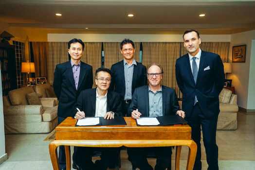
Orbit GT signs strategic Smart Mapping deal with Singapore Land Authority at Embassy
12th October 2018
Orbit GT signs strategic Smart Mapping deal with Singapore Land Authority at Embassy
Boundless Partners with the United Nations on the UN Open GIS Initiative
12th October 2018
Boundless Partners with the United Nations on the UN Open GIS Initiative
Global Mapper Adds Online Access to NEXTMap One™
12th October 2018
Global Mapper Adds Online Access to NEXTMap One™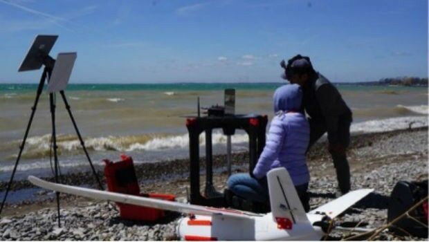
Aeromao Inc. announces the Aeromapper Talon Amphibious
12th October 2018
Aeromao Inc. announces the Aeromapper Talon Amphibious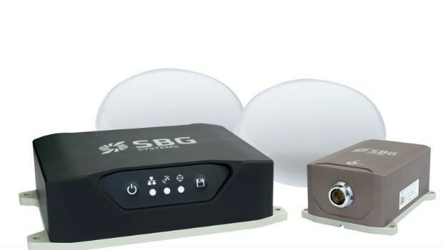
Navsight Land/Air Solution: Powerful New Inertial Navigation Solution
11th October 2018
Navsight Land/Air Solution: Powerful New Inertial Navigation Solution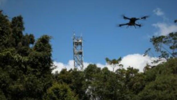
Novel LIDAR Data Improves Our Understanding Of Tropical Forests
11th October 2018
Novel LIDAR Data Improves Our Understanding Of Tropical Forests
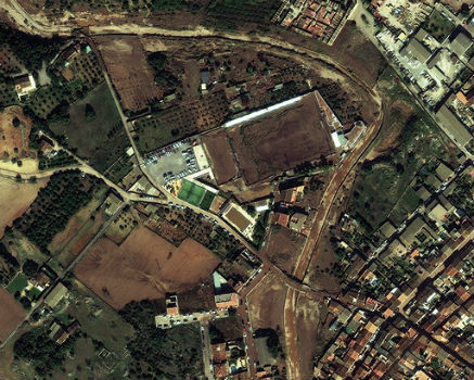
MALLORCA: Small Island hit by Flash Flooding
11th October 2018
MALLORCA: Small Island hit by Flash Flooding
Meet the latest GeoTech and PropTech companies
11th October 2018
Meet the latest GeoTech and PropTech companies