
Eos Supports Haiti Outreach in its Sustainable Water Initiative
27th October 2018
Eos Supports Haiti Outreach in its Sustainable Water InitiativeThe compilation, reproduction and dissemination of maps and charts by means of manual (analogue) or digital techniques, tools and workflows. This topic covers the compilation, reproduction, dissemination and use of both analogue (paper) and digital maps, charts and atlases. As well as the science of cartography, including georeferencing and geocoding, digital techniques for compiling and generating various types of raster and vector maps and charts are covered, as are the digital mapping tools and Geographic Information Systems available for this purpose. The application of cartography for aeronautical, terrestrial and marine purposes is also covered
27th October 2018
Eos Supports Haiti Outreach in its Sustainable Water Initiative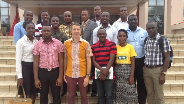
26th October 2018
DARA project wins Better Satellite World Award26th October 2018
MOVE 2019 Launches, Ready to Revolutionise Urban Mobility.jpg)
25th October 2018
Cyber Security Summit & Expo set to provide unrivalled content
25th October 2018
Airbus launches Ocean Finder to improve safety of assets at sea
25th October 2018
Pakistan’s Bahria University Benefits from CGG GeoSoftware’s Donation25th October 2018
City Technical Services To Improve Efficiency And Enhance Safety25th October 2018
Dassault Systèmes Introduces SOLIDWORKS 2019
25th October 2018
GSSI Highlights UtilityScan® GPR System at GSA Annual Meeting
25th October 2018
thinkWhere’s theMapCloud Powers New Online Data Services24th October 2018
Macquarie Capital reach Financial Closure on Largest PPP Project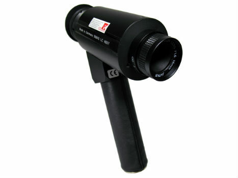
24th October 2018
IR Viewers - Available from Stock for Quick Dispatch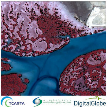
24th October 2018
Satellite-Derived Mangrove Health Assessment Delivered to Abu Dhabi
24th October 2018
Fugro Seminar To Spotlight Role Of Geoscience24th October 2018
Esri enters into MOU with UAE Statistics Authority
24th October 2018
Lockheed Martin Purchase An Aeromapper Talon sUAS
24th October 2018
Remember Remember QGIS 3 Training in November24th October 2018
SSTL’s international exports recognised with a UK Board of Trade Award24th October 2018
GeoSpock Wins Liverpool Mayor’s ‘Smart Cities Realised’
24th October 2018
MAPPS Announces Passage of the Geospatial Data Act
24th October 2018
French Navy’s surface fleet now equipped with RIFAN 2 secure intranet24th October 2018
RIEGL to Exhibit and Present at Future of Mining Americas 2018!23rd October 2018
Future Energy Nigeria returns to Lagos in November23rd October 2018
Schiphol to organize a BIM for Facility Management program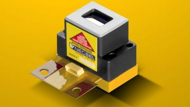
23rd October 2018
1W Output Power at 577nm - Yellow High Power Laser23rd October 2018
Schneider Electric Expands Electric, Gas And Water Features
23rd October 2018
Bentley Systems Announces Winners of Year in Infrastructure 2018 Awards22nd October 2018
Esri Announces Student Poster Competition
22nd October 2018
Fraunhofer IPM supports route planning for fiber-optic networks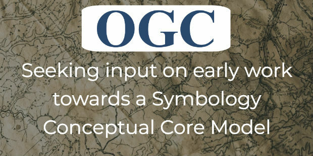
22nd October 2018
OGC seeks public comment on Symbology Conceptual Core Model
22nd October 2018
Ordnance Survey appoints John Clarke as Non-Executive Director
22nd October 2018
ARUP Hosted BIM Event Success for 3D Repo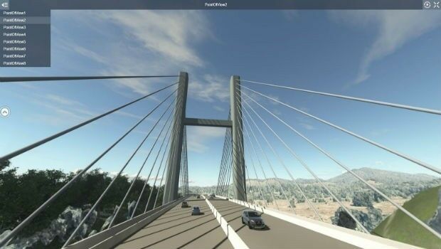
22nd October 2018
Comprehensive Modeling Environment for Multidiscipline CollaborationAirbus20171.jpg)
21st October 2018
Ariane 5 successfully launched from KourouAirbus2017.jpg)
21st October 2018
Ariane 5 successfully launched from Kourou21st October 2018
MOBtronic Man Overboard Solution Wins Prestigious Safety at Sea Award21st October 2018
Royal Navy’s invitation to Maritime Information Warfare 201819th October 2018
Royal Navy’s invitation to Maritime Information Warfare 201819th October 2018
Spectra Precision Announces Name Change and a New Brand Identity19th October 2018
Government of Canada to Invest $7.2 Million in exactEarth

19th October 2018
Remote GeoSystems Releases New MISB FMV Module18th October 2018
Apps from Avineon Now Available in the ArcGIS Marketplace
18th October 2018
Digitalisation gets everyone talking at INTERGEO 201818th October 2018
Geospatial Media and Communications announces GEO|Design+BIM Awards