
Pix4DMapper + Aeromapper Talon fixed wing BVLOS system
6th December 2018
Pix4DMapper + Aeromapper Talon fixed wing BVLOS systemThe compilation, reproduction and dissemination of maps and charts by means of manual (analogue) or digital techniques, tools and workflows. This topic covers the compilation, reproduction, dissemination and use of both analogue (paper) and digital maps, charts and atlases. As well as the science of cartography, including georeferencing and geocoding, digital techniques for compiling and generating various types of raster and vector maps and charts are covered, as are the digital mapping tools and Geographic Information Systems available for this purpose. The application of cartography for aeronautical, terrestrial and marine purposes is also covered
6th December 2018
Pix4DMapper + Aeromapper Talon fixed wing BVLOS system5th December 2018
Meet Key players of the Unmanned Systems Industry at TUS Expo Europe 2019
5th December 2018
OceanWise Workshop Bigger and Better than ever!5th December 2018
Fugro’s Surveys To Improve Coastal Resilience In Pacific Island Nation, Tuvalu5th December 2018
GeoCue Enables Third Party GNSS Use with Phantom 4 RTK5th December 2018
MapTiler wins Airbus Challenge of the Copernicus Masters 2018
5th December 2018
Use of online disaster-related geographic information
5th December 2018
UK Power Networks deploys Cartosys location-based services toolkit
5th December 2018
ERM Advanced Telematics Targets Stolen Vehicle Recovery5th December 2018
Boundless Awarded Certificate of Networthiness by U.S. Army5th December 2018
GSSI to Showcase UtilityScan® GPR system at AGU Fall Meeting5th December 2018
RIEGL will be exhibiting and presenting at IAFSM 2018!
5th December 2018
Esri Partners with the Ocean Health Index Team
5th December 2018
Fugro’s IRM Efficiencies Reduce Costs And Attract New North Sea Clients5th December 2018
Hexagon Selected by Greater Toronto Airports Authority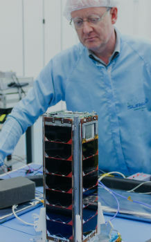
4th December 2018
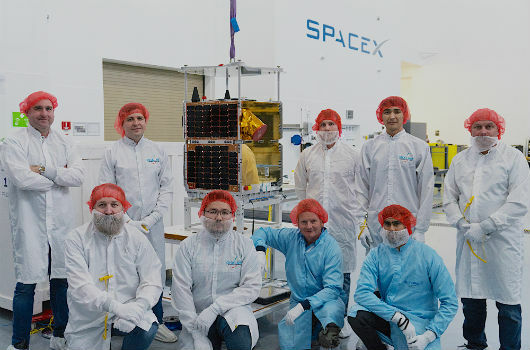
SSTL confirms successful launch of KazSTSAT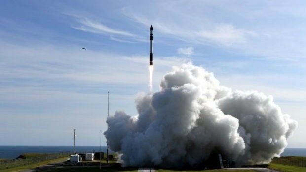
4th December 2018
Australia’s first commercial orbital launch facility_Cnes_2018_-_Distribution_Airbus_DS.jpg)
4th December 2018
Airbus locates maxi-trimaran Banque Populaire IX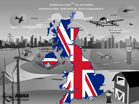
4th December 2018
ANRA Technologies UAS Traffic Management (UTM) Soars Into The UK

4th December 2018
Global expansion on the horizon for mapping technology firm
4th December 2018
Landmark Information Group announces senior leadership appointments
3rd December 2018
Disy releases new version of spatial ETL tool for Talend_Machlis._Photo-_Asaf_Shilo_.jpg)
3rd December 2018
Elbit Systems Awarded $112 Million Contract
3rd December 2018
Maptek Sentry wins Excellence in Innovation award2nd December 2018
The 4th Unmanned Systems (TUS) Expo Europe 2019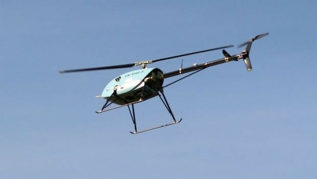
30th November 2018
Uavos Tested New Flight Algorithm ‘Glider’ For An Unmanned Helicopter
30th November 2018
Autonomous Vehicles, the Highlight of Ocean Business 201930th November 2018
AWS Announces the DeepRacer League (DRL)
30th November 2018
Septentrio boosts its portfolio with mosaic GNSS module
29th November 2018
Angus Council Harnesses Spatial Data with thinkWhere Cloud Tech
29th November 2018
Paragon Co-Founder And Director To Retire After Almost 35 Years
28th November 2018
EuroGeographics and Geospatial Media sign Strategic Partnership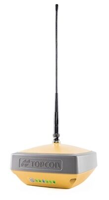
28th November 2018
Introducing the Topcon HiPer VR GNSS Receiver
28th November 2018
Announcing the OGC Energy & Utilities Summit
28th November 2018
SAS Signs Significant Distribution Agreement with GlobalSatArbus2018-11.jpg)
28th November 2018
Technology demonstrator CIMON* receives ‘Best of What’s New Award'28th November 2018
Add Geographic Intelligence to your Software Projects

28th November 2018
What apps can I use with Trimble Catalyst?27th November 2018
HERE Technologies announces developer APIs on AWS Marketplace
27th November 2018
Adoption of two jointly developed OGC/W3C standards